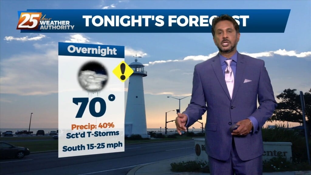
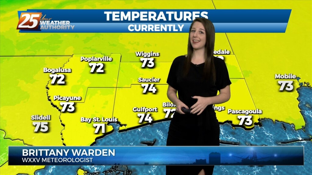
3/3 - Brittany's "Colder" Friday Night Forecast
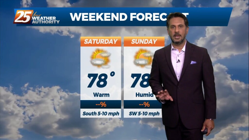
The center of the high will pass to our north on Saturday but the ridge axis will move overhead. The high will continue to progress eastward through the…
The center of the high will pass to our north on Saturday but the ridge axis will move overhead. The high will continue to progress eastward through the…
Current surface analysis shows the cold front has moved east of the forecast area and was near Mobile Bay as evident by the veered westerly winds behind it vs…
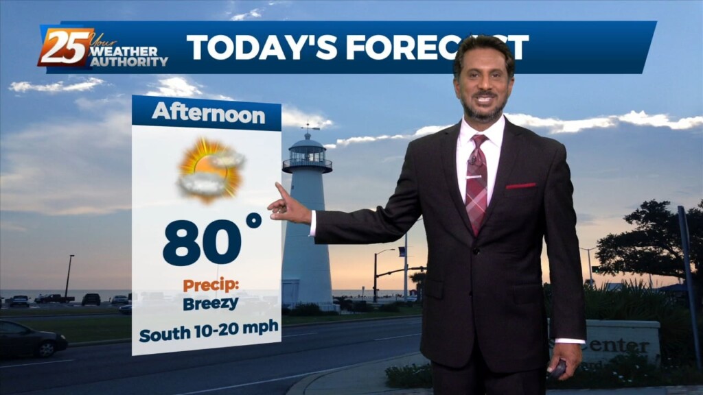
TOP TIER WEEKEND AHEAD... Behind the front this afternoon, winds will be gusty and we return back to more normal temperatures. These gusty winds and…
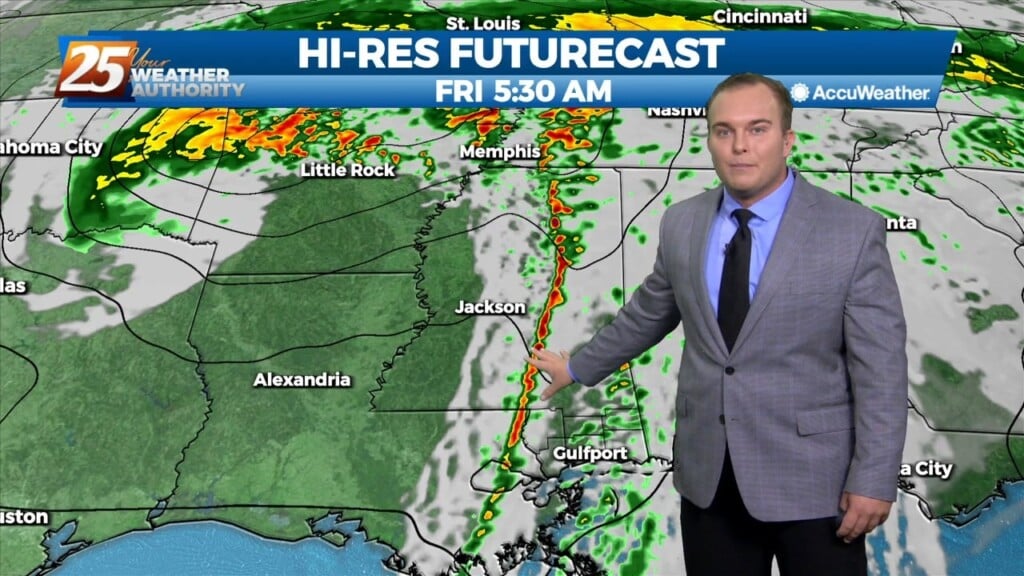
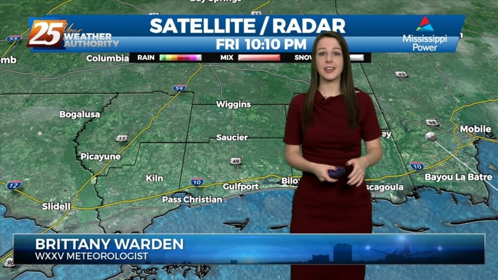
Currently there is a narrow line of showers across western Louisiana. Expect that to continue to move off to the east through the late morning hours.…
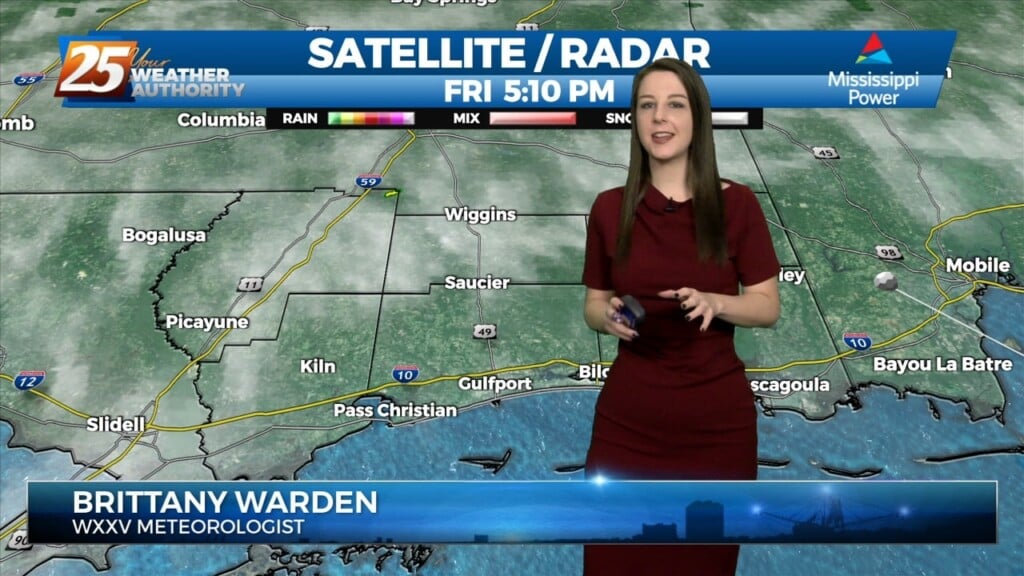
Some weak convection has developed over the MS Sound and near the Pearl River this afternoon. This is likely in response to steel low level lapse rates/enhanced…
Some weak convection has developed over the MS Sound and near the Pearl River this afternoon. This is likely in response to steel low level lapse rates/enhanced…
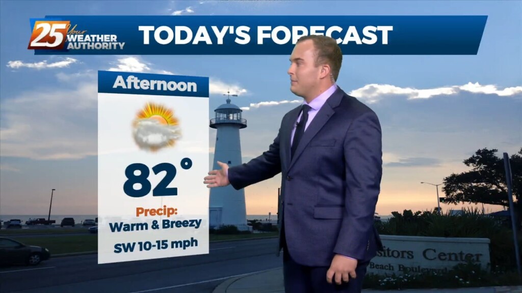
Warm and breezy conditions ahead this afternoon with a storm system developing to the west. A strong upper level disturbance begins to move from…
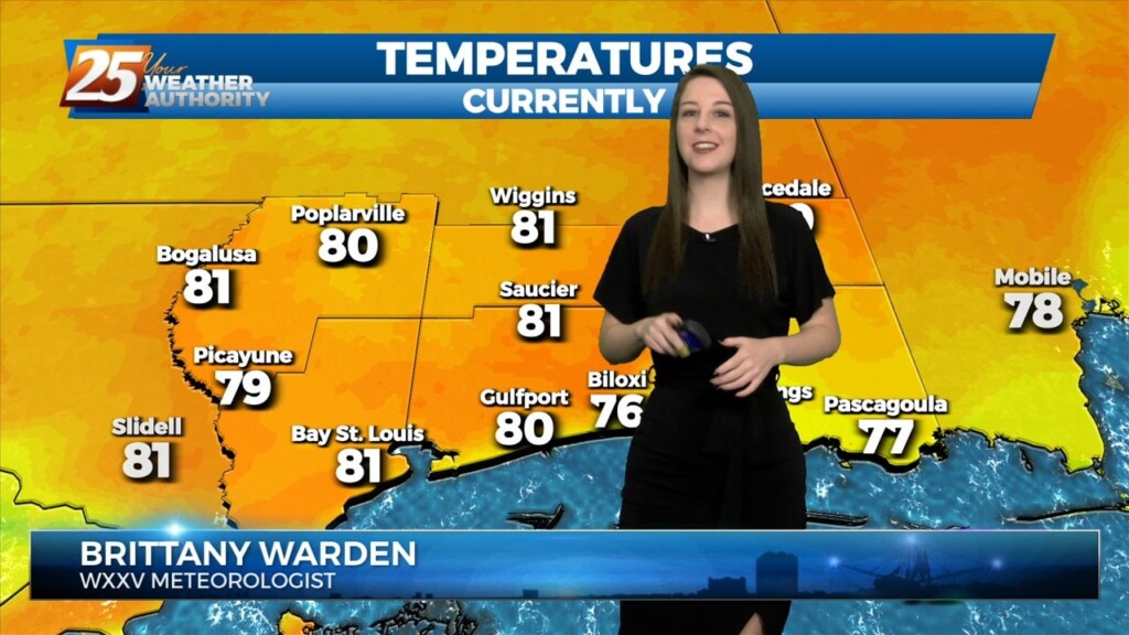
Another warm day expected across the region with most of the area warming into the upper 70s to low 80s along with breezy conditions. All eyes…
Another warm day across the region with most of the area warming into the lower and middle 80s...which is still well above average for this time of…
Another warm day across the region with most of the area warming into the lower and middle 80s...which is still well above average for this time…
Clouds will thin into this afternoon and very warm conditions are expected again. Breezy conditions this afternoon will subside this evening as daytime heating is lost. Clouds…
Continued unseasonably warm conditions will persist for the next few days as the surface high over the Bahamas causes southerly surface flow into…
The old frontal boundary from the prior system that mostly bypassed our area currently resides across portions of MS and LA this afternoon. On the…
The old frontal boundary from the prior system that mostly bypassed our area currently resides across portions of MS and LA this afternoon. On the backside…
Skies have cleared some since this morning. Temperatures will be in the 80s for a lot of the area again today. Winds will become breezy this afternoon,…
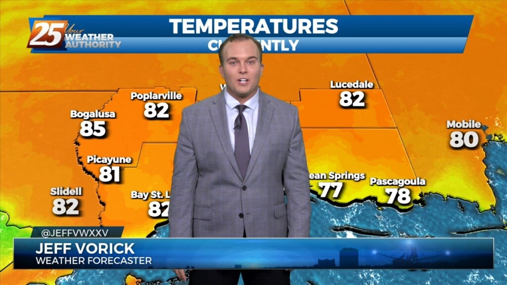
Another well above average day is expected in terms of temperatures across the region. At the surface a weak stationary front north of Hattiesburg will…
Another well above average day in terms of temps across the region. In fact, a few records fell as early as the lunch hour across South MS and SE…
Another well above average day in terms of temps across the region. In fact, a few records fell as early as the lunch hour across South…
Temperatures are soaring into the 80s for a lot of the area. Winds will remain elevated with gusts of 25-30 MPH this afternoon. Winds will back off and…
Ahead of a front today will be quiet the windy day and warm. Because we will be able to mix out quite high we will…
The mild pattern continues across South Mississippi. Winds will become elevated after midnight, keeping any fog outside of light patches at bay. Morning low temperatures…
It was definitely another warm one today, even with the amount of cloud cover. As fog the forecast tonight and through the weekend there are mainly just 2 things…
It was definitely another warm one today, even with the amount of cloud cover. As fog the forecast tonight and through the weekend there are mainly just 2…
The main feature at the surface remains to be a frontal boundary that has come to a slow crawl or just about stationary to our…