2/27 – Jeff’s “Very Warm” Monday Afternoon Forecast
Temperatures are soaring into the 80s for a lot of the area. Winds will remain elevated with gusts of 25-30 MPH this afternoon. Winds will back off and clouds will increase tonight. There is a 20% chance of showers this afternoon.
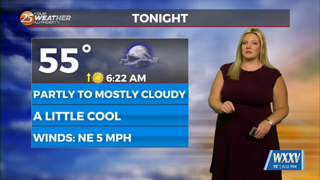
The mild conditions will continue tonight with the potential for fog to develop. More sunshine will be around tomorrow and temperatures will become warm again. More moisture builds in towards the middle of the workweek. The storm track will stay north through Wednesday and Thursday.
A system forming out of the Four Corners region will move to its east then northeast towards the end of this week. There is a low-end threat for severe thunderstorms Thursday into Friday. The best dynamics look to be to our northwest for a severe weather outbreak. The cold front will help provide for a squall line to move into our area before daybreak Friday.
Following the system, there will be a noticeable cool-down into the weekend. Skies will be mostly clear this weekend.


