2/26 – Jeff Vorick’s “Warm End to February” Sunday Night Forecast
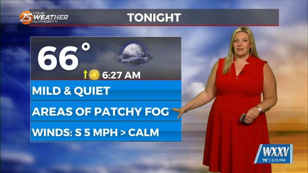
The mild pattern continues across South Mississippi. Winds will become elevated after midnight, keeping any fog outside of light patches at bay. Morning low temperatures in the 60s will warm efficiently into the 80s across our area. Partly cloudy skies and southwesterly winds of 15-25 MPH can be expected.
A cold front will approach our area from the northwest. There will be a 20% chance of showers with its passage. The front will not advance very far into our area. Along with that, it will not provide anything other than a slight dip in moisture. The very warm conditions will continue into the middle of the week.
A storm system looks to eject northeast out of the western Gulf of Mexico and Texas Wednesday into Thursday. Details at the moment are not fine-tuned; however it is worth noting that there is an outlook for severe weather. Our area is outlined for a low-end threat for severe thunderstorms Thursday. The cold front will make its way through South Mississippi by Friday morning.


