2/27 – Brittany’s “Well Above Seasonal Temperatures” Monday Evening Forecast
Another well above average day in terms of temps across the region. In fact, a few records fell as early as the lunch hour across South MS and SE LA. Winds have also been quite gusty with 925mb winds mixing down efficiently allowing for gusts to peak just below Wind Adv criteria.
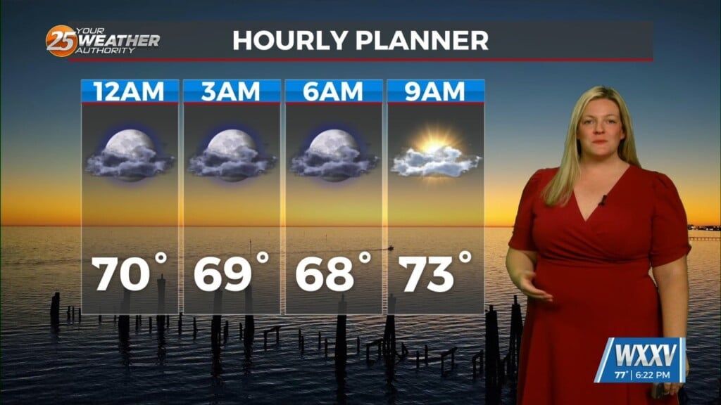
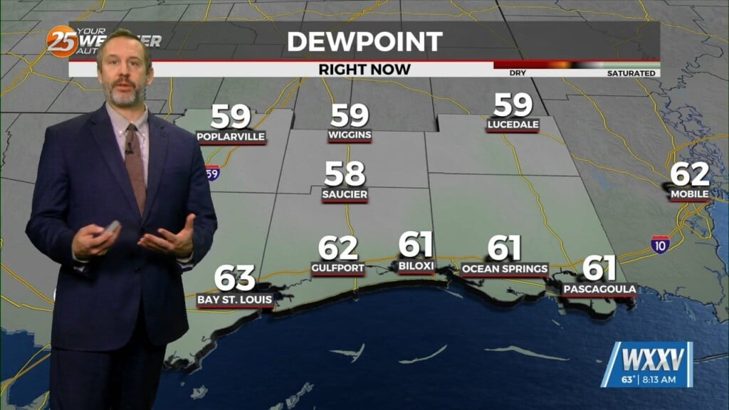
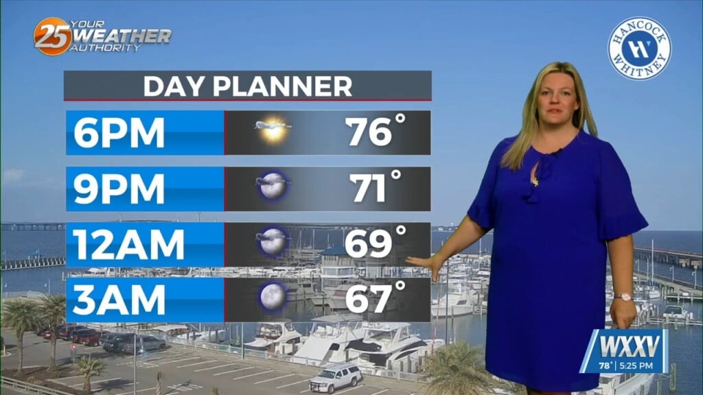
Taking a look above, the mid and upper level flow is zonal/progressive over the region. At the surface a weak cold front will continue to migrate southward toward our region this afternoon into tonight before stalling as it becomes parallel to the mean flow. Ahead of the front, conditions may become favorable for fog with the decreasing winds as well as moisture pooling. Otherwise, a bit of a temperature gradient develops overnight with the MS Gulf Coast and the southeast half of SE LA only dropping into the upper 60s to near 70F with the northwestern tier dropping down into the middle 50s.
On Tuesday, expect far less wind as the front will continue to reside near the region. Outside of a few extra clouds, the lack of upper level support should keep this feature dry. On the backside of the front across interior South MS, conditions dry out a bit with RH values dropping into the 20-30 percent range. Again, with winds decreasing, not expecting critical fire weather conditions at least at this time.
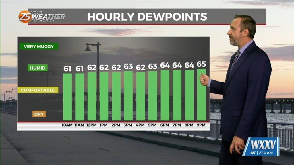
Going into midweek, not much changes. The flow might gradually start shifting to a more southwesterly flow around the northern or northwest periphery of a modest ridge over the western Caribbean. In this active flow an impulse does start to trigger some rainfall along and north of the I20 corridor as the aforementioned front begins to work back north as a warm front late in the period. Our area looks mostly dry despite a decent moisture return as southerly flow begins to ramp up ahead of the next system due into our area in the long term.


