3/1 – Brittany’s “Warm & Humid” Wednesday Night Forecast
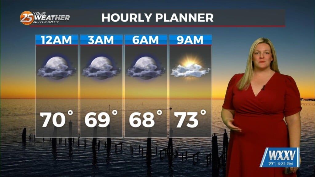
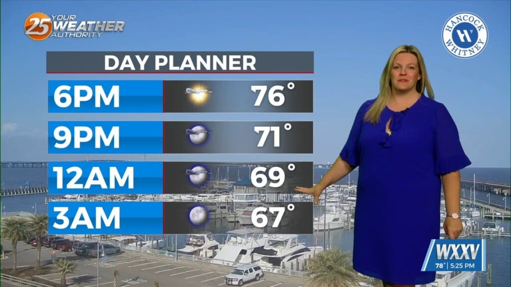
Another warm day across the region with most of the area warming into the lower and middle 80s…which is still well above average for this time of year. A few isolated very light showers have developed out there with the strong WAA/moist advection. Tonight, more low stratus is forecast to develop as low level moisture continues to stream into the region from the Gulf.
After tonight, all eyes will shift upstream as a strong upper level trough begins to move from Texas into the mid MS River Valley late in the period. Still watching the potential for severe weather along or ahead of the front. CAMs indicate a very thin line of showers/storms moving west to east Thursday night and into Friday morning. So, although shear looks great, the cap looks to be a primary limiting factor. Most of the upper level forcing and heightfalls will be just north of our region, which we would need to break the cap for a more higher-end event around here. Now, with that said, mid level lapse rates will be rather steep leading to elevated instability. If convection can manage to overcome the stout cap, there will be a strong wind gust potential and perhaps a mesovort or two. The best potential for this to happen would be closest to the best ascent/heightfalls, which would be generally north of I12 and west of I55.


