2/28 – Jeff Vorick’s “Warm & Breezy” Tuesday Afternoon Forecast
Skies have cleared some since this morning. Temperatures will be in the 80s for a lot of the area again today. Winds will become breezy this afternoon, then relax this evening.
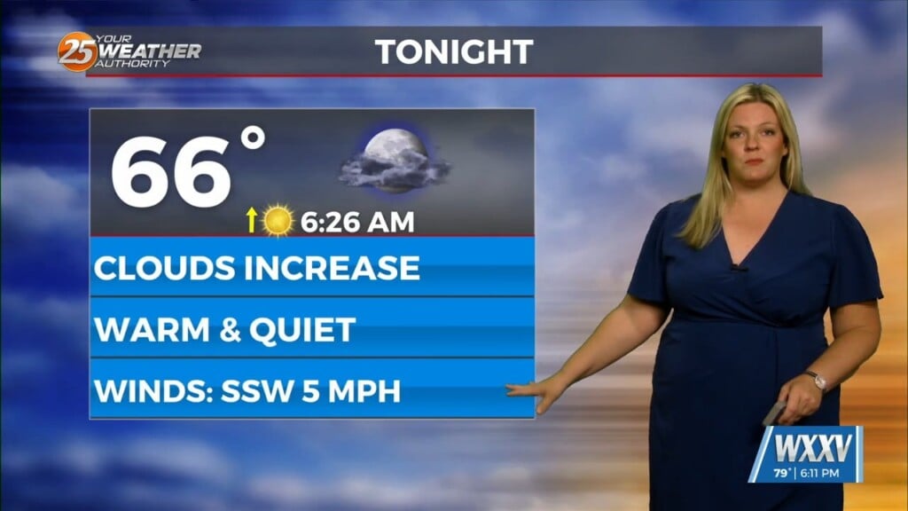
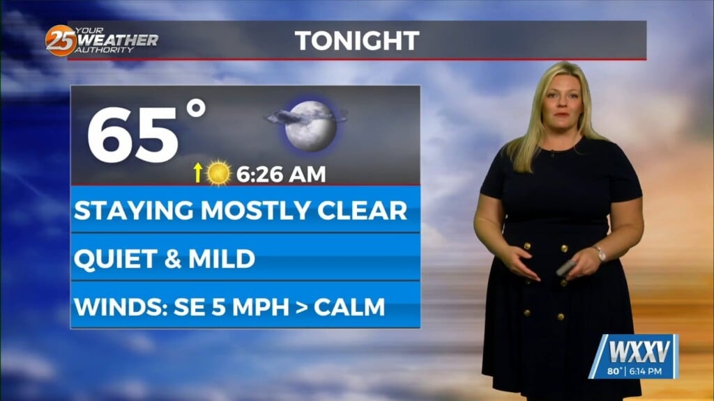
It will be mild overnight for our area with light southerly winds. Clouds will build back in along with moisture increasing in the low levels. The combination of the light southerly flow and a very low cloud deck presents the potential for fog across the area tomorrow morning. Clouds will be slow to dissipate tomorrow but some clearing is possible in the afternoon.
There will be low-end shower chances tomorrow due to the abundant moisture and buoyancy of the atmosphere. Winds will elevate tomorrow afternoon and remain that way overnight Wednesday into Thursday. There will be a storm system moving to its northeast from Texas during the day Thursday.
More clouds than sun will be around during the day Thursday. Being in the warm and humid sector of the system will allow for a 30% chance of showers in the afternoon. There is a Slight Risk (Level 2 of 5) risk for severe thunderstorms mainly for the overnight timeframe. While the best dynamics for a severe thunderstorm outbreak will be to our northwest, a squall line will push east towards our area with the cold front.
All modes of severity are in play, but damaging straight-line winds and isolated tornadic activity will be the most likely scenario. The line of showers and thunderstorms will make it through our area by around daybreak Friday. Following that, rapid clearing will take place Friday morning into the afternoon. There will be a cool-down to near-seasonal temperatures this weekend.


