3/3 – The Chief’s “Sunny & Breezy Friday Afternoon” Weekend Forecast
TOP TIER WEEKEND AHEAD…
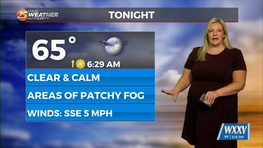
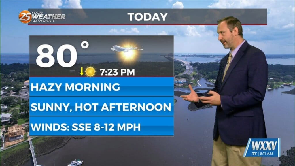
Behind the front this afternoon, winds will be gusty and we return back to more normal temperatures. These gusty winds and dryer conditions will be a fire weather concern, but should not reach critical thresholds. High pressure builds into the area and we will be in zonal flow aloft, so expect the rest of the short term to be pleasant.
We remain in zonal flow aloft with a surface high pressure over the southeast until midweek. This will keep the temperature mild for the start of the next week. As we get into the middle of the week, upper-level ridging starts to build into the southern states. This will start a gradual warming trend to end the week, while still staying fairly dry.


