3/1 – Jeff’s “Warm Pattern Continues” Wednesday Afternoon Forecast
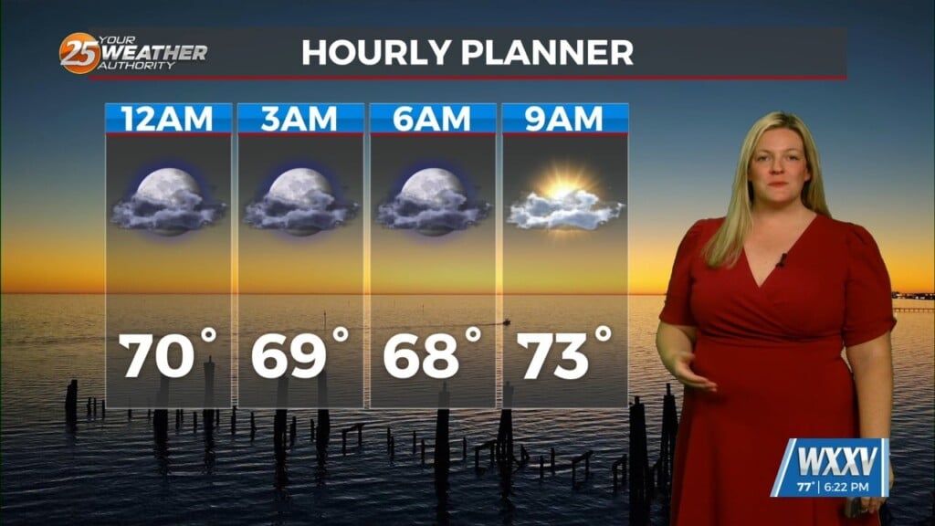
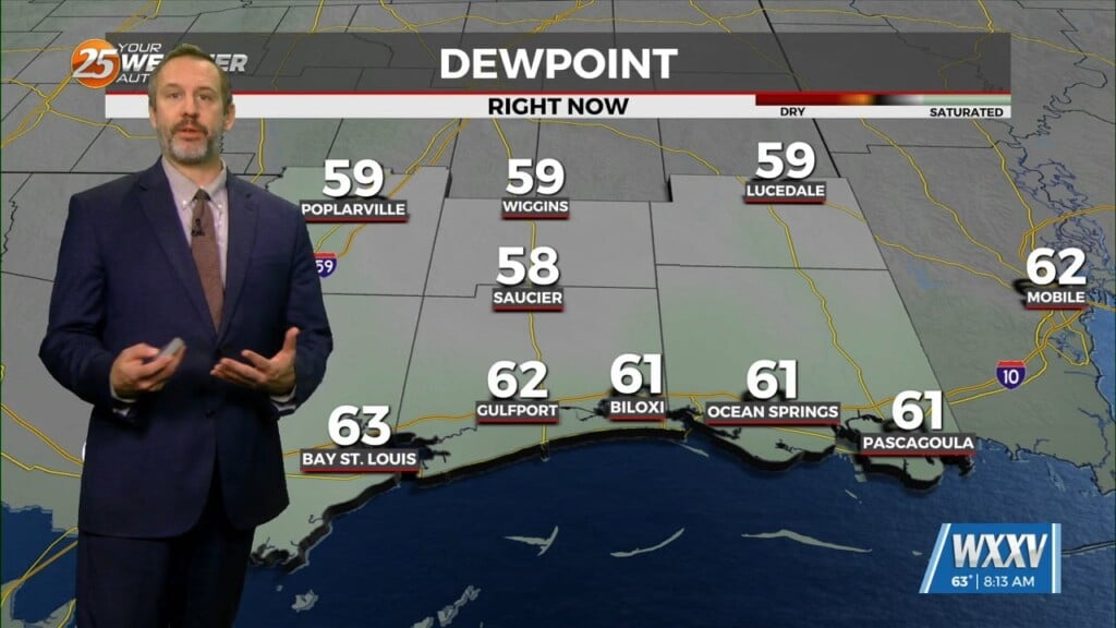
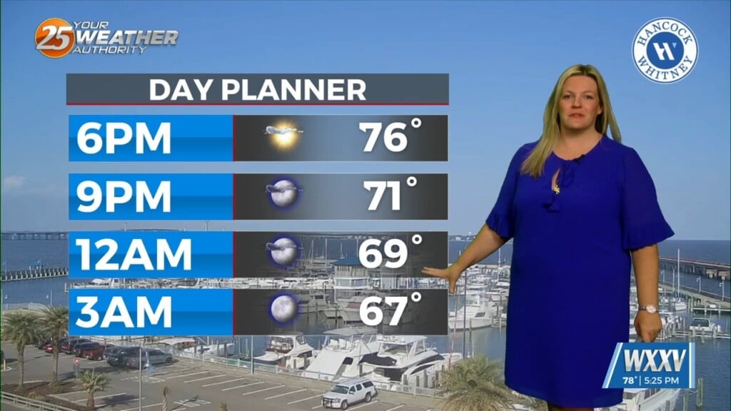
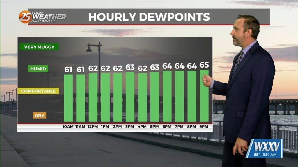
Clouds will thin into this afternoon and very warm conditions are expected again. Breezy conditions this afternoon will subside this evening as daytime heating is lost. Clouds will also build back in as ample moisture and cooling temperatures will bring cloud cover closer to the surface. Fog has the potential to be around again Thursday morning.
A dynamic system will be moving to its northeast out of Texas tomorrow. It will bring with it a cold front that will pass through our area Friday morning. The Storm Prediction Center has downgraded our severe thunderstorm threat to a Marginal, or Level 1 of 5 risk. The best ingredients will be closer to the area of low pressure to our northwest. There is a low-end threat for strong straight-line wind gusts with a line of showers.
The squall line of showers and embedded thunderstorms will push through South Mississippi around daybreak Friday. Not much in the way of rainfall will come from this system. Windy and clearing conditions can be expected through the day Friday. The airmass behind the cold front will bring our temperatures back to near-average conditions. The weekend will be a beautiful one across our area.


