3/3 – Brittany’s “Beautiful” Friday Evening Forecast
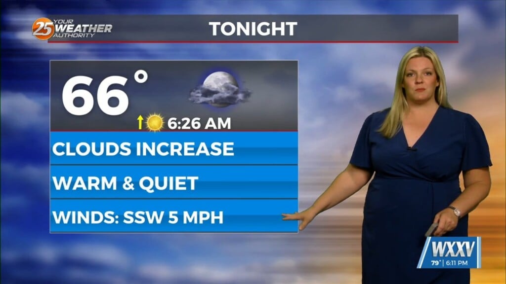
Current surface analysis shows the cold front has moved east of the forecast area and was near Mobile Bay as evident by the veered westerly winds behind it vs southwesterly ahead of it. Winds are still gusting 20 to 25 mph along and east of I-55 but not nearly as strong as it was this morning. Winds will continue to quickly diminish through the evening hours as high pressure builds in from TX. Modest cold-air advection (CAA) behind the front has allowed for temperatures to hold steady or even drop by a couple of degrees this afternoon. It`s still pleasant out there with temperatures ranging from the mid 70s to lower 80s.
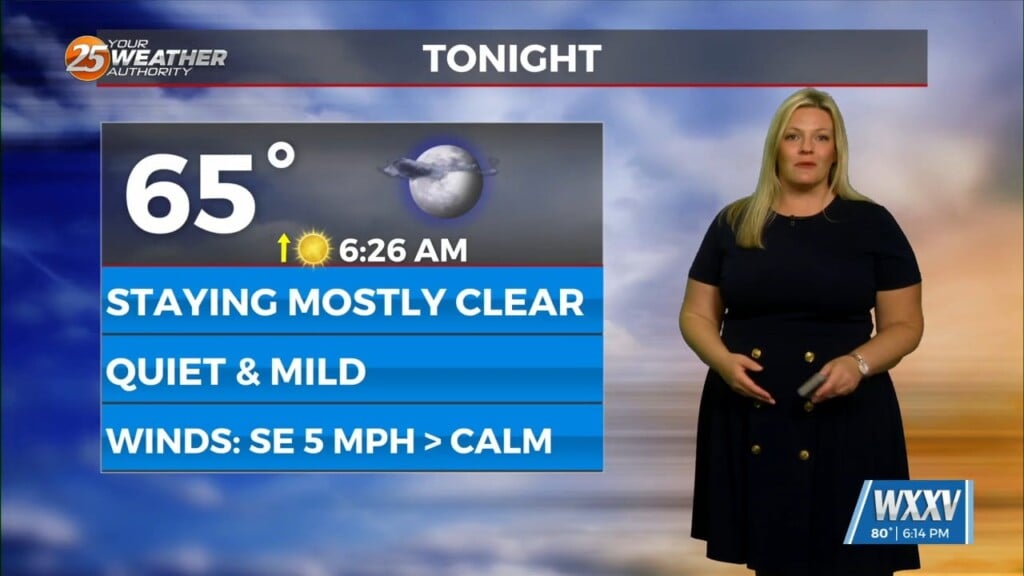
The center of the high will pass to our north on Saturday but the ridge axis will move overhead. The high will continue to progress eastward through the rest of the weekend, eventually retreating off the Mid-Atlantic coast by Sunday night. With the high in control of our regional weather pattern, little cloud cover (aside from some stratocu across SW MS early tomorrow) and quiet weather can be expected this weekend. High temperatures on Saturday (mid 70s) will be a few degrees cooler than today, but that`s still 5-10 degrees above climo. Return flow around the high will promote warmer temperatures on Sunday with a return of lower 80s. Monday through next week… Next week, it will feel like a very summertime pattern. Zonal flow and ridging will dominate the upper level pattern next week. Southerly surface winds will help to advect warm air and moisture into the area. Weak upper level divergence will help enhance lifting in the environment, especially during the afternoons. Isolated to scattered showers will be possible daily during the afternoon hours, especially along the coastal areas. Thunder/lightning will be possible with these storms as well daily. Temperatures were in fairly good consensus in the models, and given we are still 3-5 days out, NBM was left in the temperature forecast with no major changes.


