2/24 – Brittany’s “Foggy” Friday Night Forecast
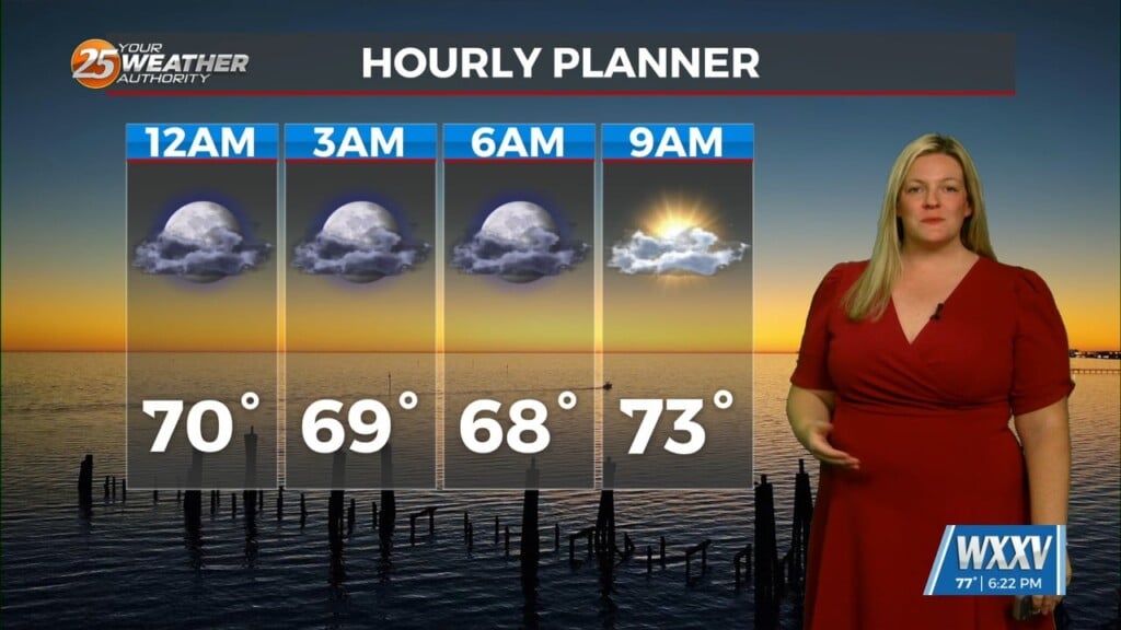
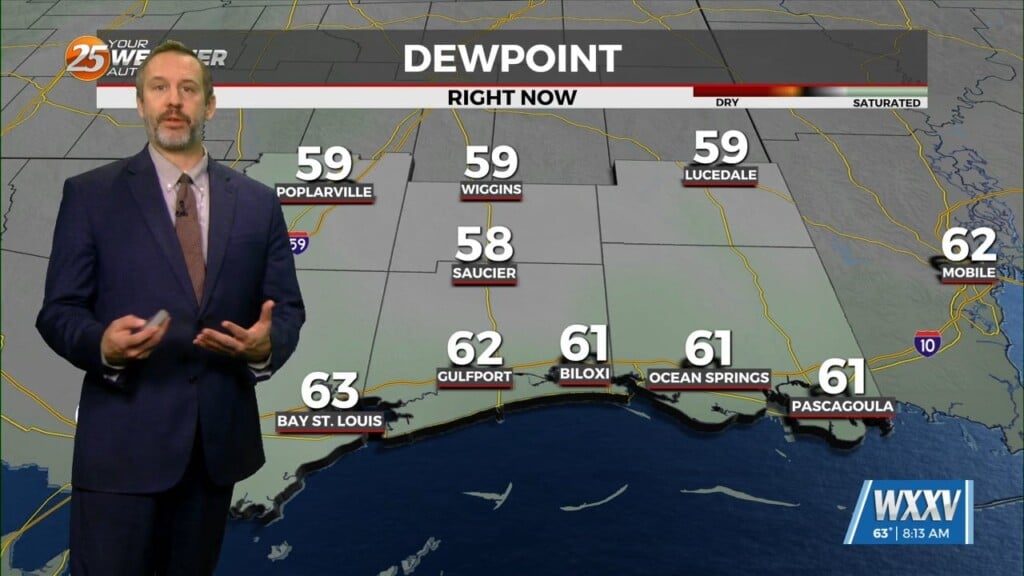
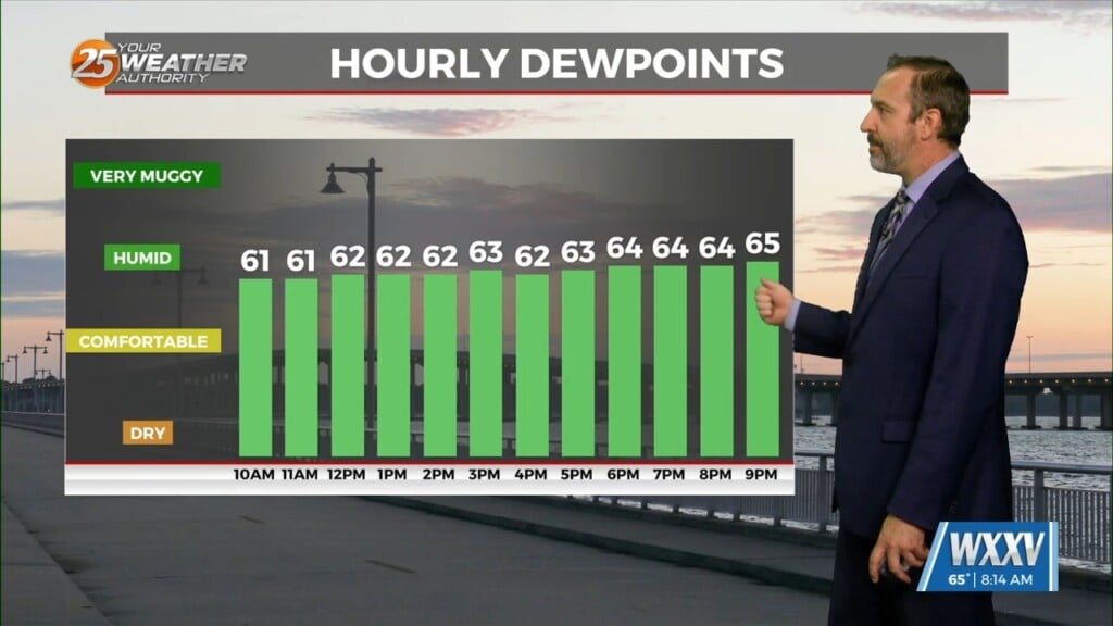
It was definitely another warm one today, even with the amount of cloud cover. As fog the forecast tonight and through the weekend there are mainly just 2 things to discuss, first is the fog tonight and second is the temps but even though we will be warm this weekend it does look like we will be a touch cooler as the stout mid lvl ridge over the eastern Gulf starts to weaken and slide to the southeast. First for tonight, fog. Really no change in the setup over the area and with the same conditions in place there is a good chance that fog starts to develop quickly again over marine areas this evening and then slowly drift in over the coast. Coastal MS will likely start seeing dense fog around 01/02Z. The Northshore could follow soon but much like last night radiational fog is likely to slowly develop overnight farther inland and the two will combine once again. the biggest difference could be that the boundary has stalled now just north of the area and with what looks like little mixing expected the fog could develop a touch farther inland as well with perhaps some patchy dense fog in southwest MS. Radiational fog will quickly burn off after sunrise tomorrow but the marine fog will be a much different story. Like today that will be a slow burn and locations like Pascagoula and gulfport could be dealing with fog through 18z…maybe not quite dense at that time but still around. A Dense fog adv has already been issued for most of the area.
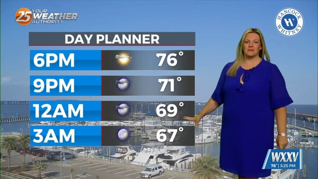
As for temps, yes it will continue to be warm and most of the area will see mid to upper 70s for highs again tomorrow and many locations will see highs in the 80s on Sunday. However, there is a small brief silver lining, the highs may be a degree or two colder tomorrow but it definitely looks like Sunday could bring about highs ranging from the upper 70s to lower 80s. The ridge which has basically controlled everything across the southeastern CONUS the last week will begin to weak early tomorrow. Even though the ridge axis will try to stretch across LA mid lvl heights are expected to slowly fall and by Sunday we could see heights about 8-10dm lowerSunday afternoon from what we have right now. The lowering heights and weakening ridge providing a little less subsidence the LL temps will likely be a degree or two lower from what we have today.


