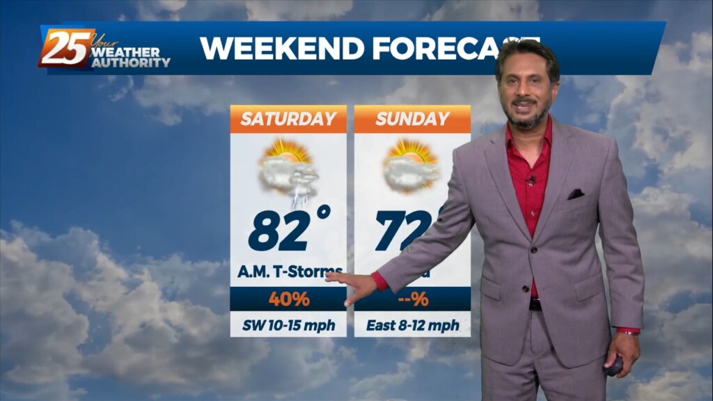
4/7 - The Chief's "Wet Easter Weekend" Friday Afternoon Forecast
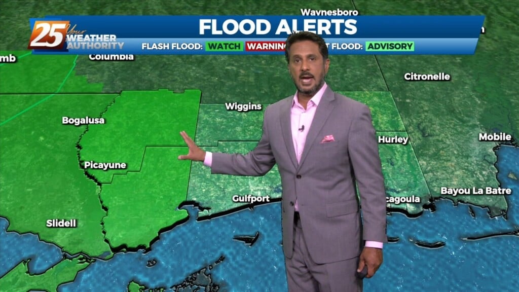
Today, eyes will be focused upstream as a mid-level impulse begins to move near and over the region. This feature along with the surface convergence along…
Today, eyes will be focused upstream as a mid-level impulse begins to move near and over the region. This feature along with the surface convergence along…
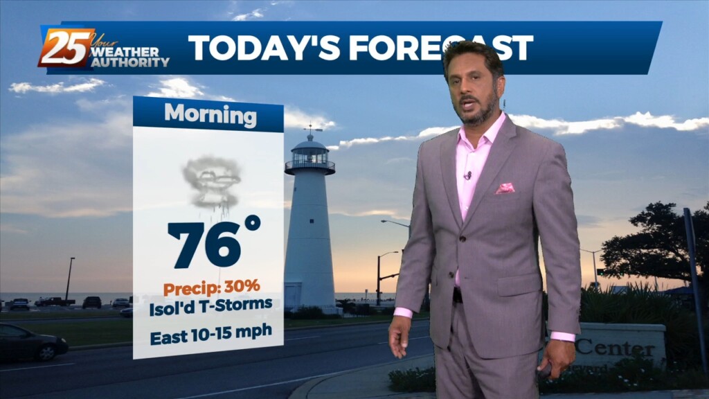
A cold front remains over the forecast area early this morning. Just behind the front, stratiform showers and a few elevated thunderstorms have develop generally along…
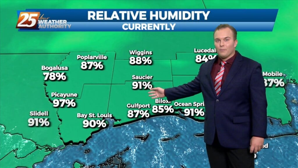
Clouds are increasing this evening and it remains mild across the coast. There will be a 30% chance of showers and thunderstorms overnight. Tomorrow will provide for much…
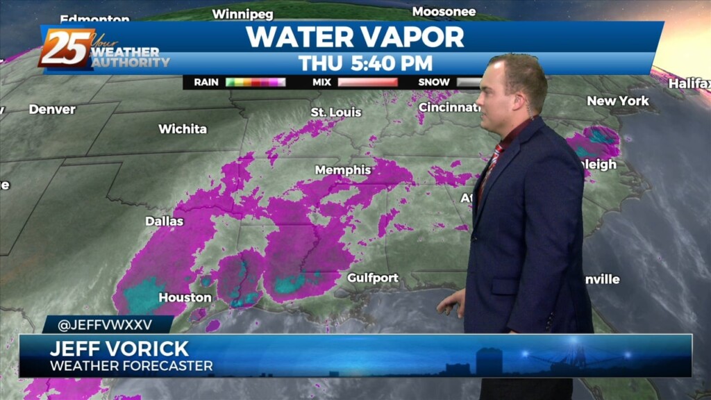
The front has parked itself across our region. Today provided for more direct sunlight and the warmth and humidity continue. Clouds will move back in overnight.…
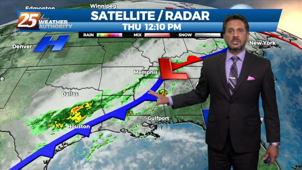
The main story for today will be increased rain chances as what has been mentioned for days now as a front slowly drifts east into our area.…
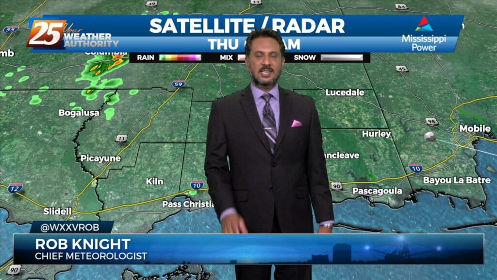
Starting off with early this morning, recent radar trends illustrate some isolated showers developing generally along the I-10 in coastal MS. The main story for today…
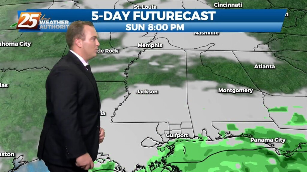
Elevated winds have backed off somewhat this evening. Cloud coverage will continue to build, and lower again overnight. Warm and muggy conditions will be around in the…
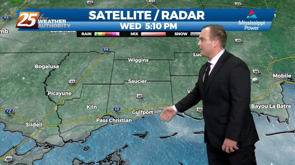
Warm and breezy conditions have been present much of the day with very limited, if any sunshine. Clouds will dissipate slightly this evening only before the clouds…
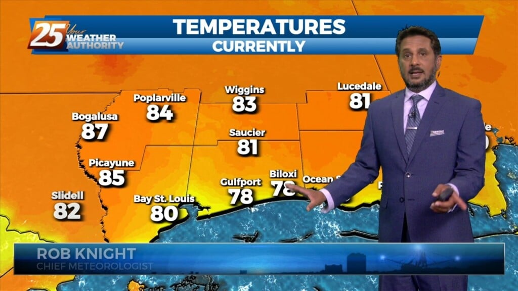
Warm & windy conditions will continue as a cold front to the west has slowed dramatically. This means that just about all of the associated dynamic…
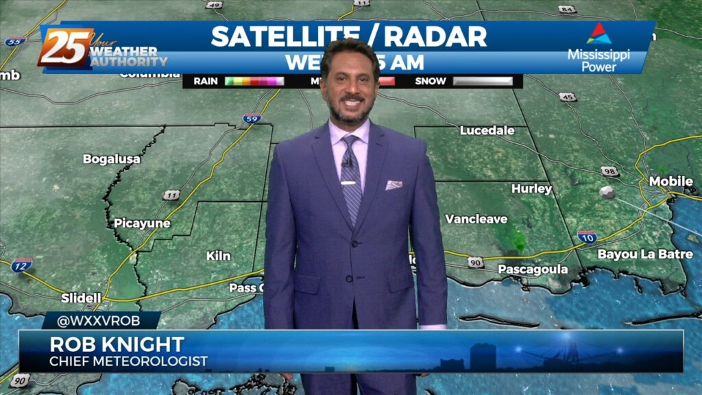
A cold front drapes south into the southern Plains where severe weather is ongoing across the AR/OK/MO region and will continue NE into the Ohio Valley…
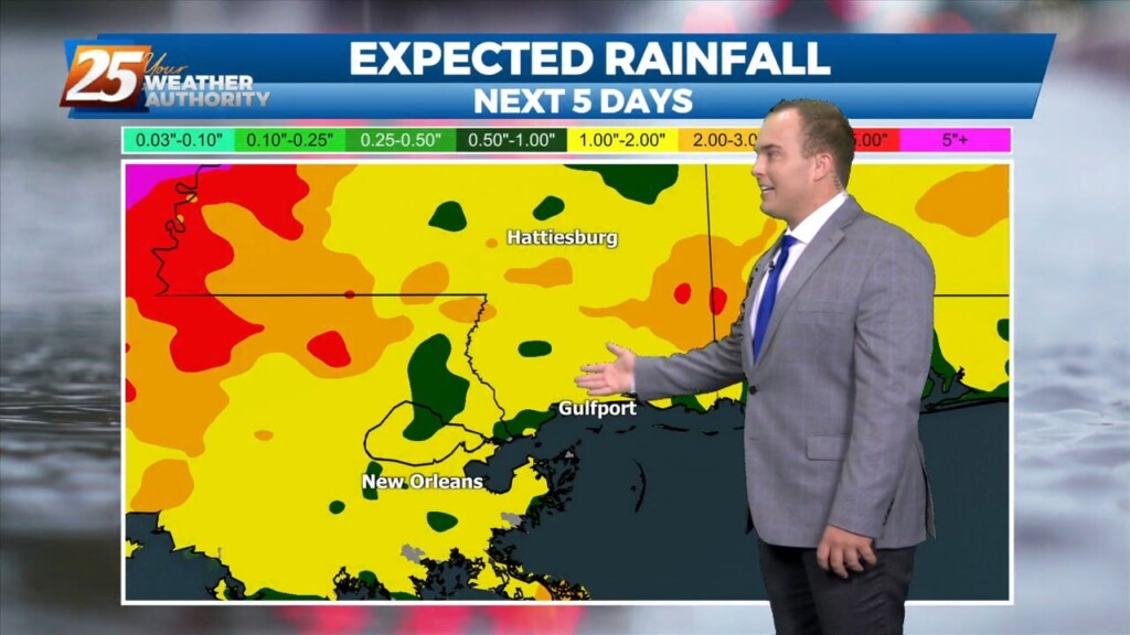
Today will be much like yesterday with clearing skies and very warm temperatures. Overnight, clouds will build back in and light fog is possible. Things begin to…
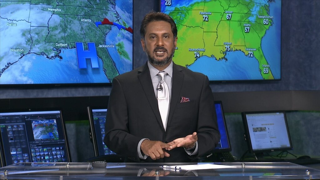
Starting out with early this morning, geez it's a bit muggy! Moist, onshore return flow continues to pump low to mid 70 dew-points well north…
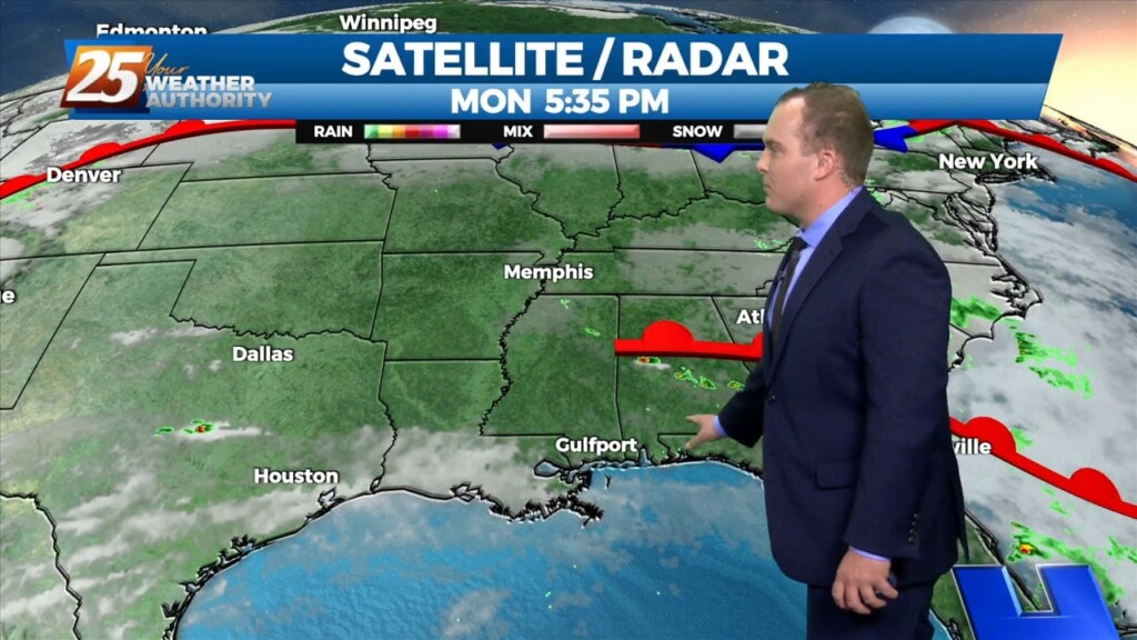
Some direct sunlight allowed for temperatures to warm into the 80s for a lot of the area today. Tonight, abundant moisture in the low-levels will allow for clouds to…
Skies will be clearer this afternoon and temperatures will be quite warm. Very elevated humidity content will be in the picture for the rest of the…
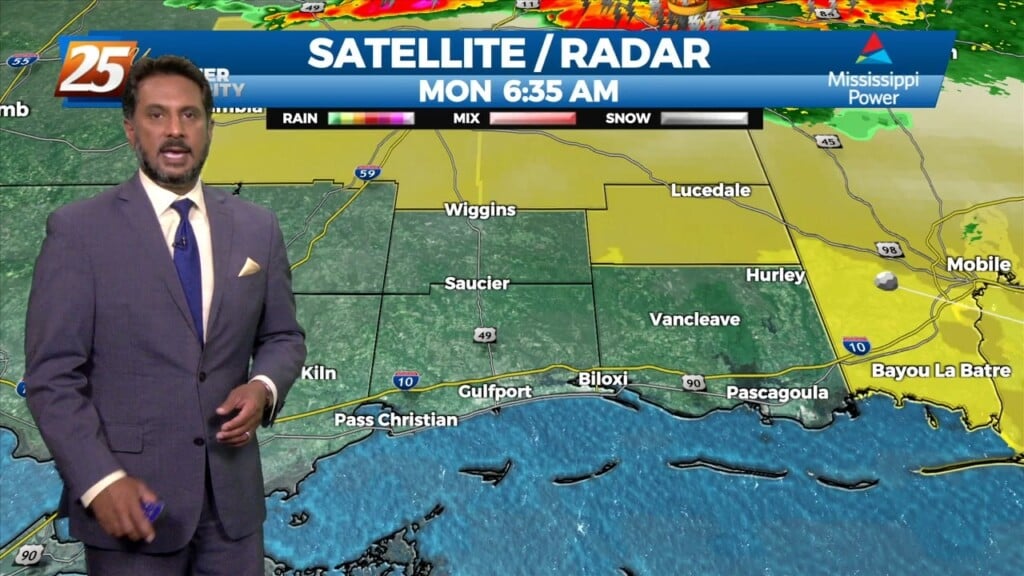
An upper level disturbance Memphis is moving quickly eastward in zonal flow across the southern states. Another strong upper disturbance is moving onshore in the…
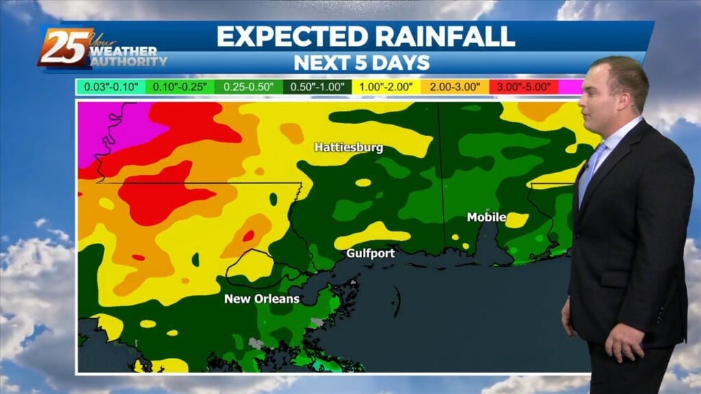
Warm and muggy conditions return overnight as a disturbance in the atmosphere makes its way east. It will provide for scattered thunderstorms overnight and into the first portion…
An upper level trough dropping out of the Rockies will deepen as it tracks across the northern/central Plains today. It`ll continue east through the upper Mississippi Valley and across…
At the surface, high pressure was centered off the Virginia coast. Low pressure was centered over Nebraska with a trailing cold front to west Texas. Moisture…
High pressure covers much of the Gulf of Mexico, extending northward toward the Great Lakes. A deep upper disturbance extends from Montana to the Four Corners area.…
With return flow becoming more established, airmass modification and warming trend will continue tonight with lows a solid 10 to 15 degrees warmer than last night. With low level…
High pressure will continue to move east today with the axis crossing the local area late this afternoon and tonight. This will allow winds to turn…
High pressure was currently located over the Great Plains, with the next in the series of strong storm systems moving across California. At the surface, high…
Starting things out this evening glancing at radar illustrates echoes advancing ESE across portions of the CWA. Observations are far and few between reporting -RA but some of this…
Starting things out this evening glancing at radar illustrates echoes advancing ESE across portions of the CWA. Observations are far and few between reporting -RA but some of this…