7/25 - Rob's "Perfect" Thursday Morning Forecast
One final day of beautiful weather before things return to normal.
One final day of beautiful weather before things return to normal.
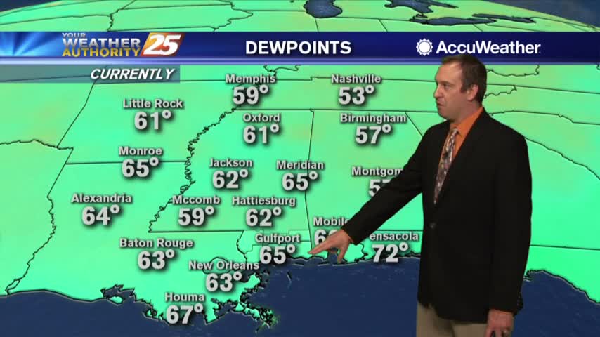
No rain today and none expected for the rest of the week, but the rain and humidity return for the weekend....
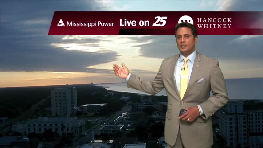
An ABSOLUTE GORGEOUS start to the day as a cold front is south with low humidity in the region/area...
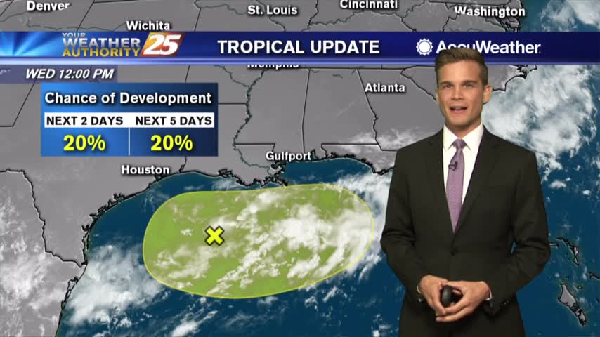
A perfect day! Won't last for long though and we're keeping an eye on the tropics.
Yesterday's front brought rain and clouds, but today they're a distant memory!
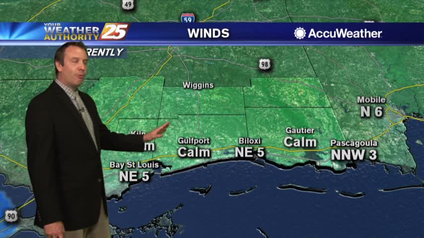
Plenty of rain today, but don't expect much more for the rest of the week....
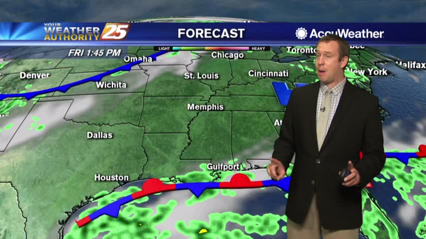
The cold front may have brought rainy weather today, but it's also bringing some drier weather for the days ahead....
Cold front brings rain then drier air...could also stir up the tropics later this week. More details here.
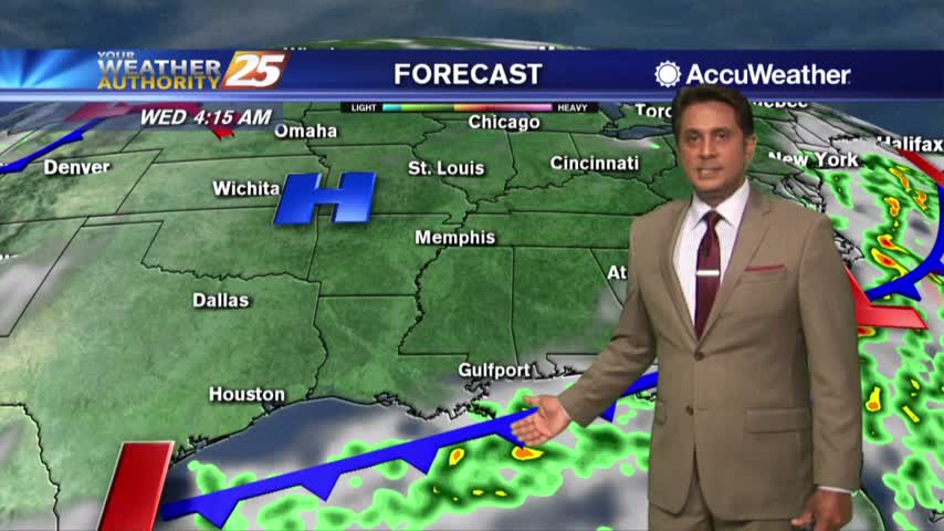
Heavy rain Tuesday afternoon...drier and sunny by Wednesday.
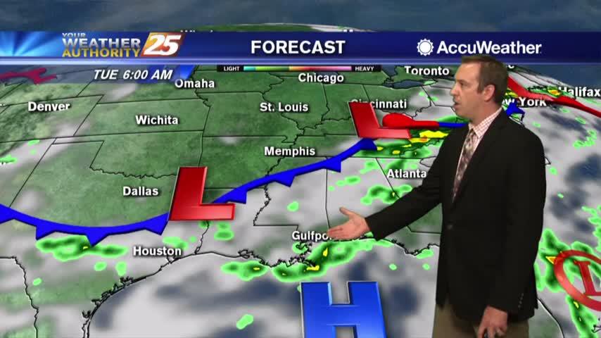
Today started stormy, cleared, and then saw the rain return and more is expected tomorrow!
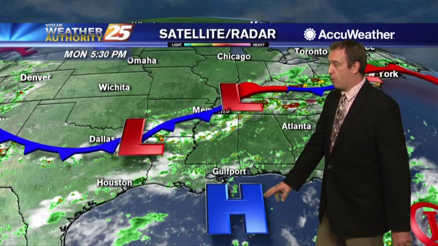
The weather couldn't make up its mind today as we started with rain and saw it clear just to come back in the evening....
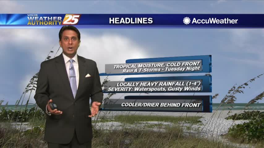
Temperatures are a bit cooler this afternoon due to cloud coverage and spotty rainfall...
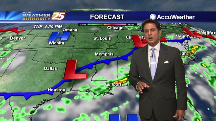
As the tropical moisture continues to flow into the area, spotty rain is moving north through south Mississippi...
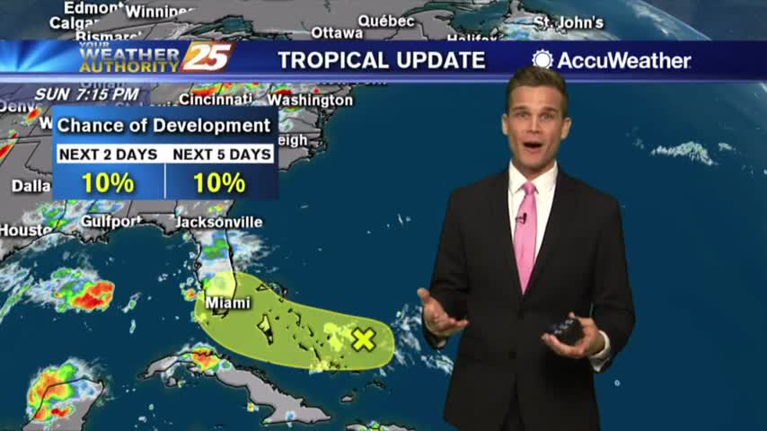
A July "cold" front will help out with the humidity later this week and an update on the tropics.
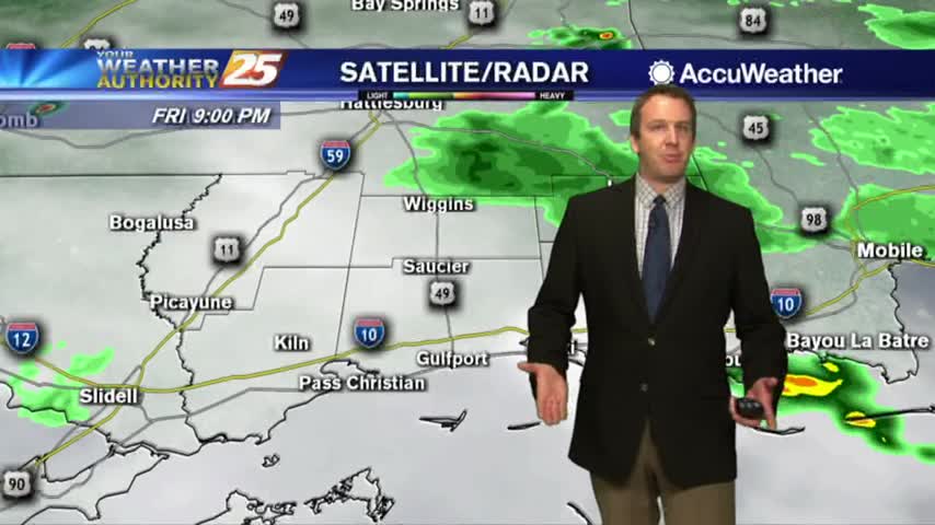
Not too much rain today, but much more is expected over the weekend....
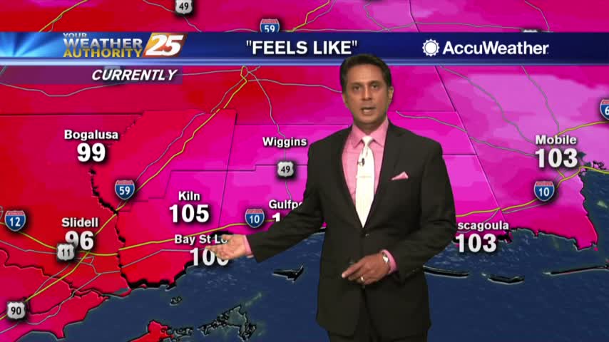
HOT temperatures this afternoon as the HEAT INDEX will average 104 degrees, please be safe...
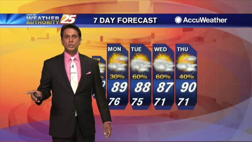
A warm start with upper-level clouds moving across the area from east to west...
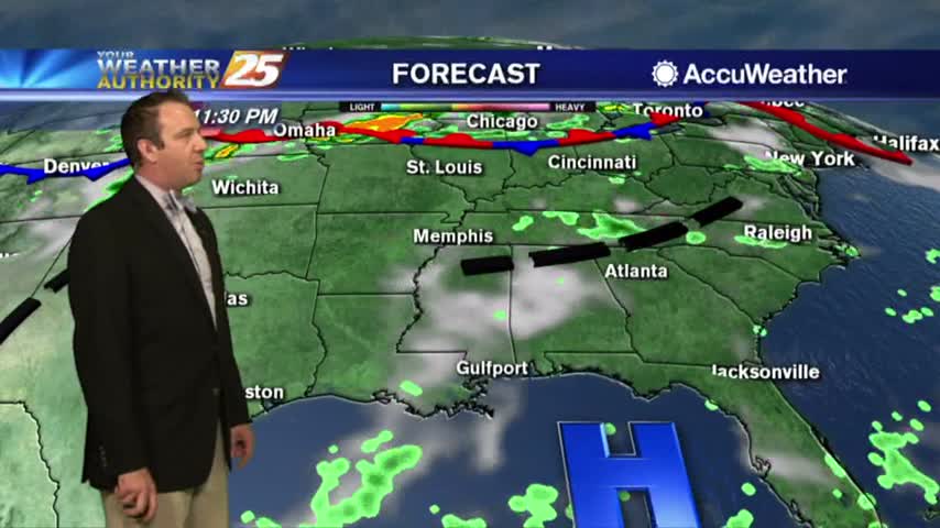
Another drier day today, but more rain is on the way....
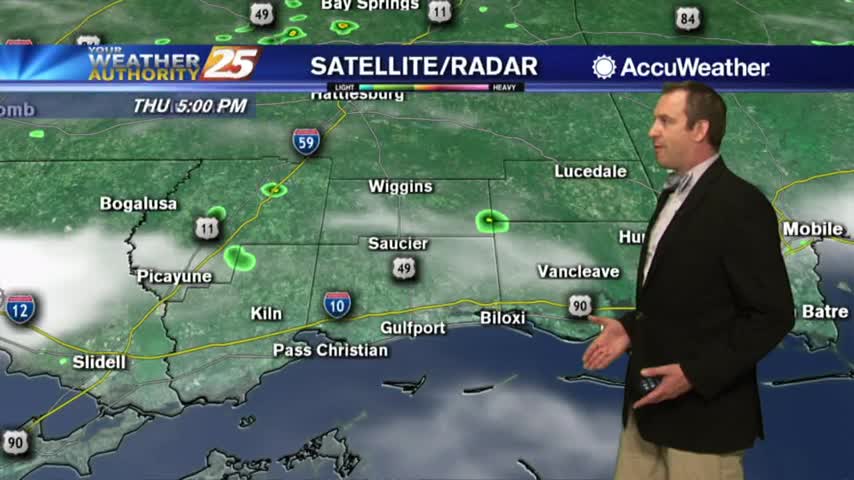
Another drier day out there today, but more rainy days are coming....
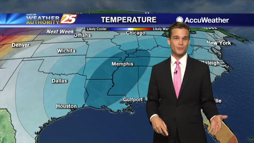
Be careful in the heat...some relief possible next week.
Heat index values over 100 this afternoon.
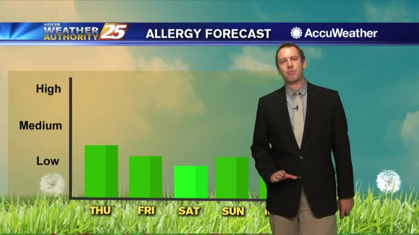
More sunny weather today without rain, but it won't stay away for much longer....
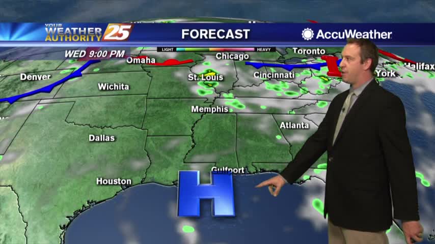
More nice weather today with many more similar days ahead....
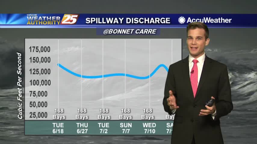
Heat index values over 100 and low rain chances...and an update on the Bonnet Carre Spillway