7/17 - Rob's "Drier" Wednesday Morning Forecast
The heat will be with us for several days and heat index values will rise to around 105 each day.
The heat will be with us for several days and heat index values will rise to around 105 each day.
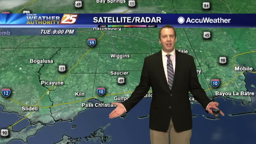
Barry is gone and so now our usual summertime pattern continues....
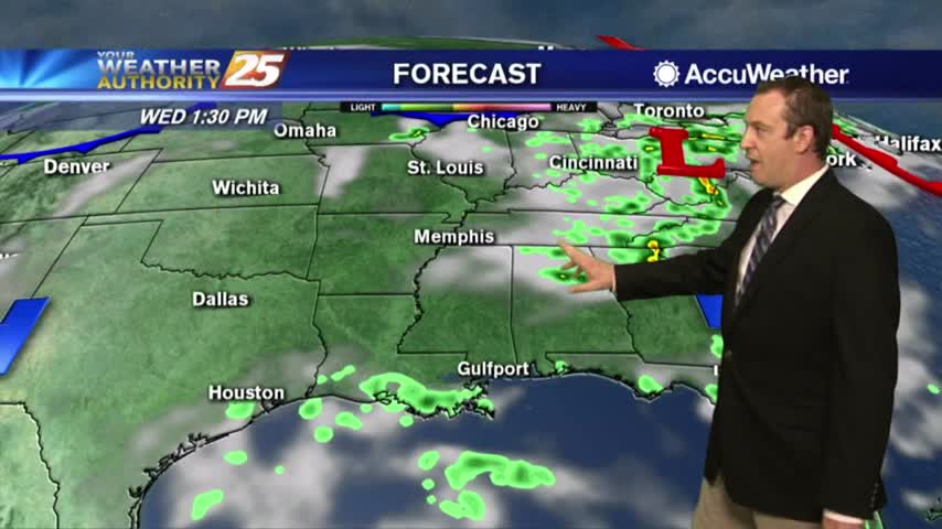
Hurricane Barry came and went, so now we're getting back to normal....
The sunshine is back and it's hot and humid
Starting off with some sunshine this morning!
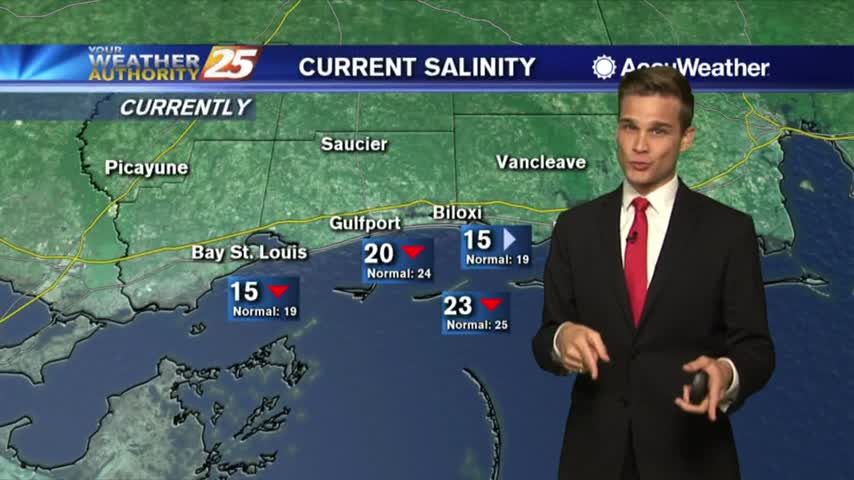
A few downpours tonight with more downpours possible on Tuesday. Update on Salinity levels.
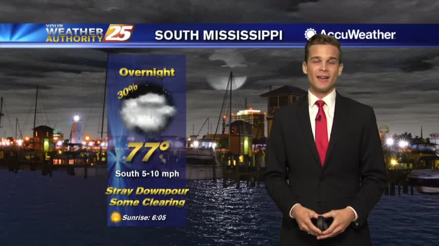
Tuesday will feature more sunshine with a few downpours possible throughout the day.

Rain has tapered-off significantly but a few showers will continue through tonight...
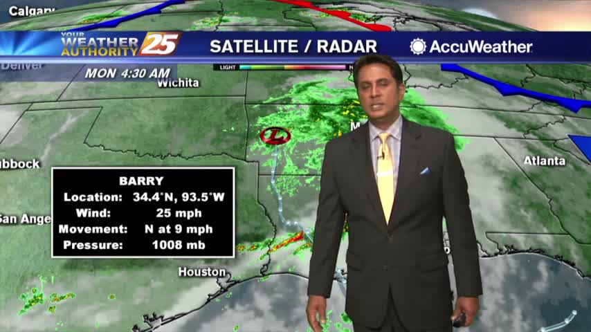
A wet start as bands of rain continues to move into the area from the Gulf of Mexico...
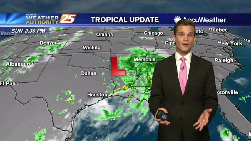
Barry moves out of the area, but rain chances continue
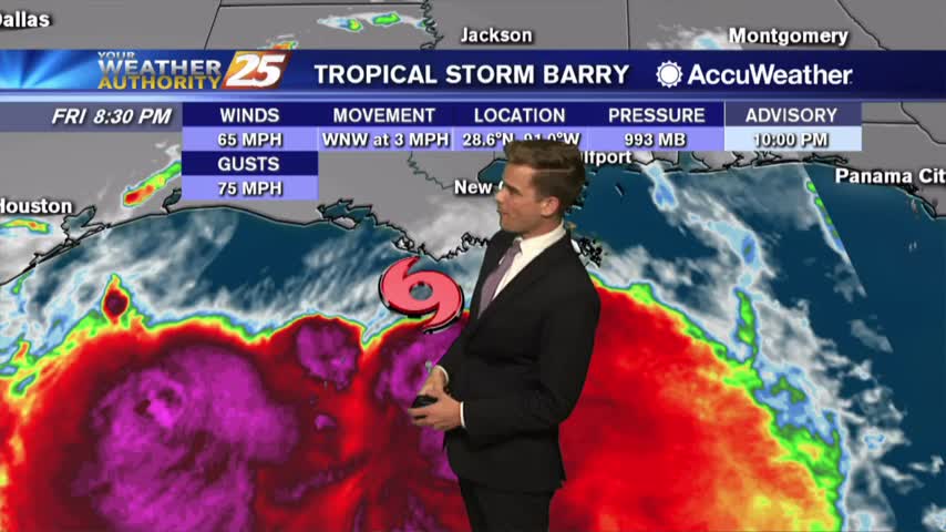
10 PM Tropical Storm Barry Update
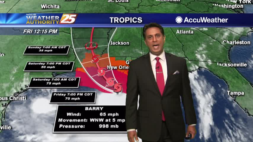
The latest on Tropical Storm Barry as it approaches Louisiana
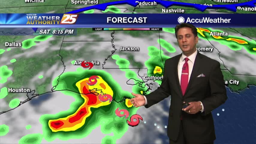
Rain band continue to move across the area as TS Barry heads towards the central Louisiana coast...
A warm, humid and cloudy start with isolated showers moving in from the SW...
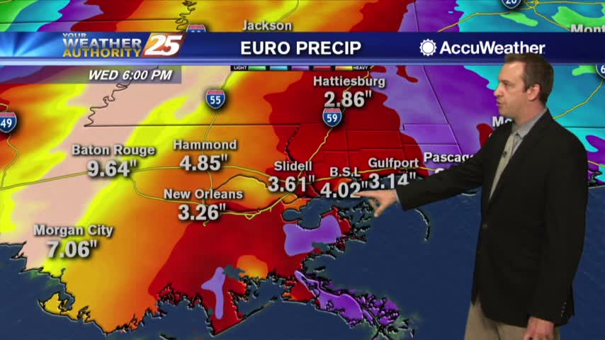
Expect more rain in the days ahead as Tropical Storm Barry continues to strengthen....
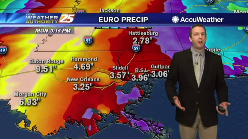
Tropical Storm Barry formed this morning and will continue to develop in the days ahead. The local impact...?
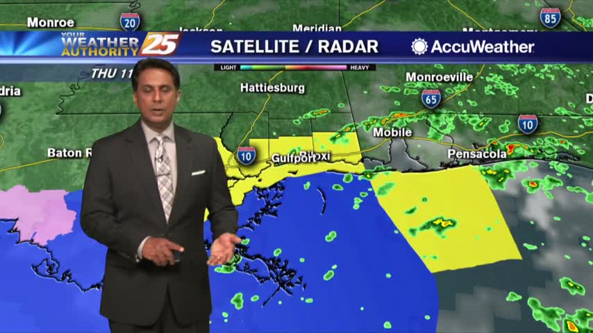
As of 10 a.m. this morning, the area of low pressure in the north-central Gulf of Mexico has been upgraded to TROPICAL STORM BARRY...
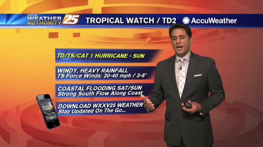
A cloudy start to the day as potential tropical cyclone #2 continues to develop roughly 200 miles south of Mobile bay...
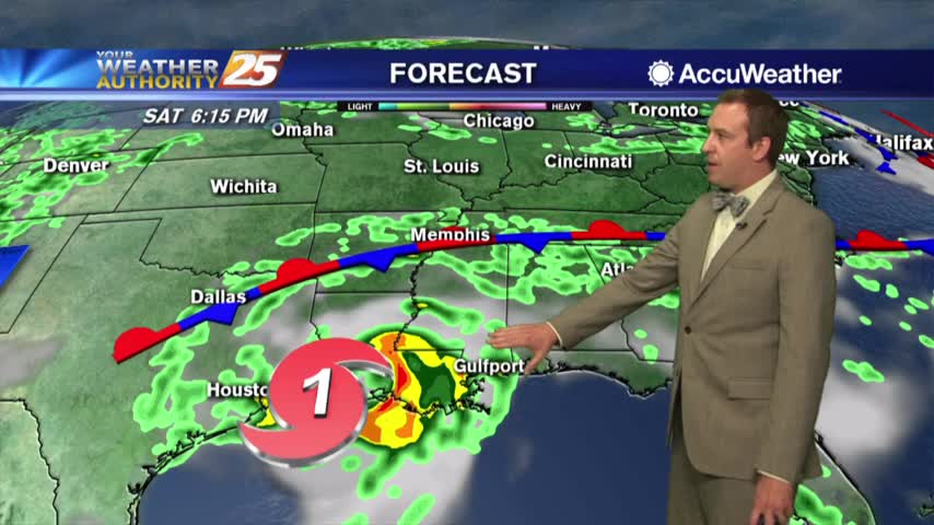
More afternoon storms today, but expect them to become more frequent and organized in the days ahead....
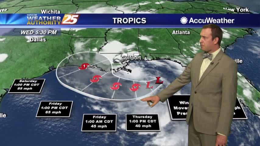
Active afternoon storms moved across South MS again, but all eyes are on the developing tropical system in the Gulf....
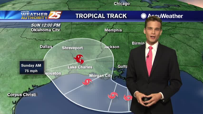
The latest on the potential for tropical impacts.
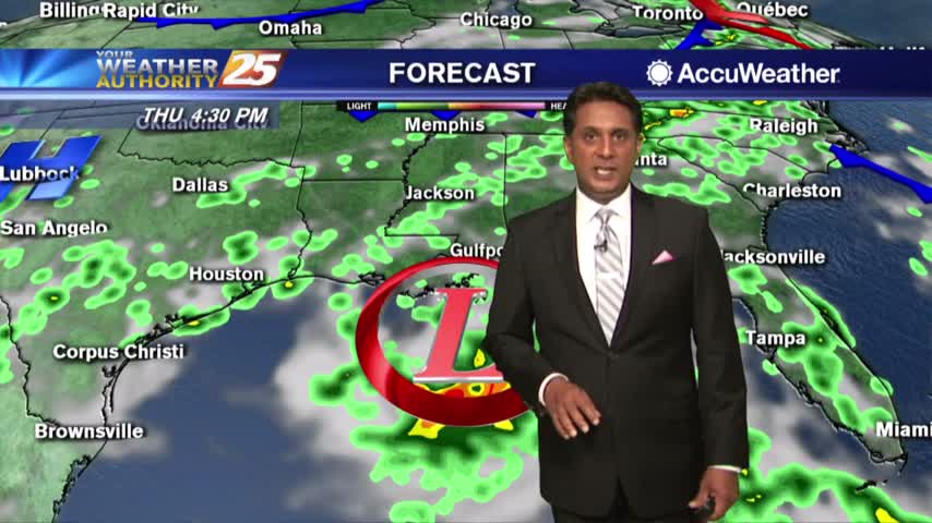
The latest on the potential for tropical impacts in South Mississippi
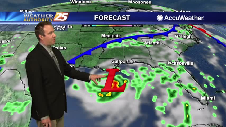
Severe warned storms moved in to finish off the day, and we'll see even more rainy days ahead....
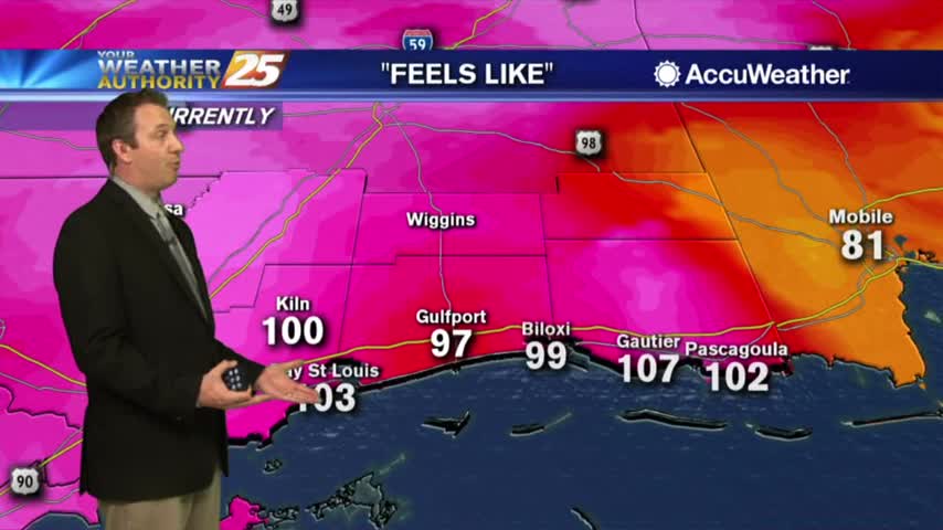
A few thunderstorms moved in as the evening began to wind down and much more rain is in the near future....