8/2 - Rob's 1st Weekend Of August "Midday News" Forecast
Warming temperatures with isolated showers/t-storms beginning to pop across the viewing area...
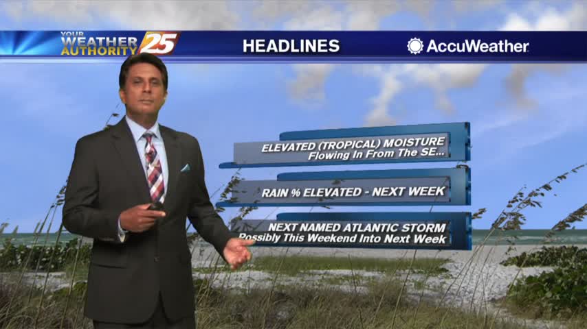
Warming temperatures with isolated showers/t-storms beginning to pop across the viewing area...
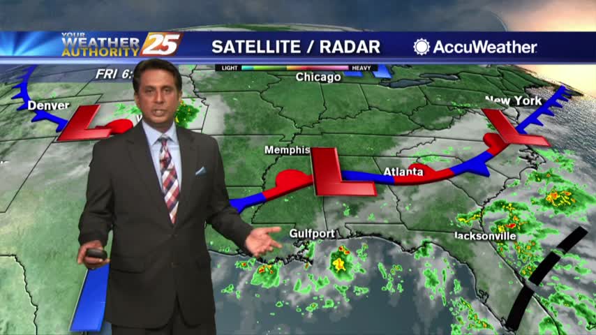
A warm start to the day with scattered showers and t-storms in the N'tern Gulf of Mexico...
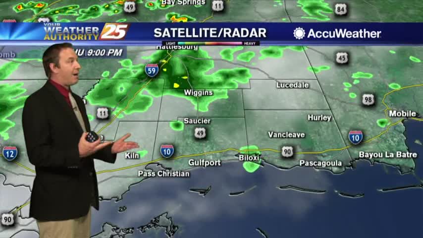
More afternoon rain on an otherwise sunny day, something we'll see more of ahead....
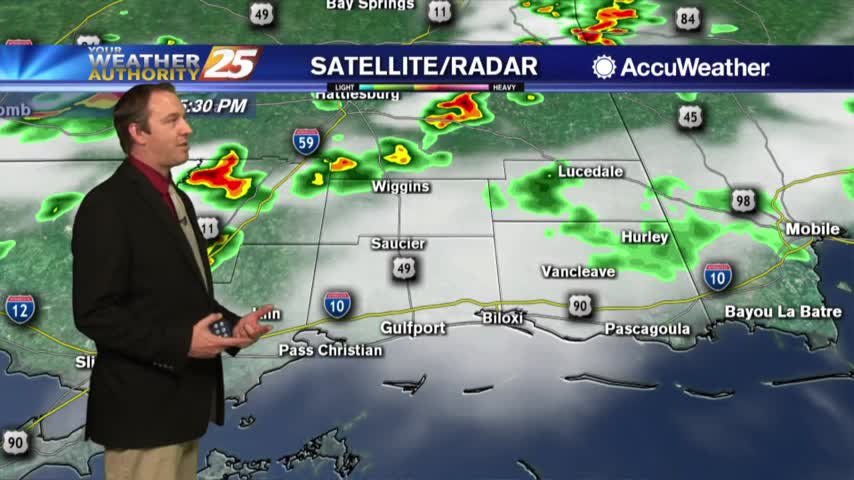
Scattered afternoon showers return again today...tomorrow...the next day...and the next...
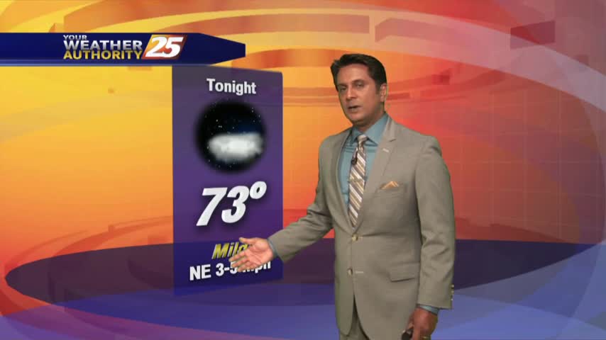
Temperatures are climbing into the upper 80s as spotty showers develop south and north of the area...
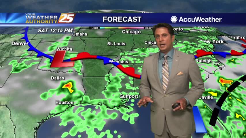
Another warm start to the day but a north wind is making it feel quite tolerable...
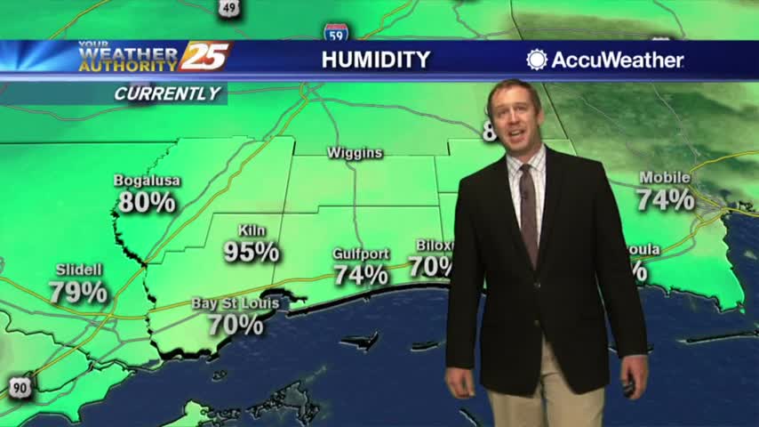
More consistently beautiful weather ahead, but we won't be free of the rain completely....
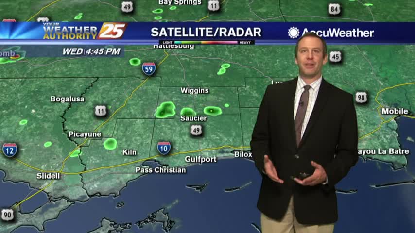
Today was another typical South MS summer day, and we're expecting many more ahead....
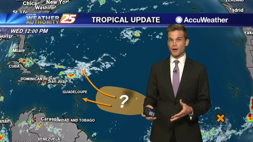
Could we have our next named storm by next week? The latest here.
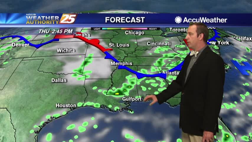
Expect more of the same in the days ahead with afternoon rain breaking up sunny and humid days....
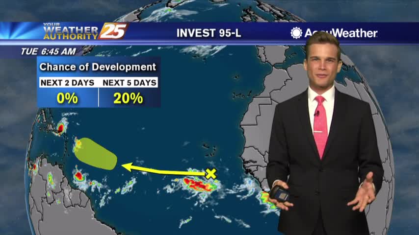
Rain possible this afternoon, and the latest on the tropics.
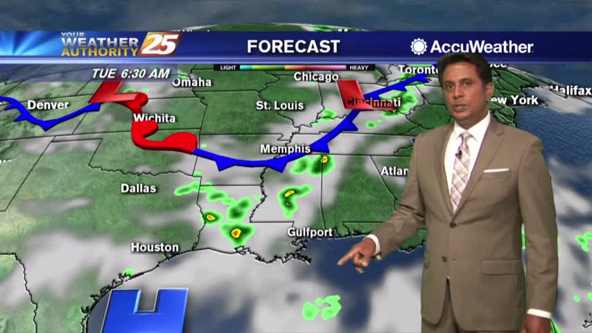
A few showers and t-storms possible this afternoon.
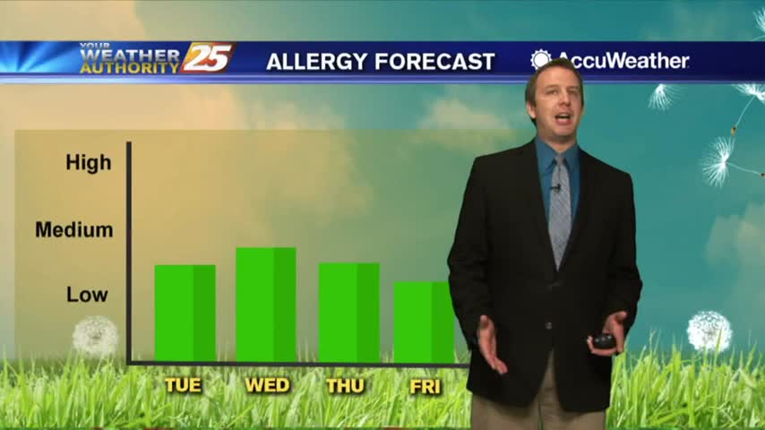
More manageable heat and humidity today, with little change expected in the days ahead....
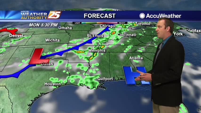
The week began beautifully after a sunny weekend, and more of the same is expected in the days ahead....
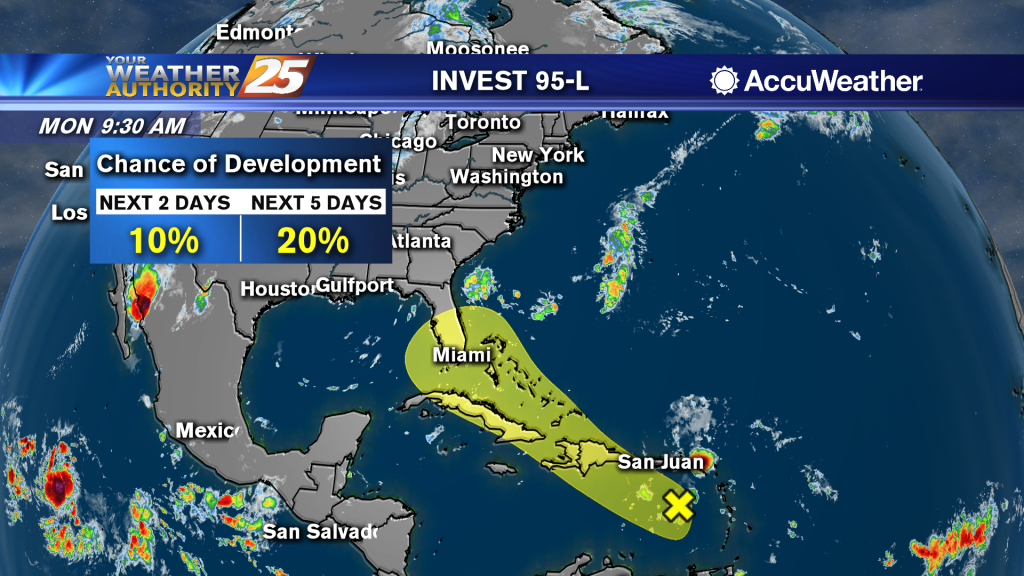
Popup t-storms possible this week...and the latest on the tropics.
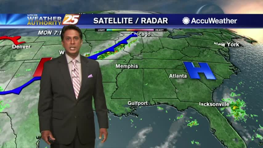
Monday looking mostly sunny and hot.
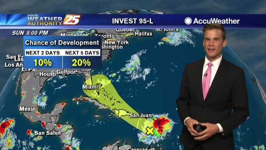
Just in time for August the tropics are heating up...here's the latest.
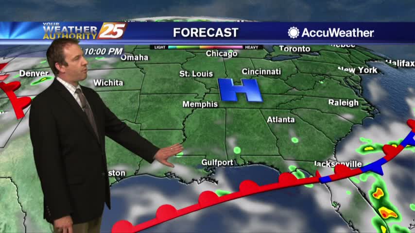
It was a little hotter and more humid today, a trend that'll continue through the weekend....
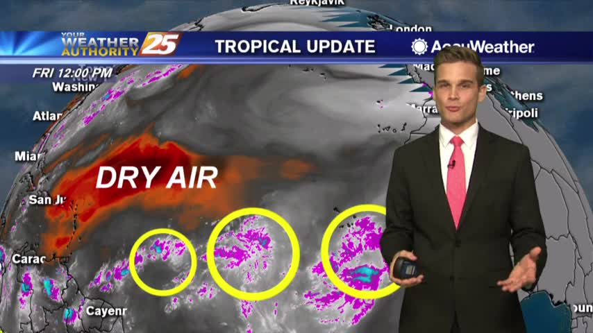
Heat and humidity are about to return and the latest on the tropics.
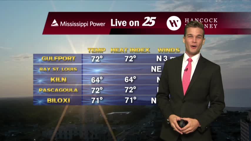
One final day of decent weather before we get back to heat and humidity.
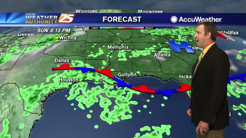
More sunny, drier weather today but it sadly can't last forever....
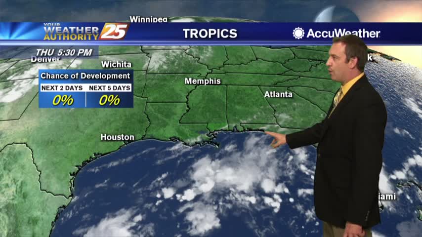
More sunshine today, but the clouds and rain return fairly soon....
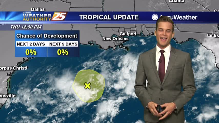
The amazing weather continues...rain isn't far off.
One final day of beautiful weather before things return to normal.