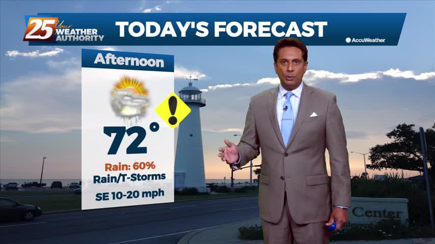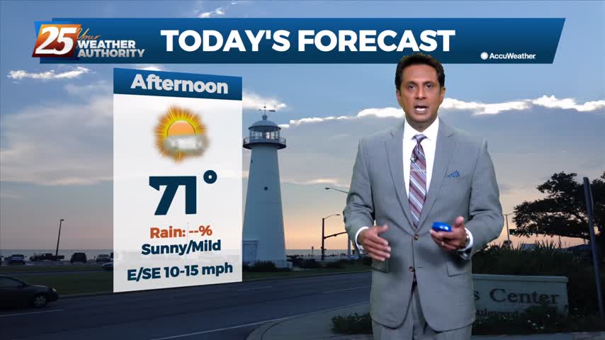
03/31 – Brantly's "Warm, Humid, and Stormy" Wednesday Forecast
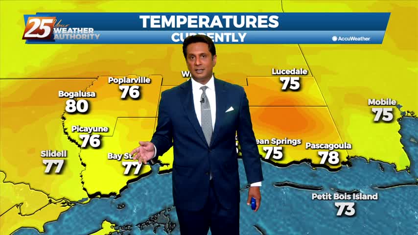
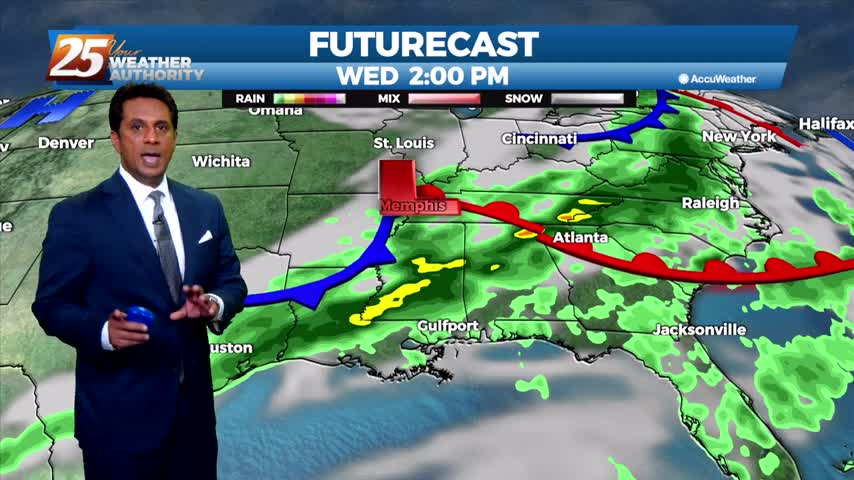
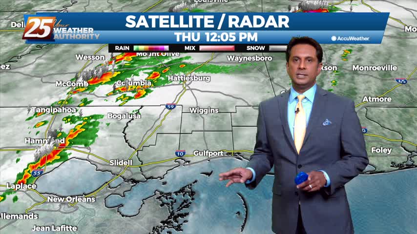
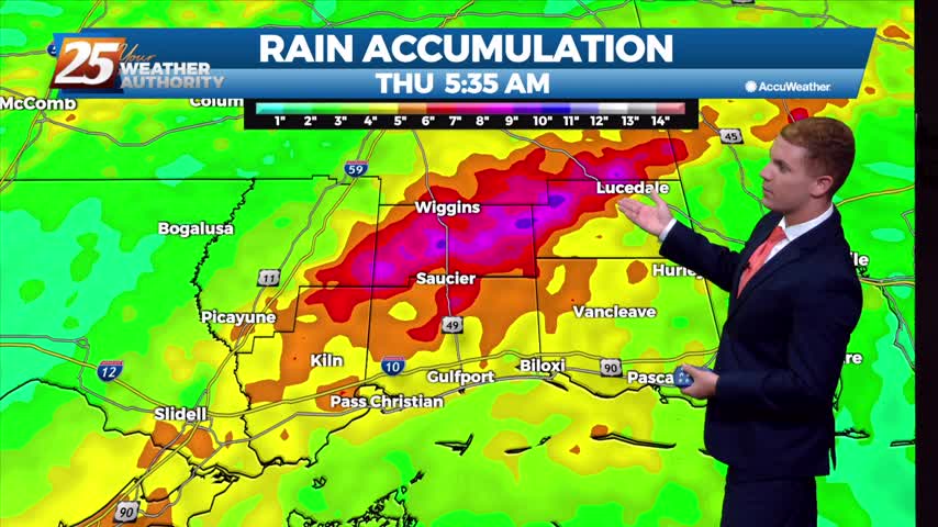
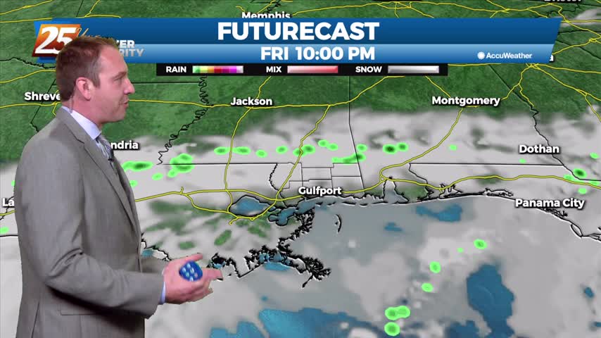
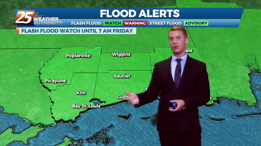
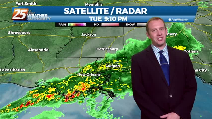
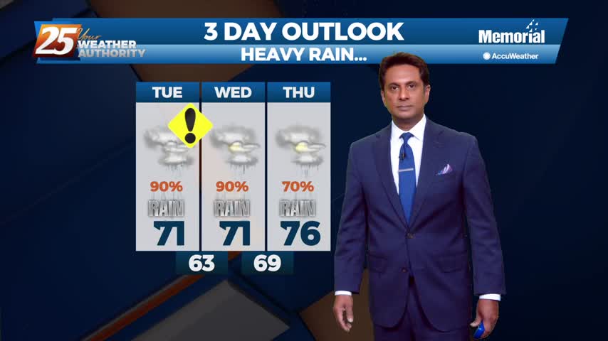
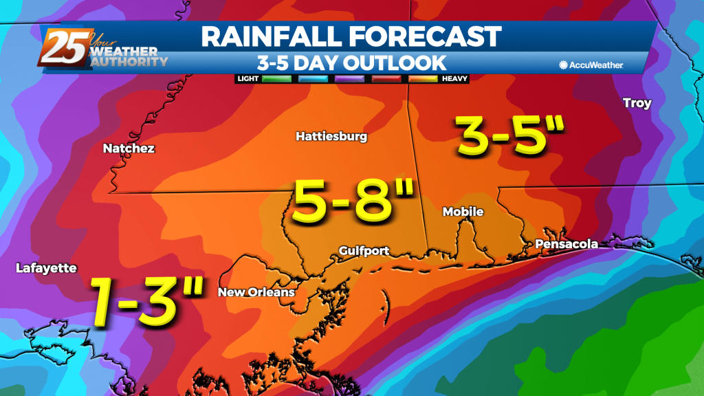
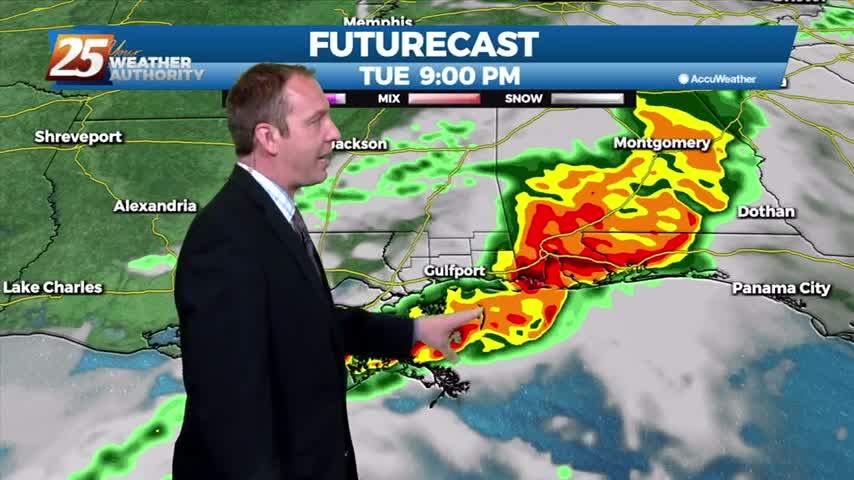
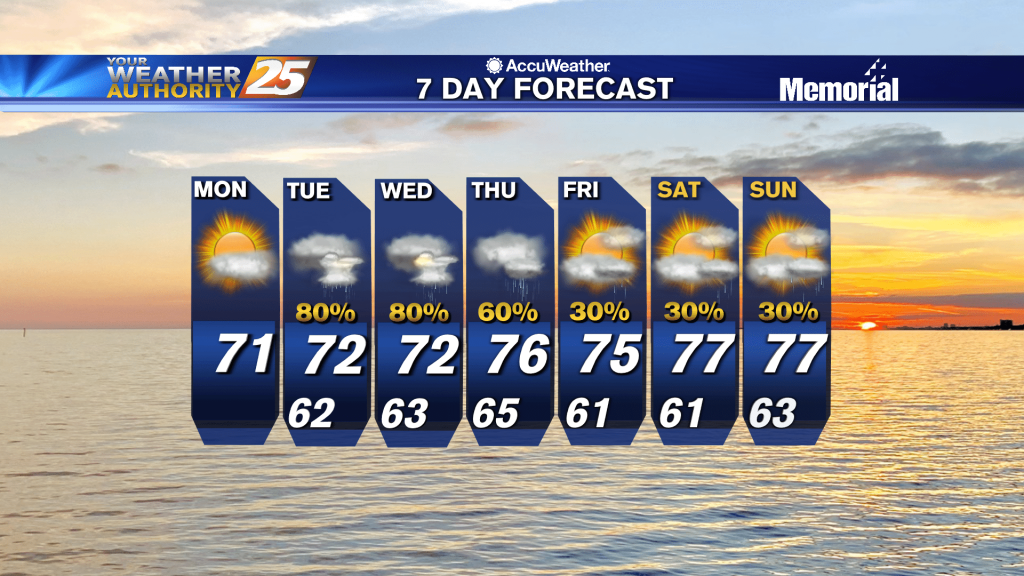
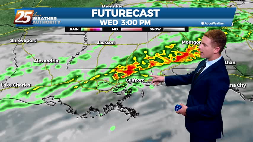
A powerful cold front moving through the area today will bring more showers and possibly a few thunderstorms. The latest Storm Prediction Center outlook has our area at a Slight Risk for most Southeast Louisiana parishes and Mississippi coastal counties.…