3/15 – The Chief’s “Sunny & Cool” Mid-Week Morning Forecast
An upper level impulse continues to move downstream this morning after producing some light shower activity overnight. Today will be a transitional day for the region as high pressure remain in control of the region and a cold front to the west begins to take form.
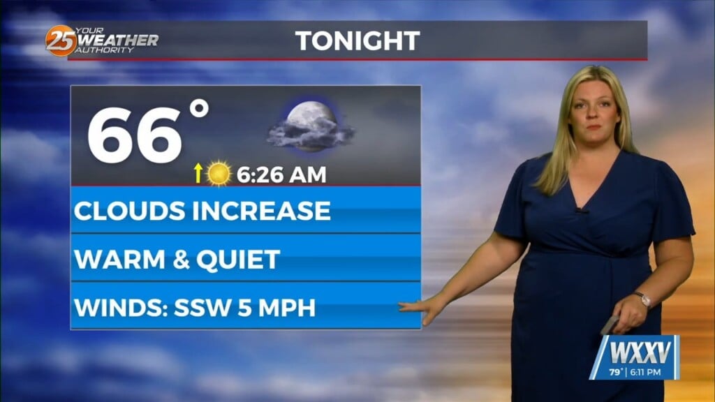
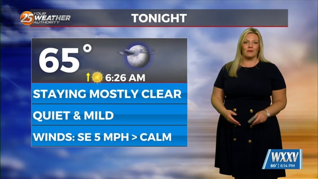
Tonight, high pressure will continue to move east allowing for a surface return flow to develop across the region. This will allow low level moisture to gradually increase and should also help keep the overnight temps a bit warmer as well. On Thursday, southerly return flow will continue and start to strengthen ahead of the long term system. Overall, a gradual increase in clouds will occur by the end of the period. Otherwise, a continued warming trend will be the primary story to round out the short term.
A strong upper level disturbance will begin to amplify and move toward our region Thursday night and into the day on Friday (along with a strong surface front). With slightly better moisture and surface heating, the line of convection ongoing upstream will have a slightly better potential for damaging wind gusts Friday. With the line of showers and storms, heavy rain will also be possible where most of the area will likely see 1-2″ perhaps locally more especially if the upper levels tend to lag a bit and the front isn’t forced through quickly.
After the frontal passage, brisk northerly winds develop and strong cold air advection takes place. Temperatures should drop roughly 10 degrees or so at least below seasonal average as a Canadian airmass settles into the region this weekend. Still not forecasting freezing conditions this weekend or early next week, but frost may be possible north of the I-10 corridor. That said, surface winds will be key to forecast overnight lows and frost potential. At this juncture, surface winds may be just high enough to limit both.


