3/15 – Brittany’s “Cold & Clear” Wednesday Night Forecast
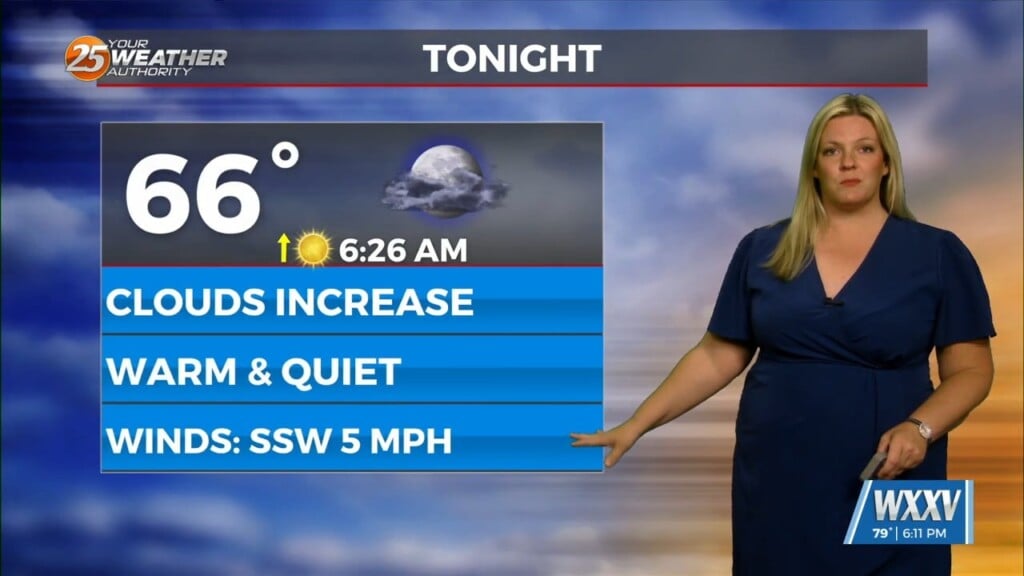
Surface high pressure and an upper level ridge are sliding to the east primarily bringing a shift in wind direction through southeasterly and ending up southerly and around 10 to 15 kt by tomorrow afternoon. This is ahead of an approaching cold front that is associated with an upper level low in the upper Great Plains into Canada. Temperatures will warm some from today with highs on Friday in the 70s, some places approaching 80. Enjoy clear skies until the effects of the front begin to be felt late Thursday night with increasing cloudiness.
The front will be approaching us from the northwest early Friday morning. The impacts of the front in the form of severe weather will be moving into the area on Friday morning and exiting the area Friday night. Regarding the impacts generally, SPC has a MARGINAL outlook just clipping our far northwest area late Thursday night into early Saturday morning and this progresses to a MRGNL on the northwest half of our area and a SLIGHT on the SE half for Friday during the day into the evening. Specifically, the front will take the form of a QLCS with damaging winds the most likely threat, but with some weak rotations/tornadoes a possibility. Also, we are looking at rainfall on the order of 1 to 1.5 inches with the possibility of localized amounts of around 2.5 inches. These rains are not likely to cause a threat of flash flooding, however 2.5 inches falling at a high rate in just the right urban location does have the potential.
When the front passes, we will see another shift in the winds coming out of the north bringing cold air back into the picture. The temperatures will fall back down to a good ten degrees below normal.


