3/17 – Brittany’s “Wet End To The Workweek” Friday Evening Forecast
Cold front has cleared pretty much all land areas in Louisiana and Mississippi and continues to push eastward through the coastal waters. A broad band of light to moderate showers is still affecting southern Mississippi with spottier showers across southeastern Louisiana. These showers will continue to progress eastward as well and the vast majority of the land area should be rain-free by sunset.
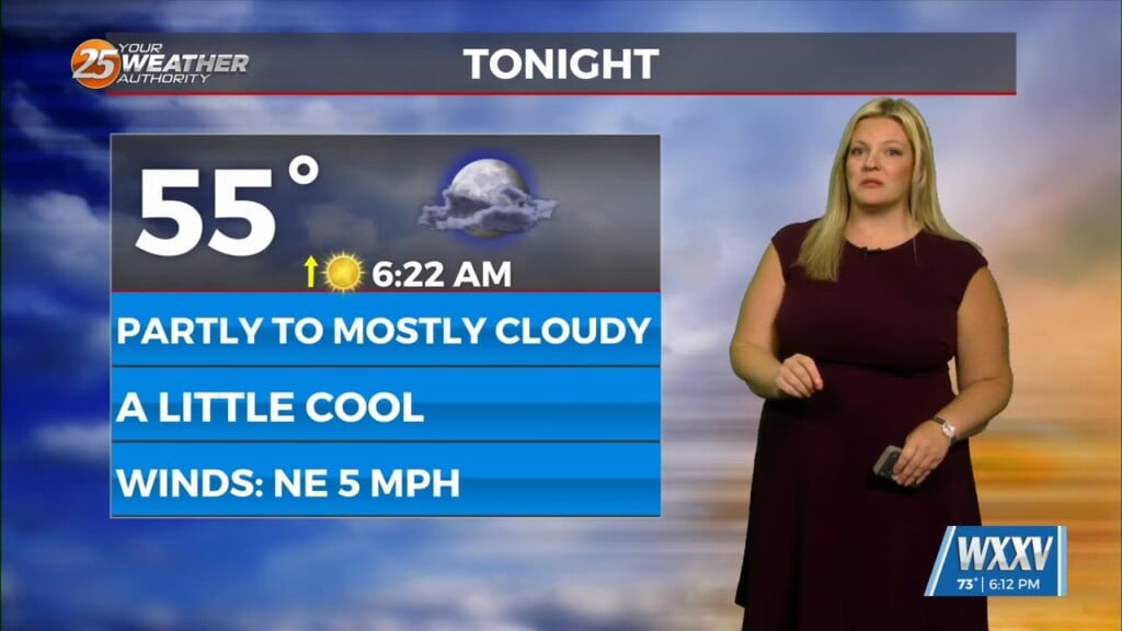
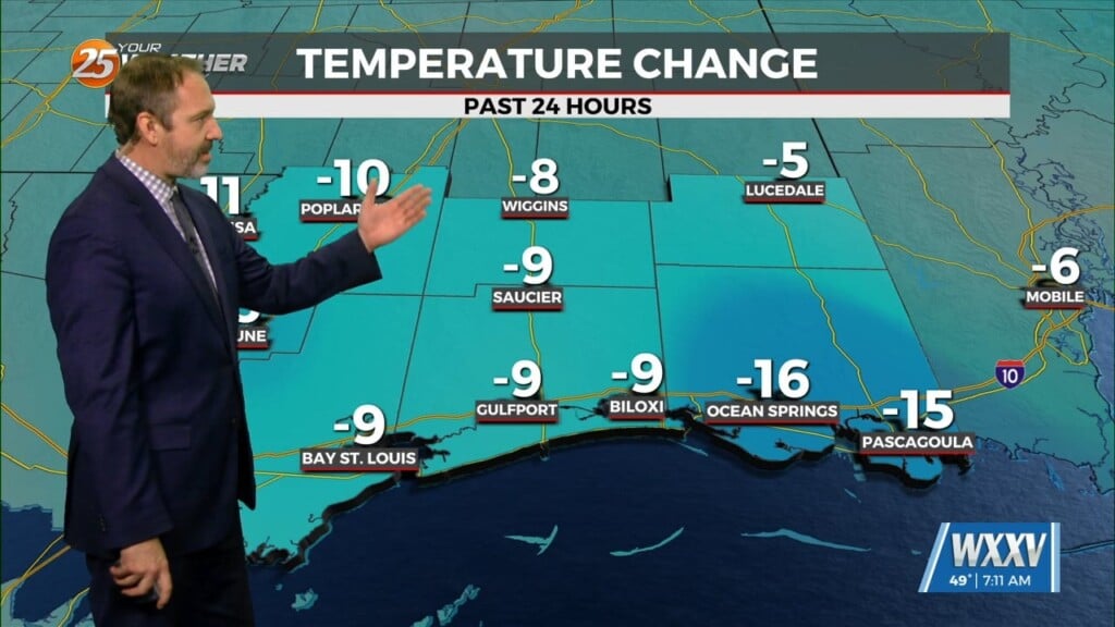
Cold air has started to move into the area already with temperatures generally sitting in the lower 50s from Baton Rouge to McComb and northwestward as of 3pm. Cooling overnight will be almost solely driven by cold air advection as winds will generally remain 10 mph or higher and skies will remain overcast. Expect lows to fall into the upper 30s and lower 40s north and into the mid to upper 40s south. Overcast skies will persist with continued cold air advection on Saturday leading to a rather dreary day and afternoon highs will struggle to rise much above 50 in some places.
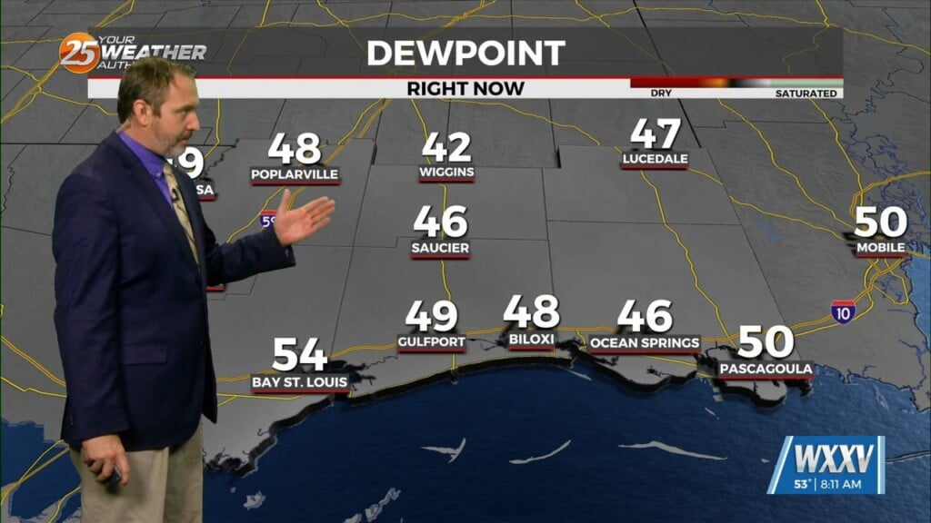
Saturday night continues to be a question mark with regards to overnight temperatures. Still looks like a secondary shot of cold air will move in and this will keep surface winds up a bit, especially during the second half of the night, limiting the radiational component to the overnight cooling. Temps generally rebound into the 50s during the day Sunday except for far northern areas where it may top out in the upper 40s. Then Sunday night is the cold show. Winds will finally start to relax as the high settles in. NBM surface winds appear too high over land areas, and have adjusted them down slightly though they may need to be adjusted further with future updates. Am currently carrying 5-7 mph overnight, but MOS guidance is closer to 2-3 for most areas outside of the south shore. Skies will also be clear and dewpoints will be in the 20s most places. This should allow for efficient radiative cooling and the vast majority of guidance continues to indicate widespread freezing conditions across the northern 1/2 to 1/3 of the area.


