3/13 – Jeff’s “Cool & Windy” Monday Afternoon Forecast
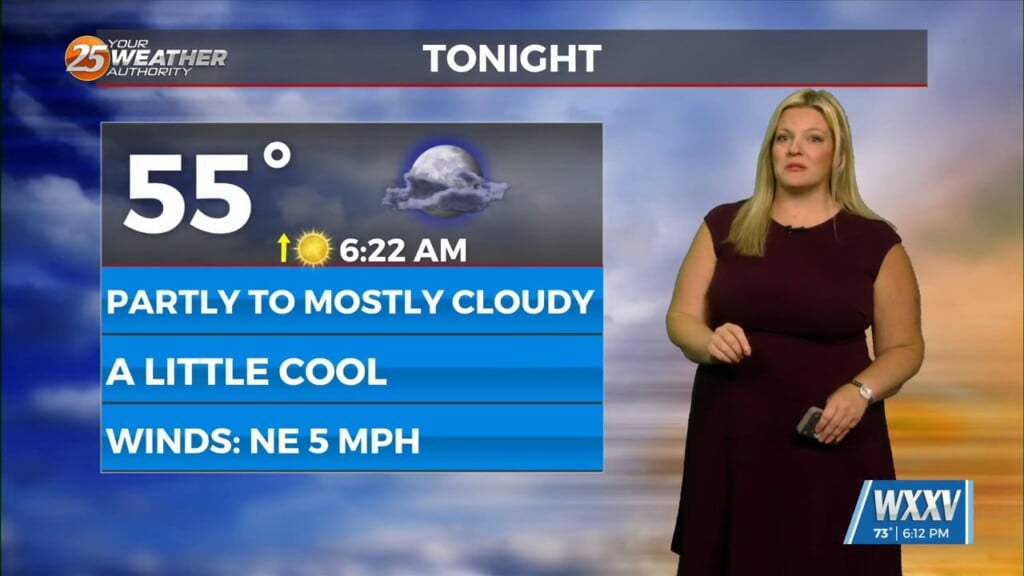
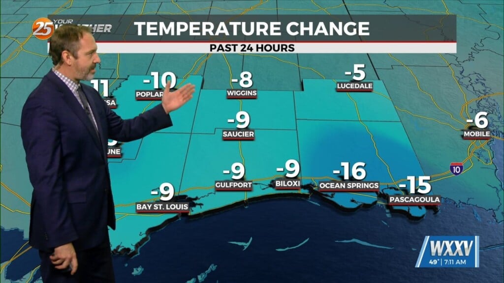
The cold front pushed through last night and brought a much cooler airmass with it. Temperatures will max out just below seasonal averages this afternoon under clearing skies. Elevated winds in excess of 20 MPH will continue. After sunset, winds will back off a bit but they will remain elevated the next couple of days.
Wind chills will be in the 30s tomorrow morning. The cooler conditions will remain in place through the first half of the week. A disturbance will pass through our area overnight Tuesday into Wednesday. Clouds will increase Tuesday afternoon, but it will clear the area by daybreak Wednesday. Very light sprinkles/drizzle is all that can be expected.
Return flow begins to set up mid-week. It will take until late Thursday for moisture to recover. This will happen in advance of a frontal system for the end of the week. The cold front will move through the area Friday. Fine details are yet to be ironed out. That being said, the potential for heavy rainfall and severe weather will be monitored. Following that, there will be another shot of cold air into the weekend.


