3/14 – The Chief’s “Winter Conditions” Tuesday Morning Forecast
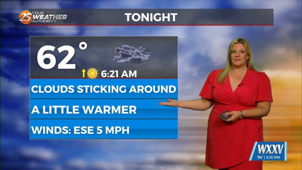
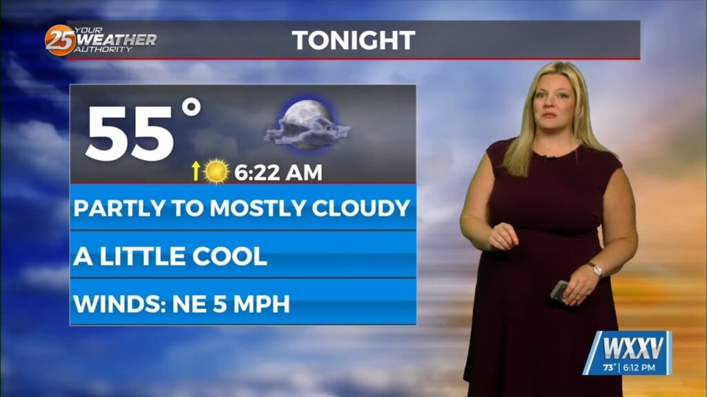
Generally a dry west or northwesterly flow currently resides over the region. At the surface, high pressure continues to spread eastward over the mid/lower MS River Valley this morning. The center of the high pressure will continue to move eastward from the MO Ozarks into the Ohio River Valley by tonight. A weak disturbance will amplify upstream and move over our area later today and overnight. Increased cloud coverage and a few showers will be possible tonight.
Wednesday will be the transition day. A warming trend will start at the previously mentioned high pressure continues to move east leading to an onshore flow developing. Surface high pressure will be in control Wednesday night and into early Thursday. At the surface, southerly return flow will help in this as well as a modest increase low level moisture across the region.
Eyes quickly shift upstream over the Rockies and eventually the central U.S. A strong front will further amplify and moving into the region from the west by late Thursday and Friday. Models at this range are in relatively good agreement with the possibility for heavy rain Friday. The question regarding severe weather is still there. The area should be placed under a MARGINAL or even a SLIGHT threat for severity Friday afternoon into Friday night.
Going into the next weekend, rain/clouds should quickly clear as a much cooler and drier airmass settles into the region. Temperatures appear to be several degrees below seasonal average, so this will be the story. Overnight lows will drop into the 30s or 40s respectively across the region. At this juncture, not expecting freezing temperatures, but frost may be a real possibility along and north of the I10/12 corridor.


