3/21 – The Chief’s “Much Warmer Temperatures Ahead” Tuesday Morning Forecast
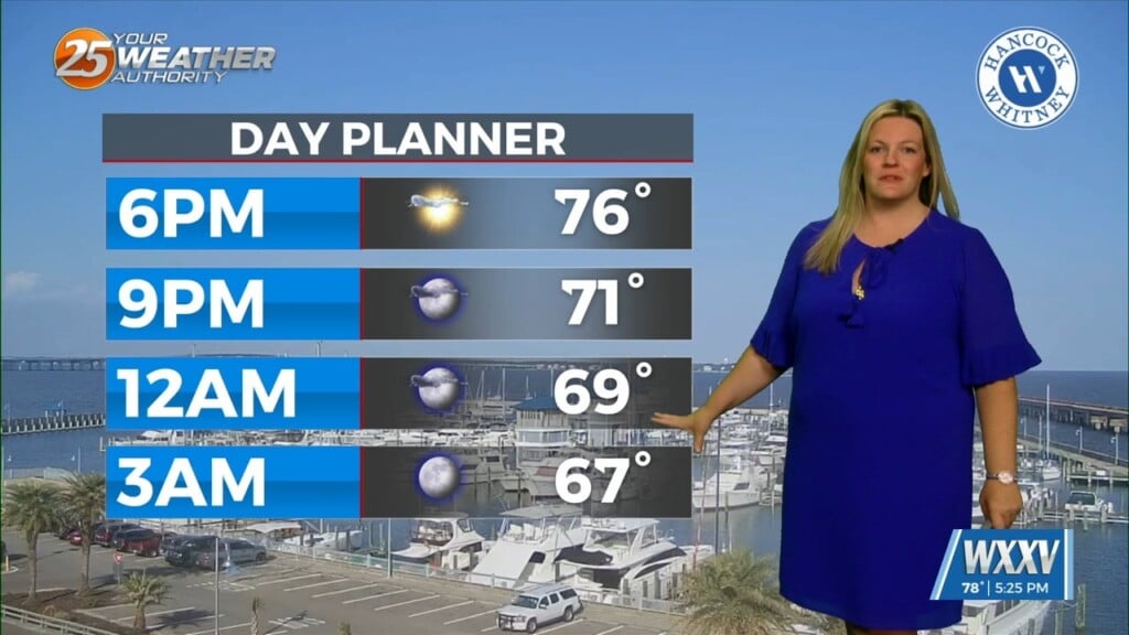
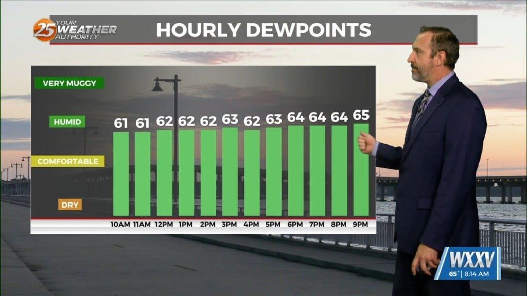
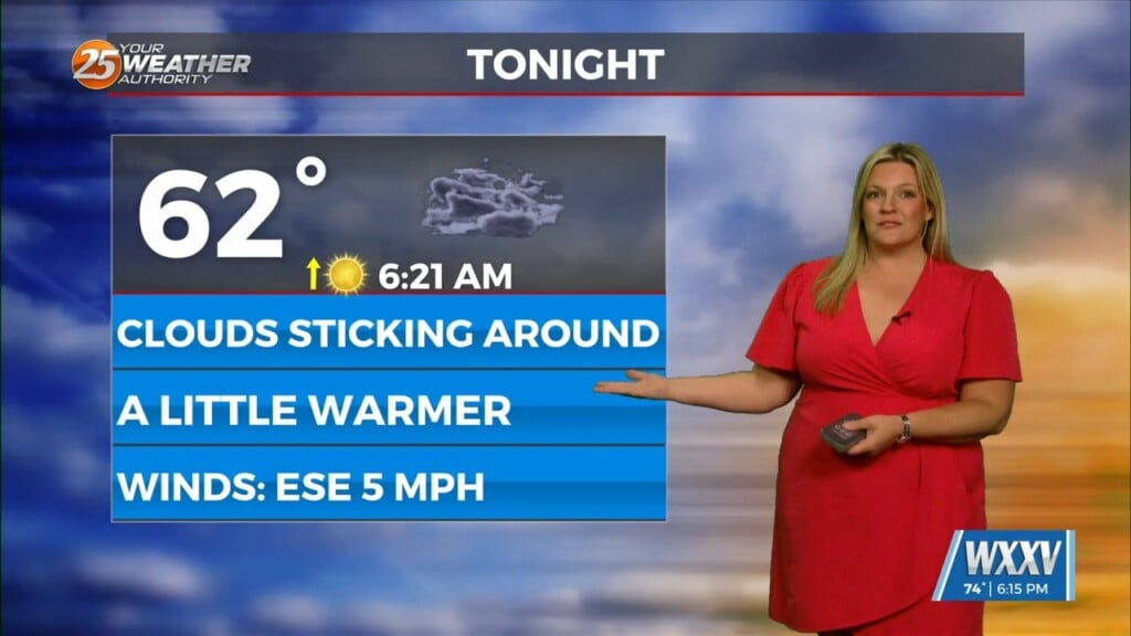
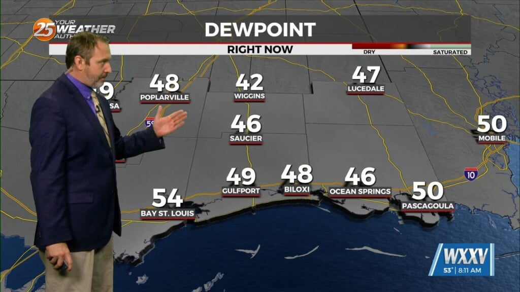
The return flow will become more established today and remain that way through the short term. This will help add to the warming trend over the coming days but also bump the moisture up a bit. But for the most part highs will be approaching room temp and maybe just a bit higher but this will feel very comfortable over the next several days. No issues weather wise during the short term either.
The Storm Prediction Center (SPC) has indicated a slight risk in day 4 and the orientation makes sense when looking at areas most susceptible. The current advertised pattern shows a split strongly divergent flow well to the north of the area while here the flow is mostly parallel to the frontal interface. A strong disturbance will eject from the base of this pattern by Friday evening and bring a strong cold front to the area. Breezy conditions will be likely Friday and Friday night ahead of a cold front and associated weather should move through during the evening and overnight hours Friday. Once the front moves through, conditions won’t change a lot with only a temporary drying and no freezing temps. The front should stall over the gulf Saturday evening before quickly reactivating as a warm front by Sunday morning. This boundary could become stalled over the northern portion of the area with plenty of moisture to cause a large area of showers/t-storms to develop and move along the boundary. Another cold front will also move toward the area and help keep moisture moving into the area.
We are moving into the time of year when these fronts begin to stall near or over the area and rainfall can become an issue with some of these. So the new week coming will be watched for some heavy rainfall probabilities.


