3/20 – Brittany’s “Spring Is Official” Monday Evening Forecast
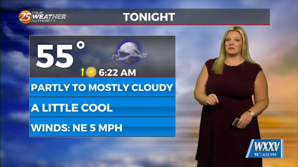
One more colder than normal night tonight before the high shiftseastward and temperatures fully moderate. Main forecast challenge for tonight is determining just how cold it will get, especially in the drainage areas. Depending on the timing of when winds turn around to the east and then southeast, temperatures could drop a degree or two lower than what is in the current forecast.
As is typically the case with departing highs, the coldest locations are generally expected to be along and east of I-55 and along and north of I-10/12. In these areas am generally carrying overnight lows in the 35 to 38 degree range, which is mostly in line with the deterministic NBM guidance, though some downward adjustments towards the latest MOS guidance were made in the drainage areas where the NBM typically struggles.
Once the sun comes up tomorrow, temperatures moderate quickly. Expect to be in the mid to upper 50s by mid morning, with highs topping out in the upper 60s and lower 70s. Moderation continues Tuesday night through Wednesday night with zonal flow aloft and southeast winds in the low levels as the high continues to shift eastward. Lows will be near or slightly warmer than normal Tuesday night – falling into the low to mid 50s north and into the mid to upper 50s south. Highs will be decidedly above normal by Wednesday afternoon and some places will flirt with or exceed the 80 degree mark, which is a far cry from the 40s and 50s of this past weekend. Above normal temperatures continue into Wednesday night with overnight lows only forecast to fall into the upper 50s to lower 60s north and low to mid 60s south.


