Weather Headlines

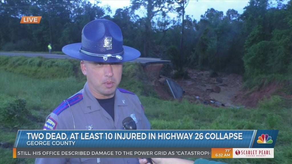
8/31 - George County Deadly Road Collapse

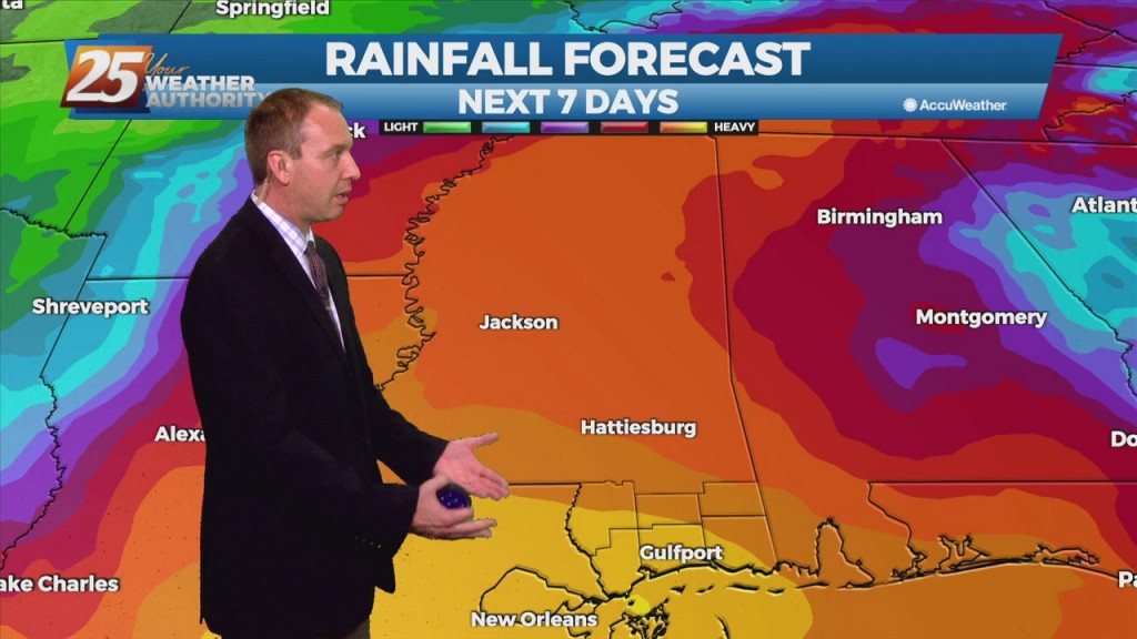
Late Monday night a portion of Hwy 26 in George county collapsed leaving 2 dead, 10 injured with 3 dealing with life threatening injuries. Authorities are speculating the torrential rainfall from Hurricane Ida was to blame for the erosion that…
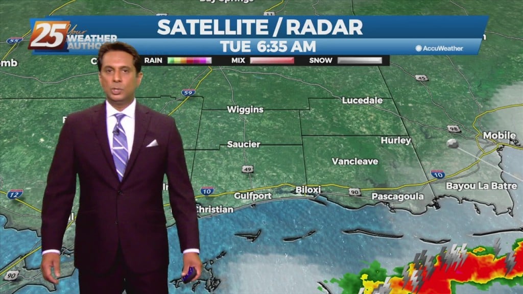
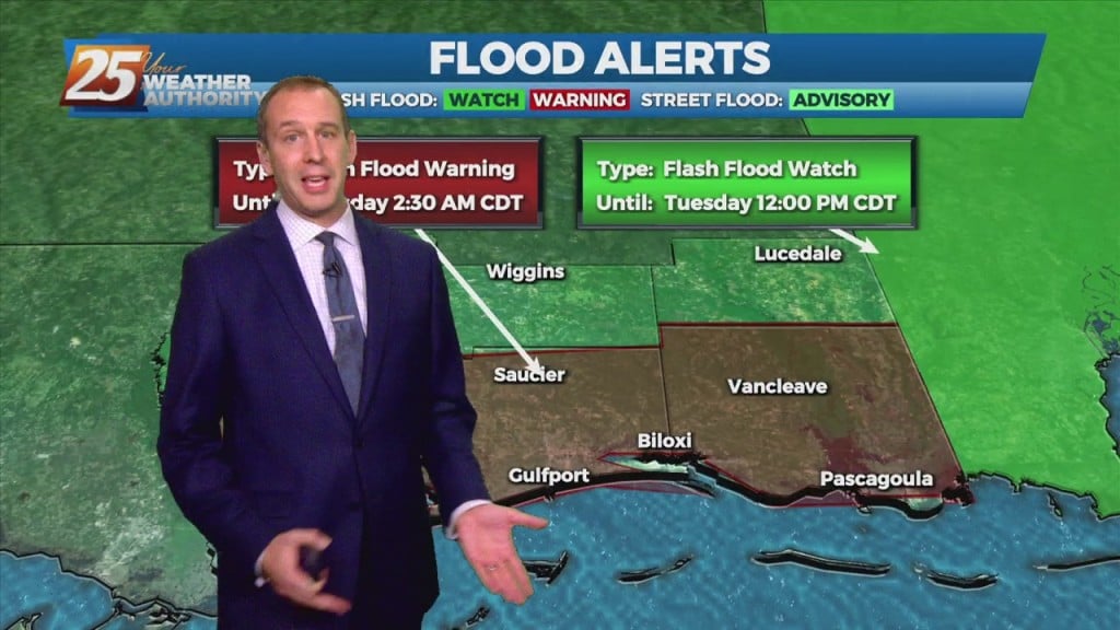
8/31 - Rob's "Tropical Moisture" Tuesday Morning Forecast

Trailing feeder bands in the wake of now remnant Ida will continue to drag across the area thorough today. These bands will slowly press southeastward into the Gulf through the morning and late afternoon. Despite southeastward movement of the band,…

8/30 - Rob Knight's "Monday Morning/Ida Update" Forecast

With IDA to the NNW moving towards north central Mississippi, expect gradual improvement through today. Widespread rain across the area will continue and gradually decrease to scattered showers later today as Ida tracks slowly to the north. After the center…

8/29 - Brantly's Sunday 4 PM "Hurricane Ida" Update

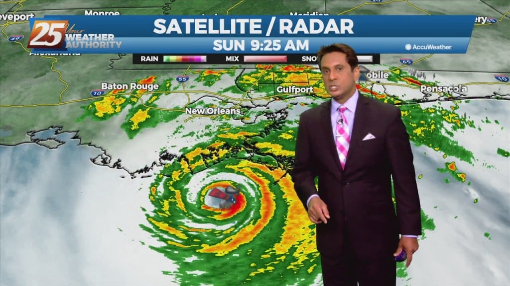
The NWS Doppler radar imagery and data from an Air Force Reserve Hurricane Hunter aircraft showed that Ida made landfall around 1655 UTC along the southeastern coast of Louisiana near Port Fourchon with estimated maximum winds of 130 kt and…

8/29 - Brantly's Mid-Afternoon Hurricane Ida Update

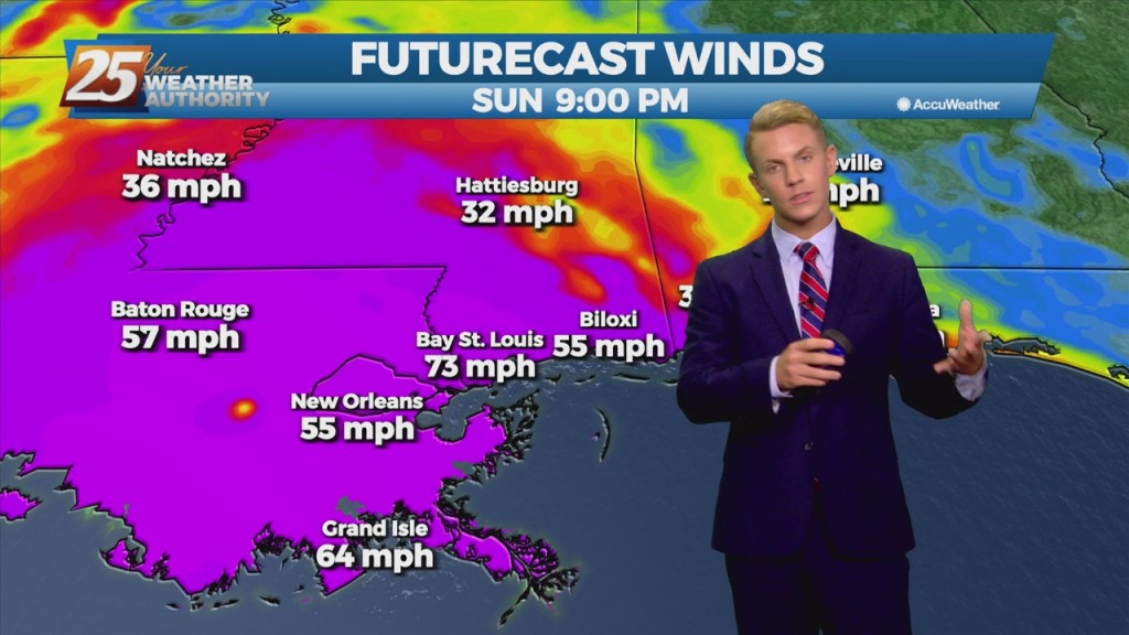
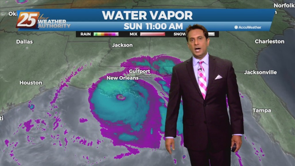
Hurricane Ida continues to move through SE Louisiana, moving towards the NW. South Mississippi will continue to see coastal flooding, gusting winds and the threat for tornadic activity as feeder bands move through the area. Winds will get worse late…

8/29 - Rob Knight's Sunday Morning 10 AM Hurricane Ida Update

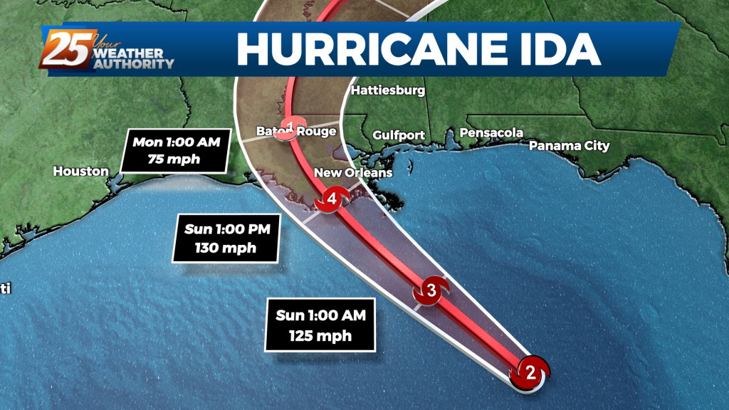
​Ida's rapid strengthening appears to have leveled off within the past hour or so.  NOAA and Air Force Reserve Hurricane Hunter aircraft that have been in the storm this morning have reported peak flight-level winds of 146 to 148 kt between…

8/29 - Rob Knight's Sunday Morning HURRICANE IDA Update

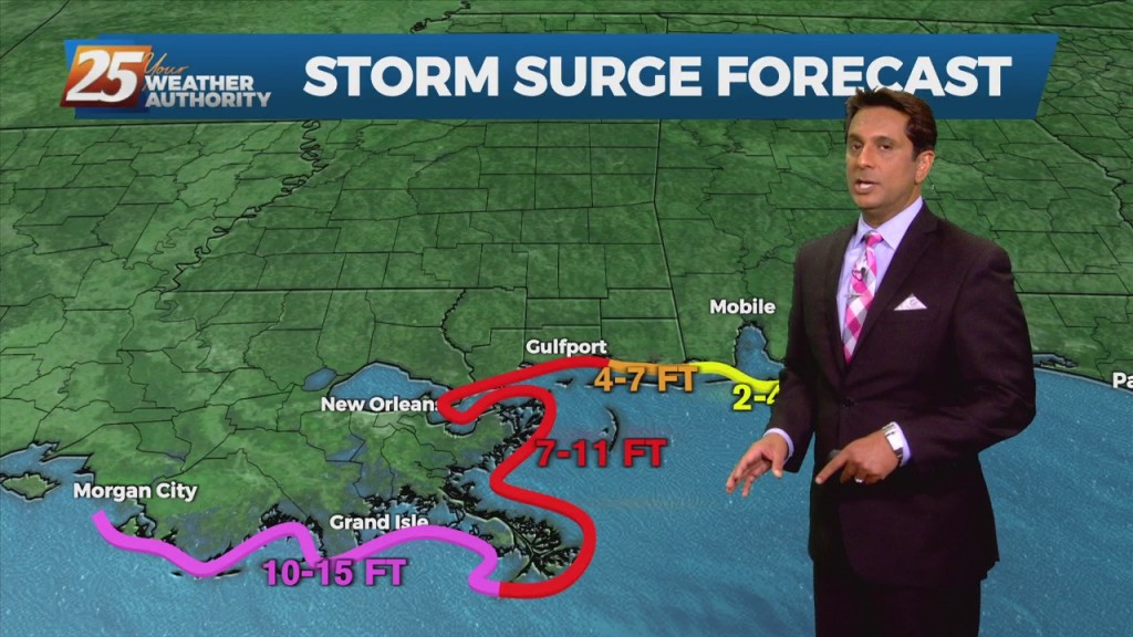
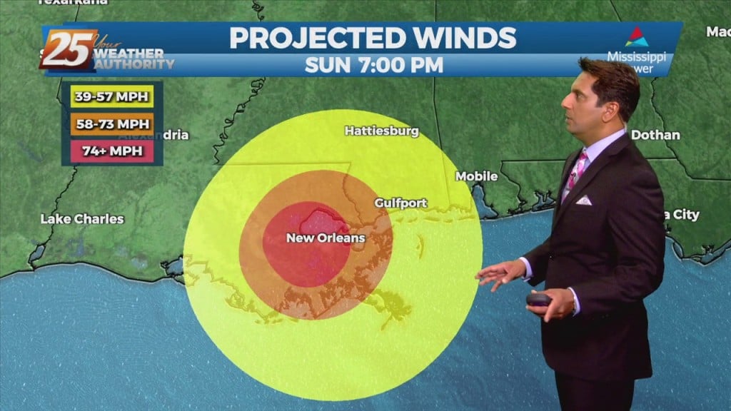
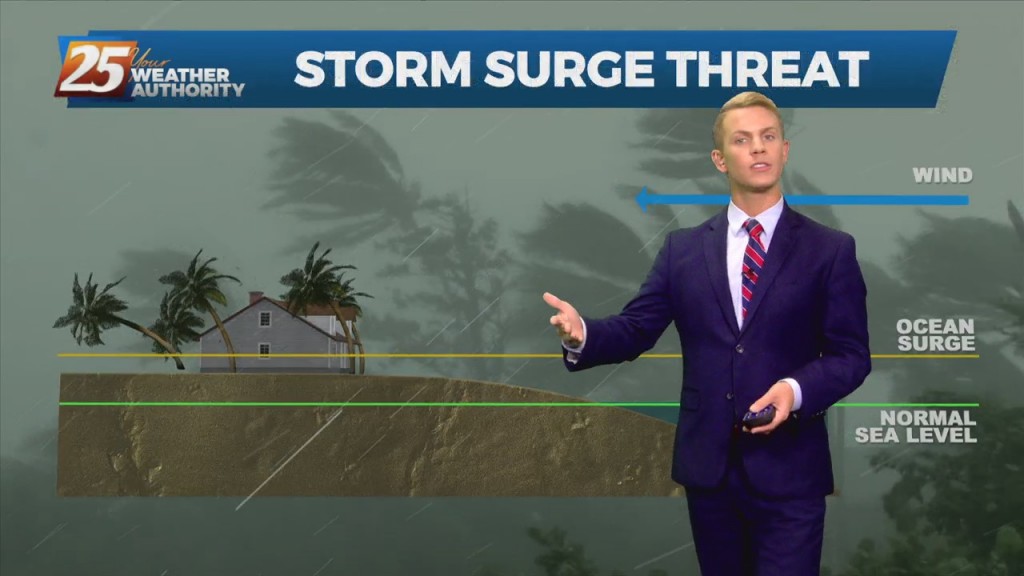
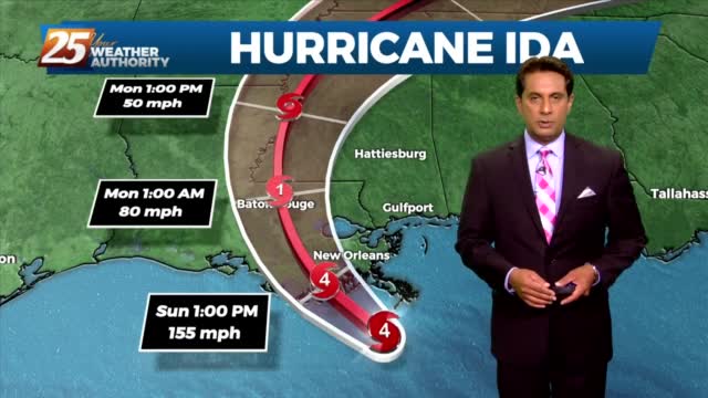
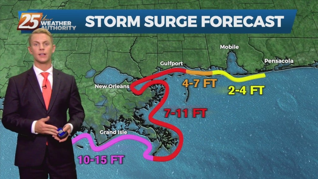
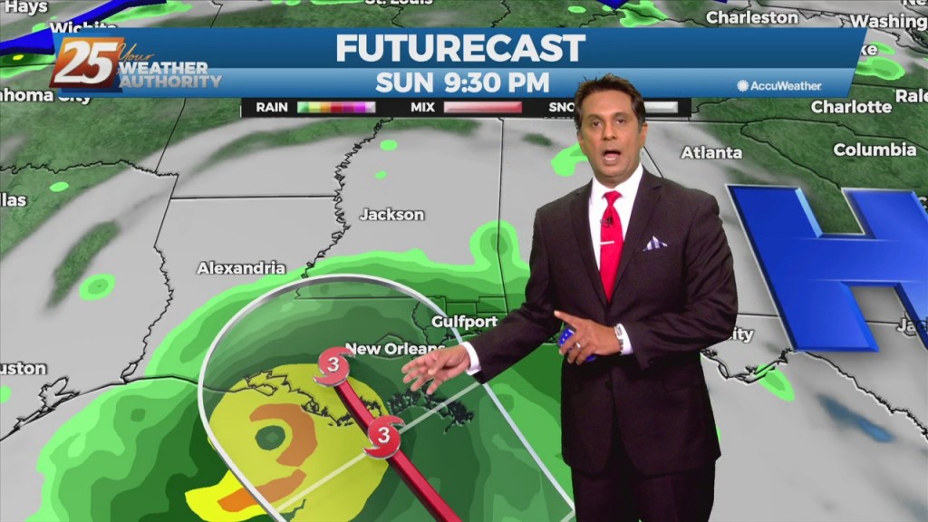
Hurricane Ida is forecast to bring CATASTROPHIC and life-threatening storm surge to a large portion of SELA and these extreme surge values will be found in coastal Mississippi as well. Hurricane conditions will occur across all of SE Louisiana and…

08/27 – Brantly's Friday Night Hurricane Ida Update

 Radar data from Cuba indicate that the inner core of Ida has remained intact after its passage over western Cuba with a well-defined eye and relatively symmetric eyewall evident.  In addition, satellite images show deep storm activity increasing in both…

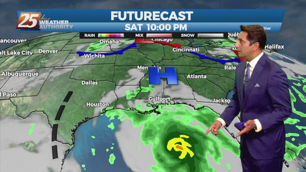
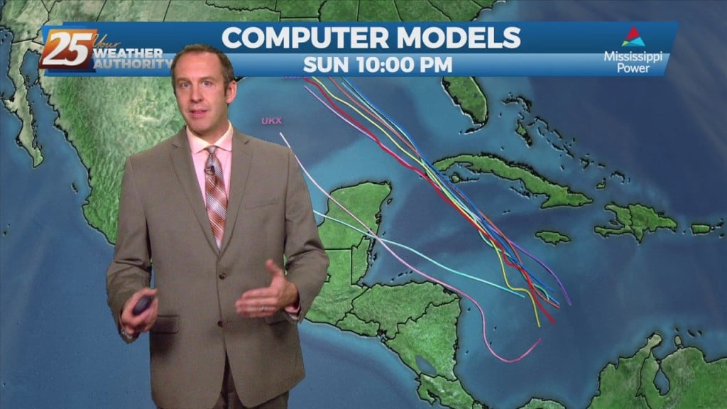
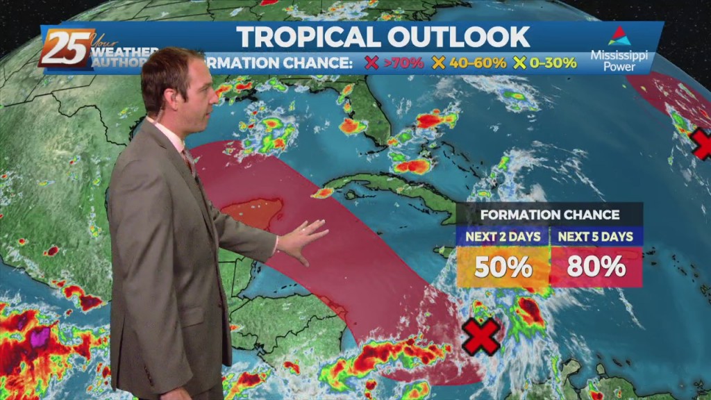
8/27 - Rob's "Tracking The Tropics/Ida" Weekend Forecast

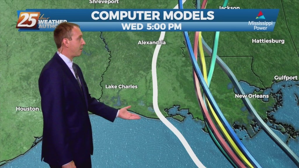
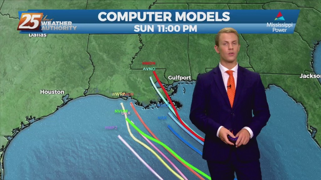
Guidance is relatively tight in terms of Louisiana as the most likely to be impacted. The timing and the intensity of Ida is the main forecast concerns. Ia could potentially become a MAJOR HURRICANE prior to making landfall in SE…