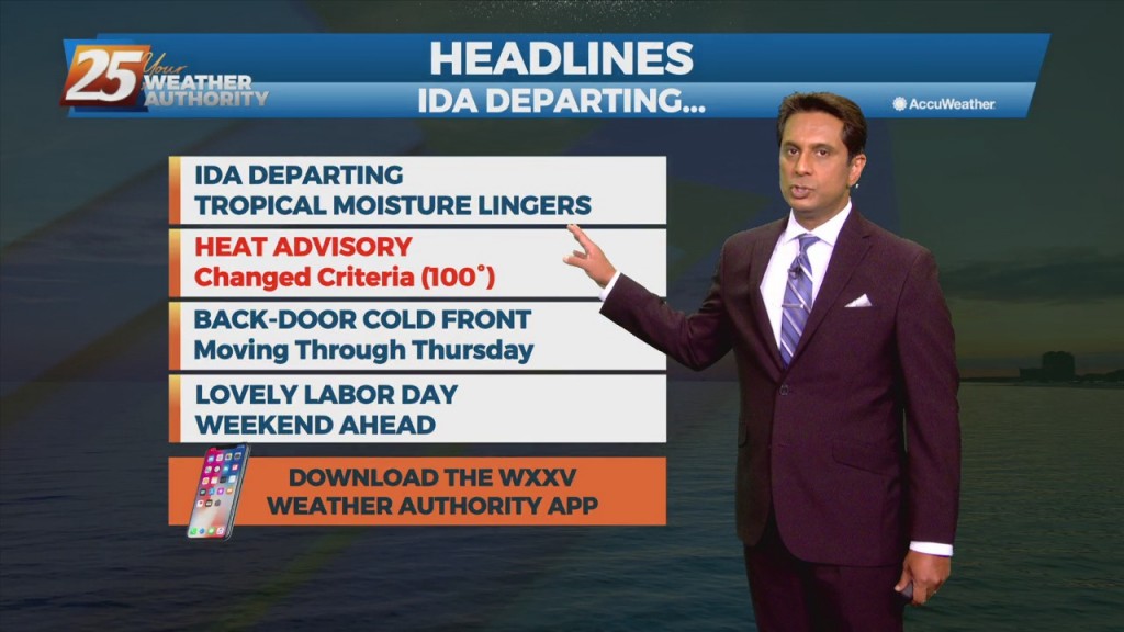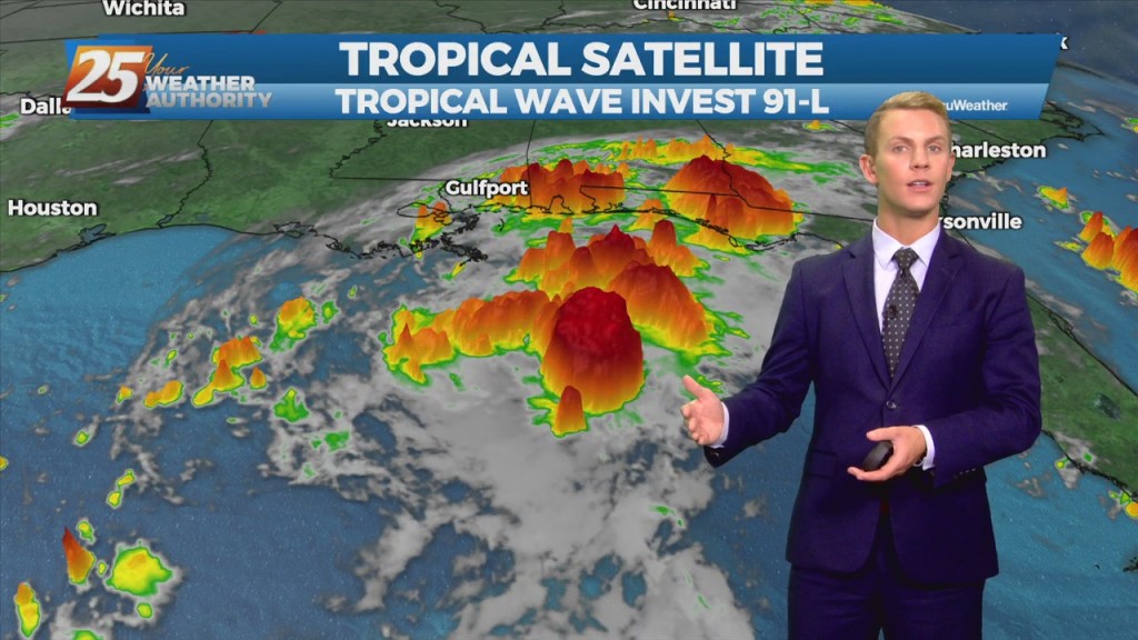
Weather Headlines

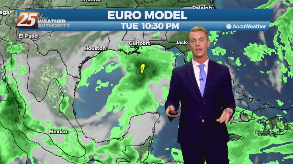
09/07 Ryan's "Damp" Tuesday Night Forecast

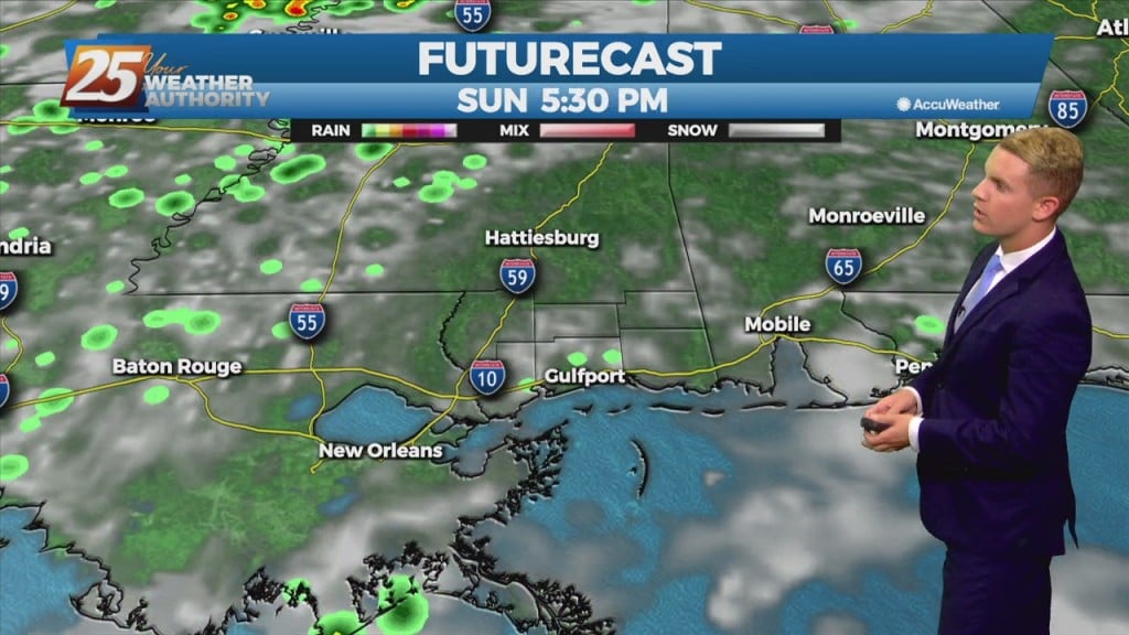
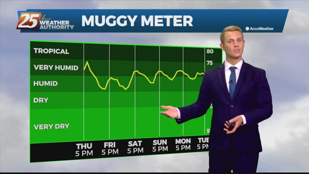
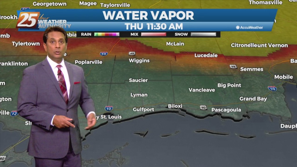
We have more rainy, damp weather ahead, but a cold front will bring drier, less humid weather for the weekend. Probably more prudent to call it a "tepid" front…

9/7 - Rob's "Gray & Gloomy" Morning Forecast

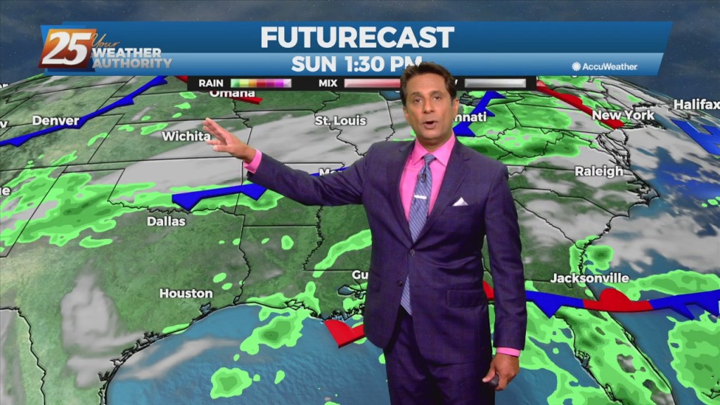
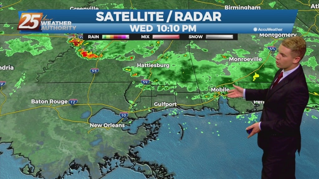
A frontal boundary will remain nearly stationary across the forecast area, while gradually dissipating. Showers and t-storms will affect the area with the potential for pockets of more heavy rainfall will exist. The Weather Prediction Center continues to outlook most…

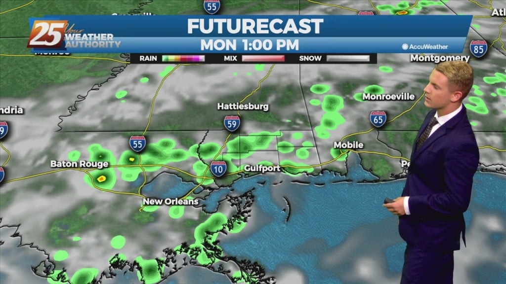
09/06 – Brantly's "Unsettled Weather" Monday Night Forecast

 An upper level trough will otherwise continue to dig southwestward and extend across Louisiana into central Mississippi tonight, and then become oriented from near the TX/LA coast through southeast MS during the day Tuesday. The surface front will meanwhile continue…

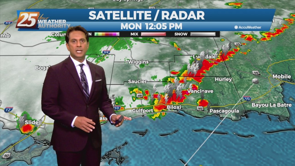
9/6 - Rob's Monday Afternoon "Wet Pattern" Forecast

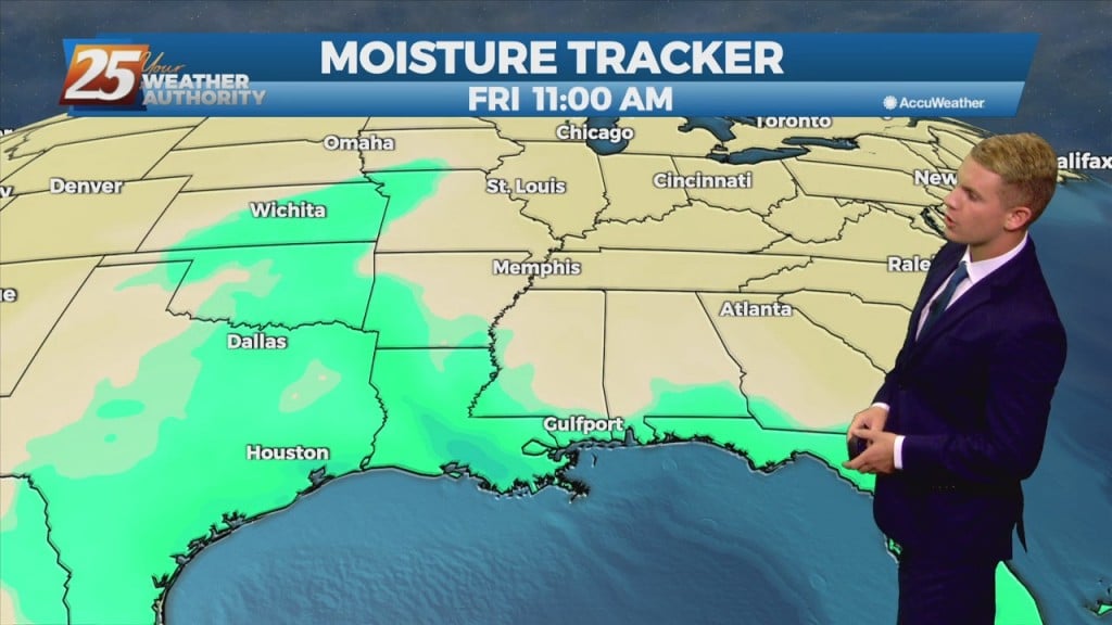
A cold front will drop southeast into the forecast area, providing showers/T-Storms along the front to impact the area into tonight. Deep tropical moisture should be in place with the possibility for isolated pockets of heavy rainfall through mid-week. There…

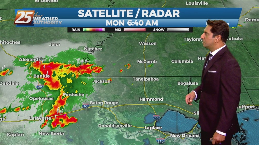
9/6 - Rob Knight's "Labor Day" Morning Forecast

The upper level high-pressure centered along the northern Gulf Coast will continue to move south and weaken. An upper level trough digging across the Mississippi Valley and an associated surface cold front will drop southeast into the forecast area. Showers/T-Storms along…

9/3 - Rob's "Less Humid" Labor Day Weekend Forecast

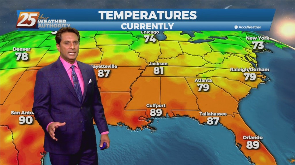
This afternoon will bring hot temperatures in the wake of yesterday's cold front. Temperatures will climb to around 90 degrees but will be rather tolerable a a less humid flow continues to dominate the region. The aforementioned frontal boundary will…

9/3 - Rob Knight's "Post-Frontal Passage" Friday Morning Forecast

In the wake of yesterday's cold frontal passage, a less humid flow will dominate heading into the weekend. The aforementioned frontal boundary will likely stall near the coast today through Saturday, with any diurnal afternoon convection being immediately along the…

9/2 - Rob's "Cold Frontal Passage" Afternoon Forecast

A cold front will continue to push south through the area providing dry air moving into the area. Despite the passing of the front, there will not be any noticeable cool off with highs staying in the upper 80s to…

9/1 Rob's "1st Day of September" Afternoon Forecast

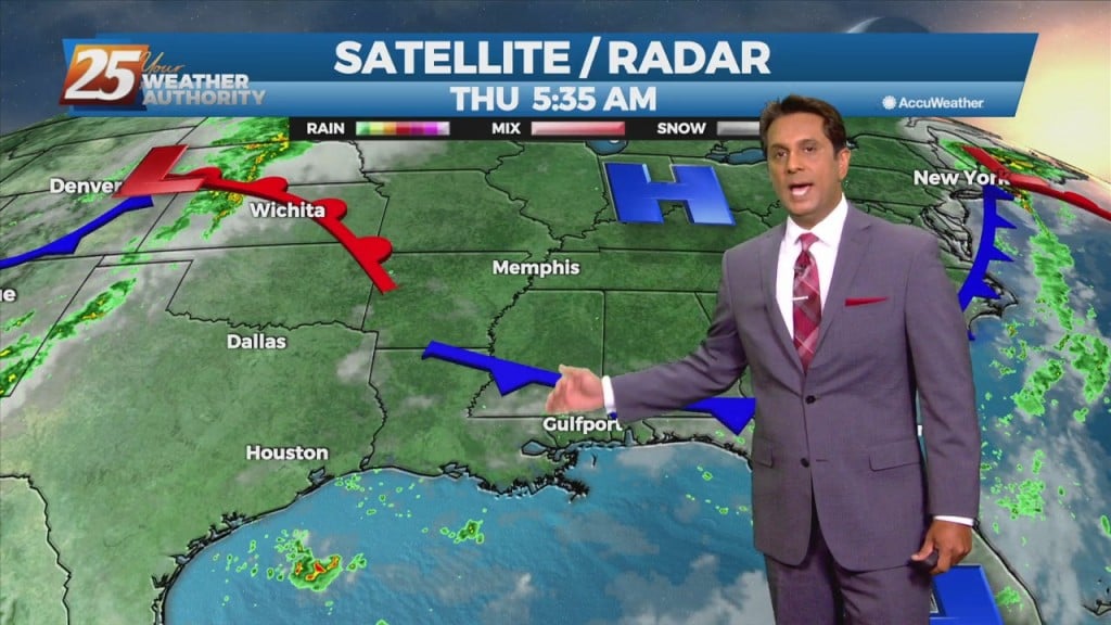
A surface low associated with Tropical Depression Ida will continue to move NE, dragging a weak cold front into south Mississippi Thursday morning. Northwesterly flow aloft will develop across the area today between the upper level High pressure over Texas…

9/1 - Rob's "September Outlook" Morning Forecast

A surface low associated with Tropical Depression Ida will continue to move NE, dragging a weak cold front into south Mississippi Thursday morning. Northwesterly flow aloft will develop across the area today between the upper level High pressure over Texas…