5/13 - Payton's Sunday Night Forecast
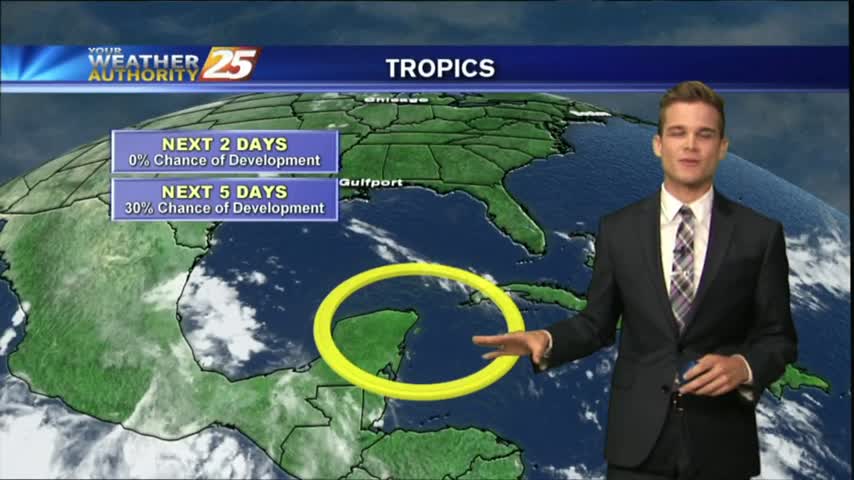
Another hot one, but now our attention turns to the tropics.
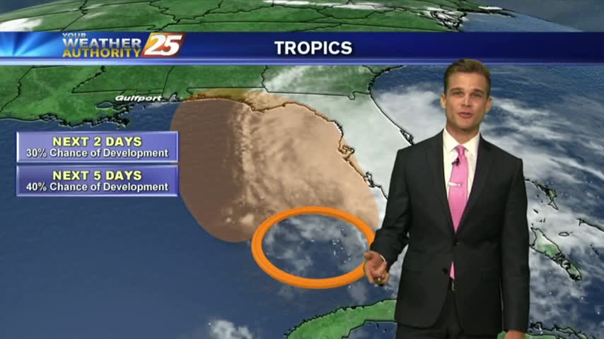
Another hot one, but now our attention turns to the tropics.
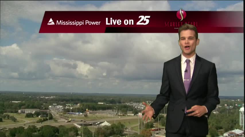
Another nice and warm day, but we are tracking a cold front on its way to South Mississippi.
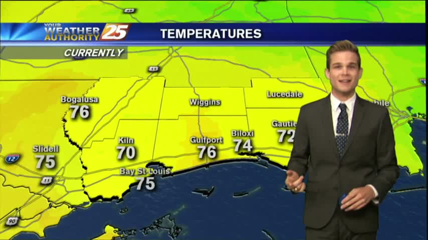
Enjoy more beautiful weather today!
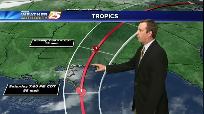
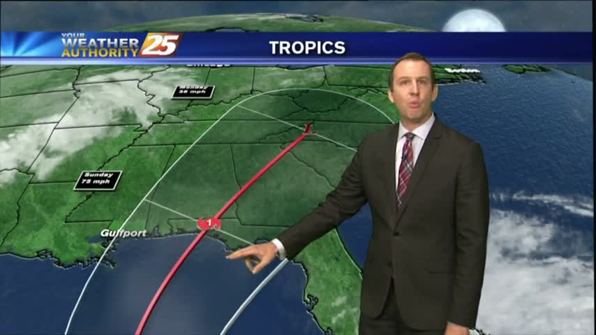
The latest update pushes the forecast track slightly further East and strengthens it a bit as well. There's still a lot that can happen between now and landfall, so watch the full forecast for details.
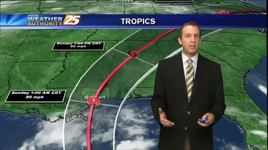
Today remained beautiful as expected, but conditions will begin to deteriorate rapidly as we head into tomorrow afternoon and Nate moves in. Full update inside.
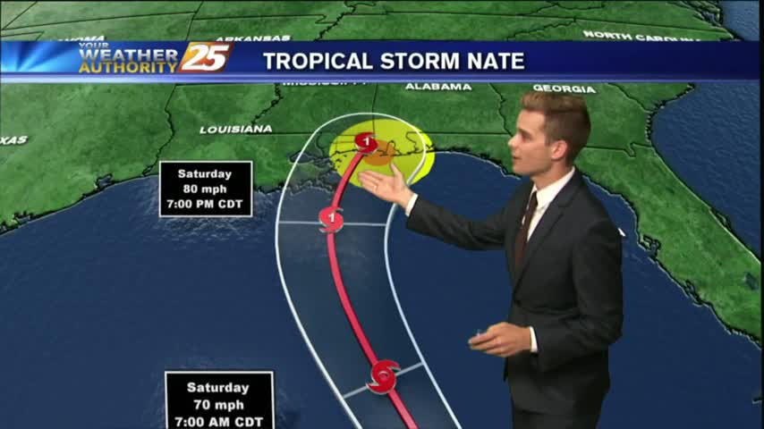
A Hurricane Warning and Storm Surge Warning for South Mississippi...
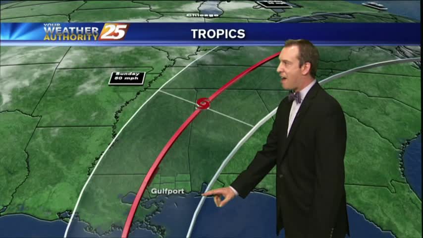
Tropical storm Nate continues to move across Central America, and will be in the Southern Gulf by Saturday morning. The forecast path comes close to home but is still uncertain, so watch the full forecast for more.
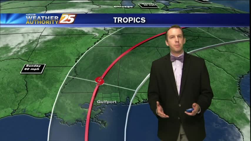
The local weather will remain gorgeous for one more day, then we'll begin seeing the outer bands of a tropical system that has a good chance of land-falling nearby. Click for details.
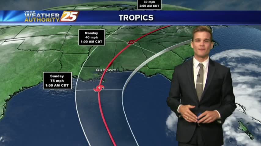
Forecasts continue to trend west with the track of the storm, which means the storm could have a bigger impact on South Mississippi.
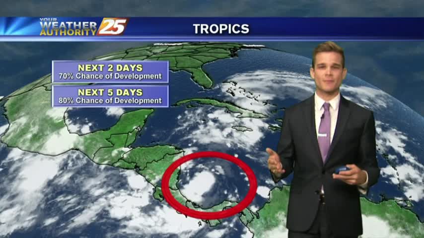
The next few days will be sunny and gorgeous, but a new tropical depression is worrying Gulf Coast residents. Click the link for the latest on the tropics.
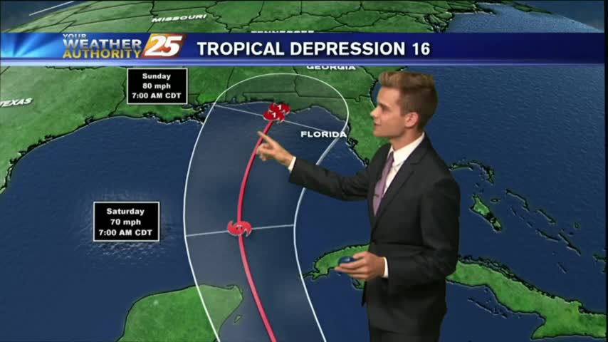
Tropical Depression 16 has formed, and could impact portions of the Gulf Coast this weekend.
Drier are has moved into the area, and that means nice weather for the next few days, but changes are on the way.
Precipitation should stay low as we approach the weekend with a few passing showers possible from day to day.
Expect overcast and on and off showers and thunderstorms for your Monday.
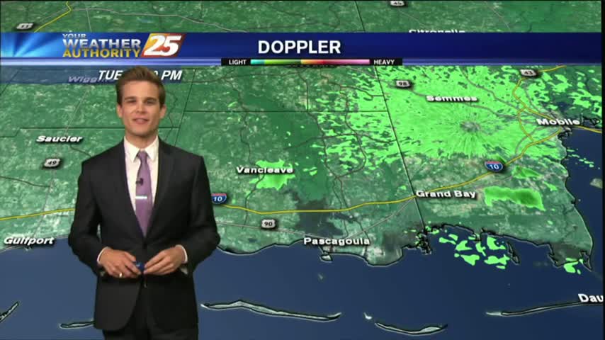
Showers and thunderstorms that moved off the waters this morning continue to slowly dissipate, but we could see more this afternoon.

Seeing a few showers in the area this morning ,but drier weather is on the way.
Showers and thunderstorms are starting to develop across the area this afternoon.

It was another warm and humid day with showers and thunderstorms.
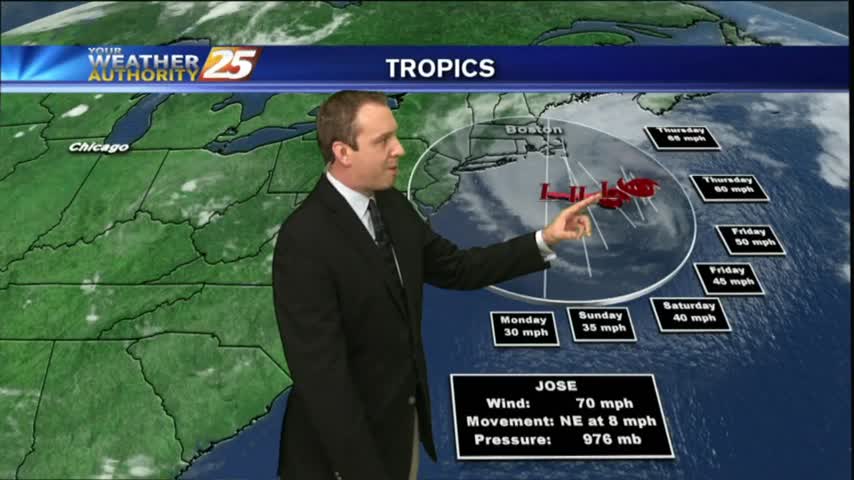
We're still expecting more predictable "summertime" weather for the rest of the week, but Fall officially begins on Friday so changes are on the way. Details within.
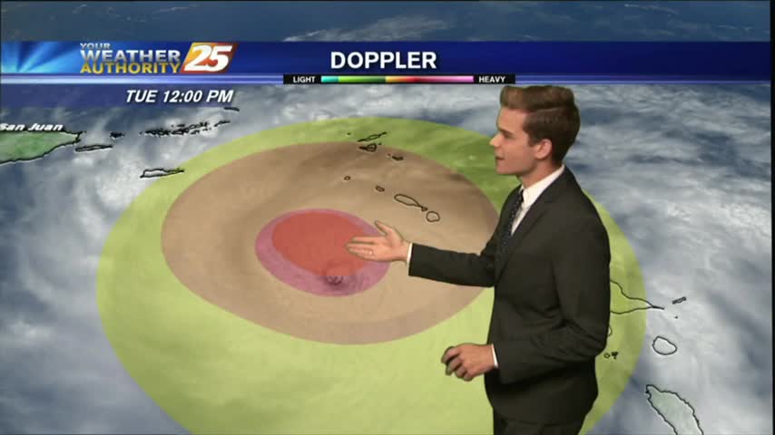
HURRICANE MARIA: CATEGORY 5 (MAJOR HURRICANE) EXPECTED TO MAKE LANDFALL IN PUERTO RICO WEDNESDAY MORNING...
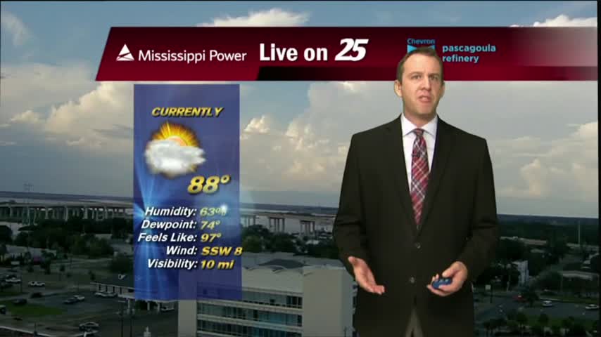
It's now officially the home stretch for Summer, as Fall arrives just in time for the weekend. Don't expect any drastic changes right away though; forecast details within.
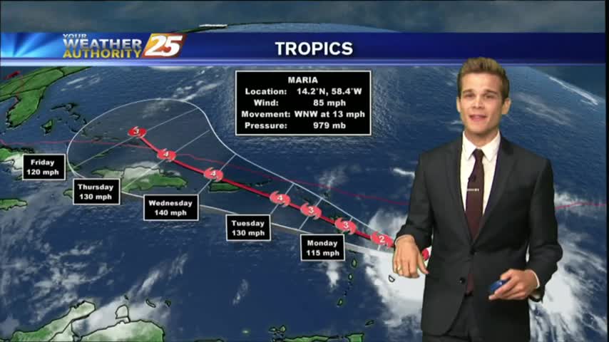
It was a hot & muggy weekend with occasional isolated showers and thunderstorms.
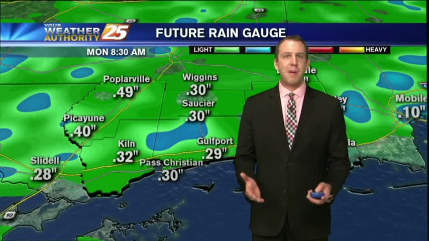
Sadly, the humidity returned as expected today, and that will lead to some muggy conditions in the coming week. The tropics are getting crowded again as well, so watch the forecast for details.
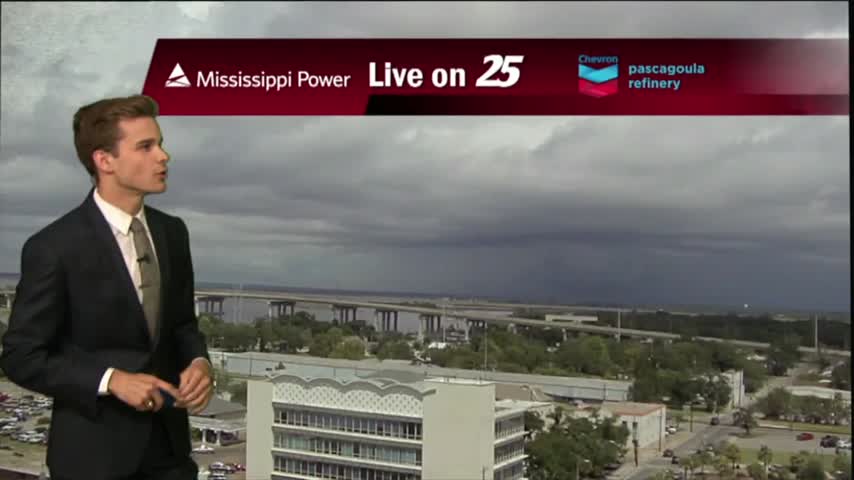
Showers and thunderstorms have started to develop late this morning across Jackson and Harrison County.