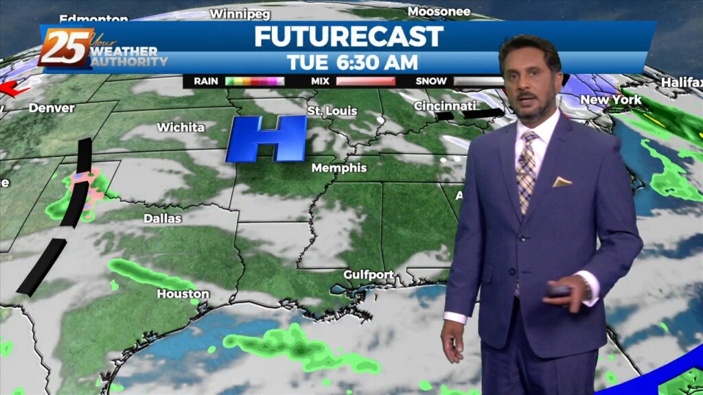
3/14 - The Chief's "Winter Conditions" Tuesday Morning Forecast
Generally a dry west or northwesterly flow currently resides over the region. At the surface, high pressure continues to spread eastward over the mid/lower MS River Valley…
Generally a dry west or northwesterly flow currently resides over the region. At the surface, high pressure continues to spread eastward over the mid/lower MS River Valley…
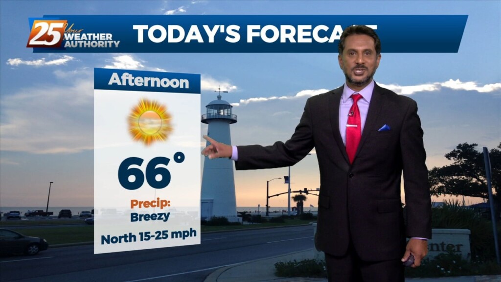
As last night’s cold front continues downstream, cold air advection will continue to be the story, along with decreasing clouds later in the afternoon from…

A few shower in the area will begin to dissipate this afternoon as a drier air mass moves in behind a cold front moving SE. High…
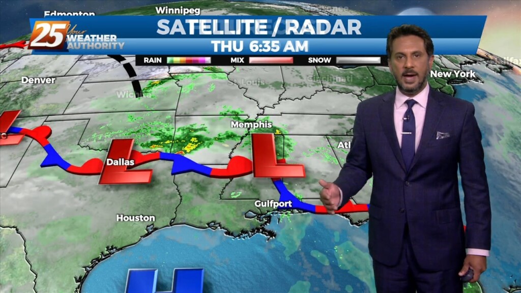
A cold front just north of the area will slowly slip though south Mississippi later this afternoon/evening. High pressure to the SE will suppress the energy…
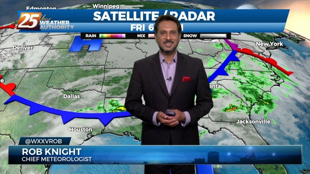
Widely scattered afternoon/evening showers and a few t-storms will affect the area this afternoon, dissipating this evening. The prospect of locally dense fog forming…
Isolated t-storms will continue this morning with partial sunshine moving in this afternoon. Concerns overnight will be the prospect of locally dense fog forming. The near record…

A weak backdoor frontal has dropped south in to the area and will be a focal point for a few afternoon showers/t-storms. To the south of…
A very warm start to the day with another warm day expected across the region and no sign of a change at least in the…
A warm front moving north this morning over south shore locations could bring enough vertical depth to get some showers out of it today…otherwise just…
TOP TIER WEEKEND AHEAD... Behind the front this afternoon, winds will be gusty and we return back to more normal temperatures. These gusty winds and…
Currently there is a narrow line of showers across western Louisiana. Expect that to continue to move off to the east through the late morning hours.…
Warm and breezy conditions ahead this afternoon with a storm system developing to the west. A strong upper level disturbance begins to move from…

Another warm day expected across the region with most of the area warming into the upper 70s to low 80s along with breezy conditions. All eyes…
Continued unseasonably warm conditions will persist for the next few days as the surface high over the Bahamas causes southerly surface flow into…
Another well above average day is expected in terms of temperatures across the region. At the surface a weak stationary front north of Hattiesburg will…
Ahead of a front today will be quiet the windy day and warm. Because we will be able to mix out quite high we will…
The main feature at the surface remains to be a frontal boundary that has come to a slow crawl or just about stationary to our…
What month is it again? What a wonderful warm trend we’re in with plenty to discuss, starting out with a broad overview beginning at the surface.…
Aloft, our region will be within the northwest periphery of the strong high pressure parked over south Florida leading to southwesterly flow. Today will mostly be a…
A weak frontal boundary will reside pretty close to our northern area border today. With the closer proximity to the boundary, the surface pressure gradient…
Today our area will reside between a strong upper level high pressure over the western Caribbean and southwest Atlantic and a strong upper level…
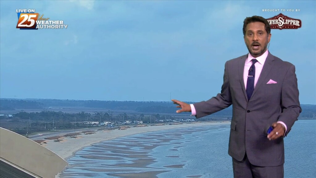
Early this morning some sea fog has overspread portions of the Mississippi Gulf Coast dropping visibility down to around half a mile or so over…
Additional cloud cover expected today across the region as low level winds continue to advect a very rich airmass over the region. High pressure will continue…
Today is a continuation of a steep temperature moderation period that started yesterday as a strong upper level high pressure builds in over the Gulf…