3/7 – The Chief’s “Record High Temps Possible” Tuesday Morning Forecast
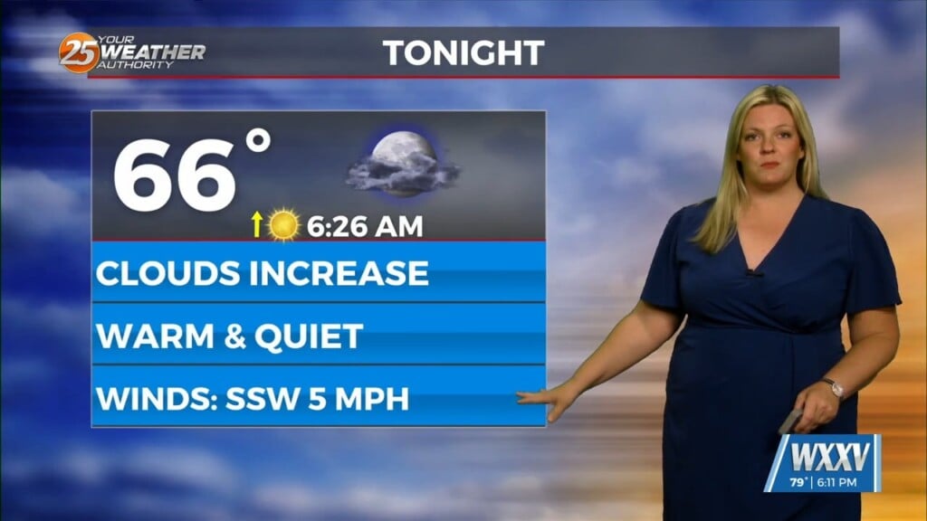
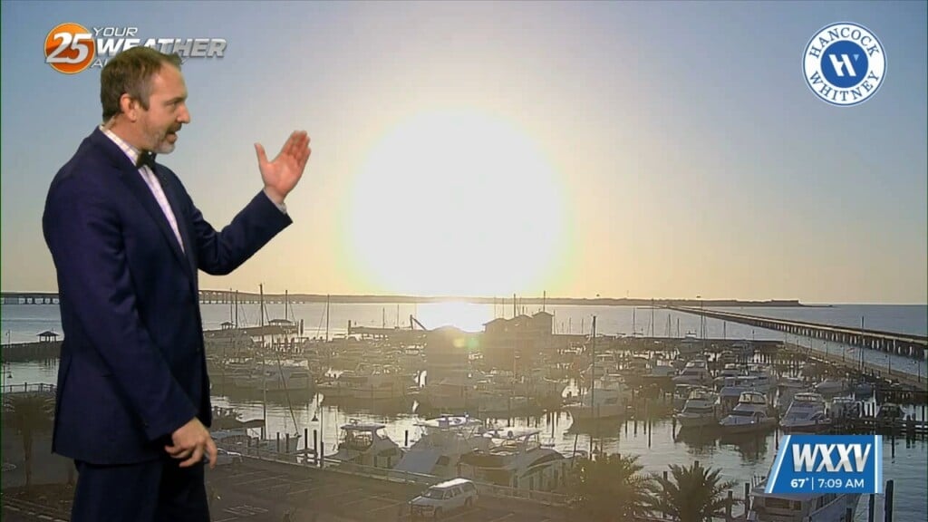
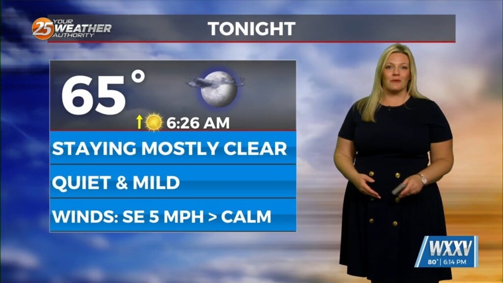
A very warm start to the day with another warm day expected across the region and no sign of a change at least in the short term. Patchy fog this morning will reemerge again tomorrow and Thursday morning as high pressure continues to shape the forecast.
Over the next 24 to 48 hours we will actually see the high pressure build over the northwest Gulf and lead to warm temperatures.
Little change is expected in the overall patter through Thursday. All guidance remains in good agreement that a upper level disturbance and a surface cold font moving through the area Friday afternoon and evening. Moisture convergence and forcing along the front will produce showers and a few weak thunderstorms. Based on the lack of strong deep layer forcing and limited instability as noted in model soundings, have opted to stick with a rain chance forecast of 40 to 50 percent for Friday afternoon. Temperatures will remain above average ahead of the front with highs in the upper 70s and lower 80s expected.
After the front passes through the area Friday night, winds will shift to the west and northwest, but a largely Pacific based airmass moving into the area will do little to lower temperatures for Saturday. The main impact of the frontal passage will slightly lower dew-points and humidity for Saturday. Otherwise, daytime highs will remain well above normal in the upper 70s and lower 80s. By Sunday, another disturbance will slide north of the area.


