3/8 – The Chief’s “Dense Morning Fog” Wednesday Morning Forecast
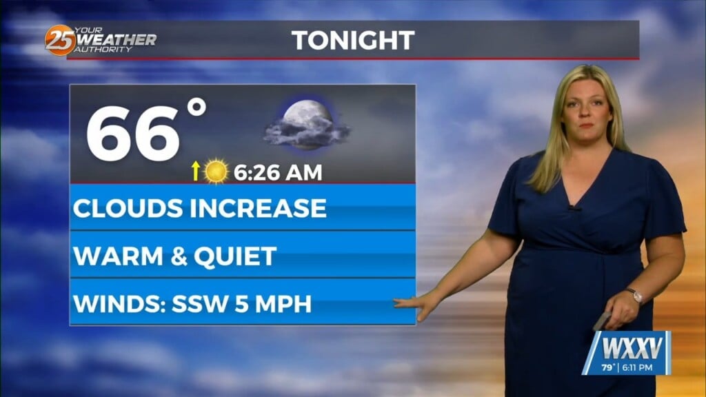
A weak backdoor frontal has dropped south in to the area and will be a focal point for a few afternoon showers/t-storms. To the south of this front, light onshore flow will persist. At the same time, a persistent mid to upper level ridge axis will continue to induce strong subsidence aloft. The combination of warming due to the subsidence and onshore flow will lead to continued warm and muggy conditions through Thursday night. Temperatures will be near or above record levels each day as highs climb into the mid-80s over inland areas and the upper 70s and lower 80s closer to the coast. High dew-points from the onshore flow pattern will also keep dew-points elevated in the mid to upper 60s. As a result, overnight lows will also be well above average in the upper 60s and lower 70s through Thursday night.
The stalled front to the north of the area will also promote some isolated to widely scattered convective development during peak heating hours this afternoon and Thursday afternoon. Any convection will remain shallow due to the strong subsidence and weak lapse rates in place in the mid-levels, and the convection will be focused closer to the boundary over the northeast third of the area. Other than the convective potential each day, conditions also remain favorable for a low stratus deck to form each night. Some stratus build down fog will also be possible, but dense fog concerns remain limited due to elevated winds.
Friday sees a bit of a pattern change as an upper level low moves across the upper mid-west and the Great Lakes with an associated frontal system draping across the lower Mississippi Valley. This brings a chance of rain to our local area on Friday, but accumulations will only be on the order of a tenth of an inch. Temperatures will be a bit more temperate, but will pop back up some on Sunday although not to the current levels. A similar setup comes through Sunday into Monday bringing more rain but a stronger northwest flow and accompanying much cooler and more seasonable temperatures.


