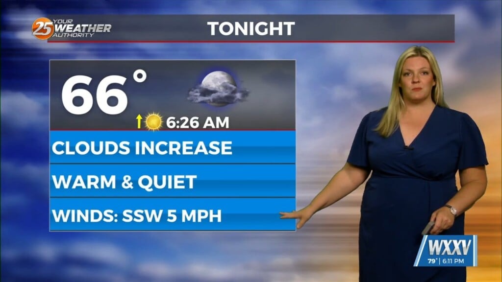
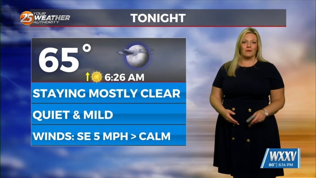
3/9 -The Chief’s “Warm & Muggy” Thursday Morning Forecast
Isolated t-storms will continue this morning with partial sunshine moving in this afternoon. Concerns overnight will be the prospect of locally dense fog forming. The near record heat will continue to be driven by a strong mid and upper high pressure parked over the Gulf South with a stationary front in the vicinity.
Persistent onshore flow will keep humidity levels elevated, and this high humidity will work in conjunction with light boundary layer winds and temperatures cooling below the cross-over values in the mid-60s to induce fog development tonight. Some of the fog could turn dense at times. A dissipating frontal boundary extending across the Pine Belt region of southern Mississippi and southern Alabama will serve as a focus for widely scattered weak shower this afternoon. Fortunately, the severe threat is minimal due to a lack of favorable wind shear.
Friday into Friday night will see a shift in the ongoing warm and humid pattern that has dominated the region the past several days. A fast moving northern stream trough pushing from the Midwest into the Northeast will help to weaken the high pressure that has been dominating the region. A weak frontal boundary will slide into the area on Friday, stall along the coast, and then quickly dissipate by Friday night. Although this front will not be strong, enough drier air will feed into the region to lower dew-points into the 50s over the northern half of the area by Friday afternoon. Some weak cold air advection will also occur, and this will allow highs to cool slightly into the upper 70s and lower 80s for the weekend.


