3/6 – The Chief’s “Warmer Air Mass Returns” Monday Morning Forecast
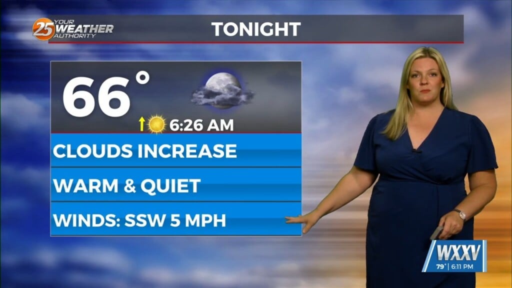
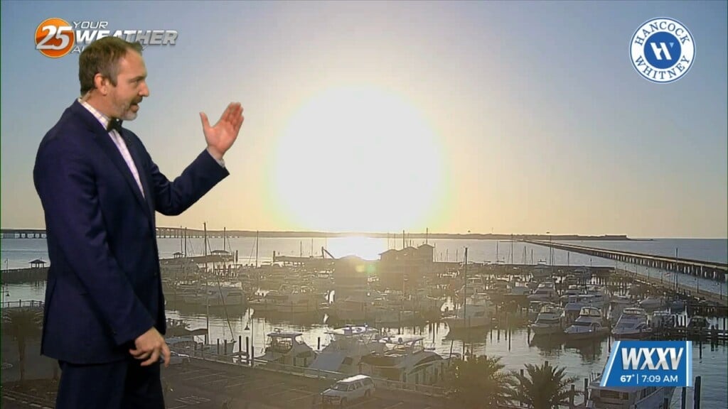
A warm front moving north this morning over south shore locations could bring enough vertical depth to get some showers out of it today…otherwise just an increase in overall moisture. Model solutions are split with fog production this morning. But conditions show very high RH air just offshore that is being brought northward. A cloud deck has started developing as well and moving inland over S. Mississippi this morning. These conditions should appear once again tonight and dew points and ambient temps could be within a degree or two of the water temps causing some fog as well at the coast as well as inland. We will issue a dense fog advisory this morning for these areas mentioned.
The heat will be on once again over the coming days ahead of a backdoor front that will advance toward the area Tuesday night into Wed and stall just NE of the area maybe with some filtering of this air into the most NE sections Wed. This boundary will waver over the coming days and this should make for some interesting forecasting for fog conditions. We will take this on a night to night basis though. Another cold front will approach from the NW Friday and stall as well before pivoting just north of the area as it feels the tug of the next front. But this should give a good portion of the area at least some measurable rainfall. The next cold front moves into and possibly through the area Sunday into Monday. At the moment, this is too far out to provide anything concrete as far as strong/severe or rainfall amounts.


