3/13 – The Chief’s “Much Colder air Mass” Monday Morning Forecast
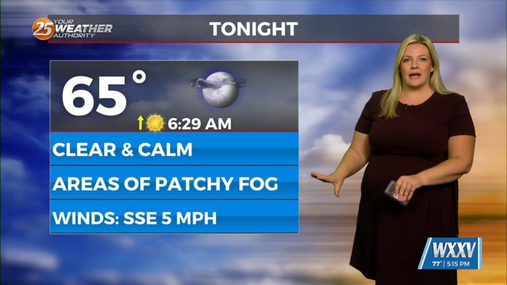
As last night’s cold front continues downstream, cold air advection will continue to be the story, along with decreasing clouds later in the afternoon from northwest to southeast. Temperatures today will actually be below climo for the first time in a while, so it may seem a bit chilly out there, especially going into the evening when temperatures begin to drop into the 40s and 50s respectively. Tonight, temperatures may be a bit on the tricky side as northerly winds decrease to the 5-10 mph range. This may be just enough to keep the low level mixed and limit radiational cooling despite the clearing skies. Even then, upper 30 across the cooler spots of interior South Mississippi and generally 40s elsewhere are in the forecast.
High pressure will remain in control through the remainder of the short term period. This will continue to allow surface winds to decrease across the region and temperatures on Tuesday will again likely remains a few to several degrees below climatological norms for this time of year. A dry northwest flow will continue across the area into the start of the long term period. A weak impulse tries to develop over the Red River Valley and moves toward our region Tuesday evening and overnight. With lack of meaningful moisture return over the region, only expect perhaps an uptick in cloud cover, which may end up helping moderate minimum temperatures on Wednesday morning. Going into midweek, upper level ridging beings to take shape over the central US and eventually over our region by late Wednesday and into Thursday.
Models are in agreement in terms of timing and intensity of a cold front moving through the region Friday. As for severe weather, there are hints that instability and shear will be present. The finer details still need to be ironed out with several days to go. The signals are there for at least some severe potential on Friday.


