2/23 - The Chief's "Record High Temperatures Again" Friday-Eve Morning Forecast
A weak frontal boundary will reside pretty close to our northern area border today. With the closer proximity to the boundary, the surface pressure gradient…
A weak frontal boundary will reside pretty close to our northern area border today. With the closer proximity to the boundary, the surface pressure gradient…
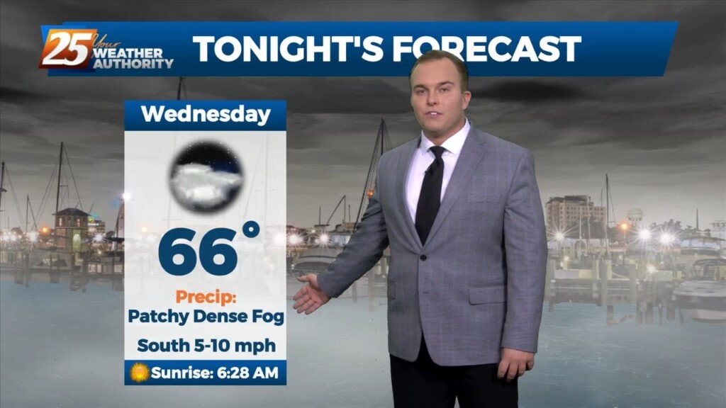
Sea fog is beginning roll in again. A Dense Fog Advisory is in effect until 10 AM tomorrow morning for Hancock, Harrison, and Jackson County. Look for…
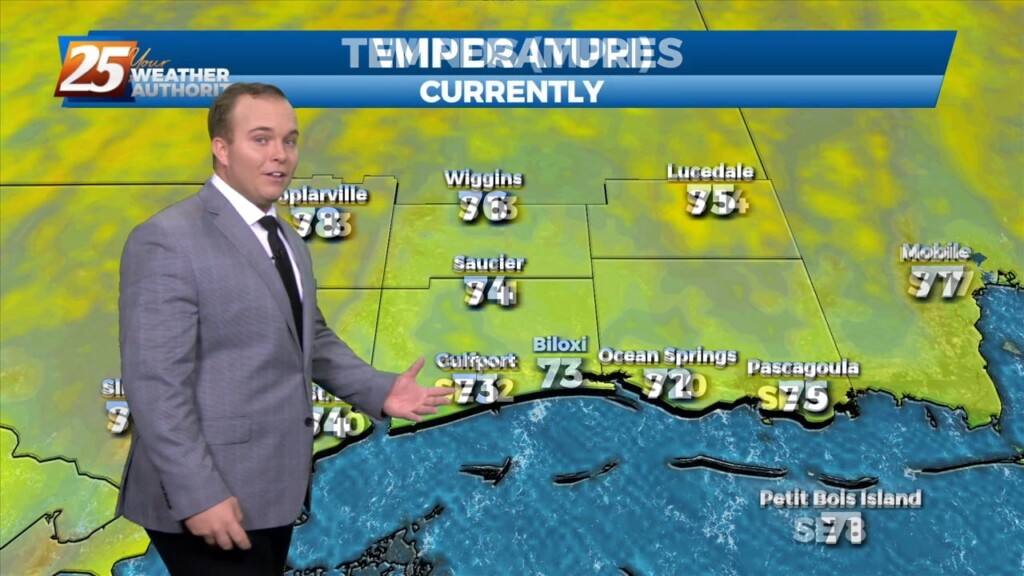
Temperatures remain very warm for the end of February! Winds are beginning to back off across the area. Overnight, there will be the potential…
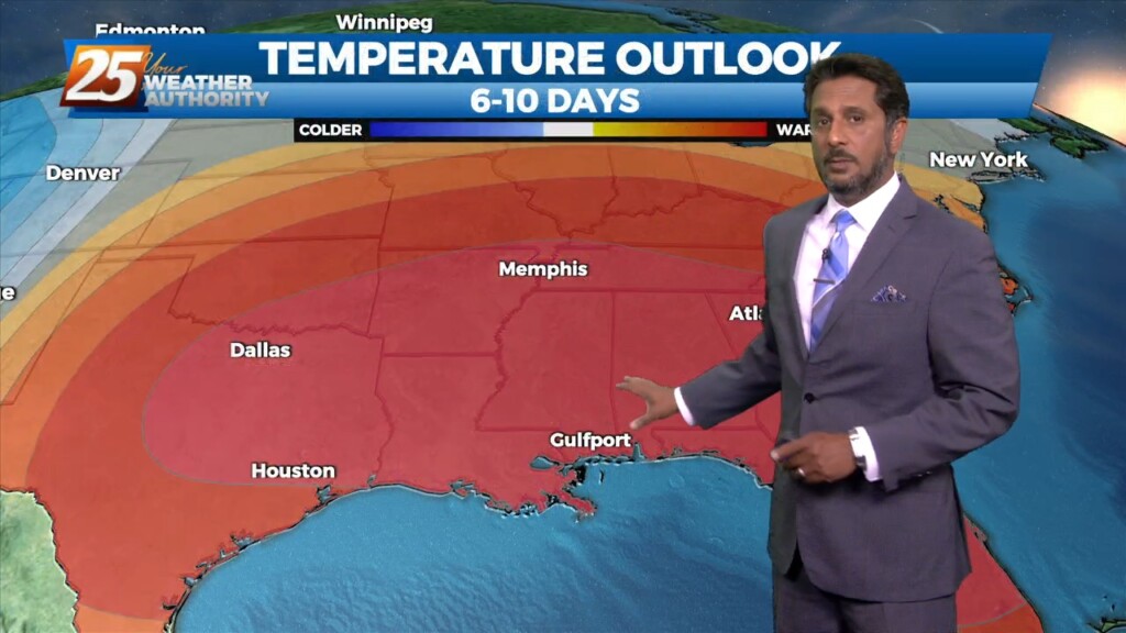
Today our area will reside between a strong upper level high pressure over the western Caribbean and southwest Atlantic and a strong upper level…
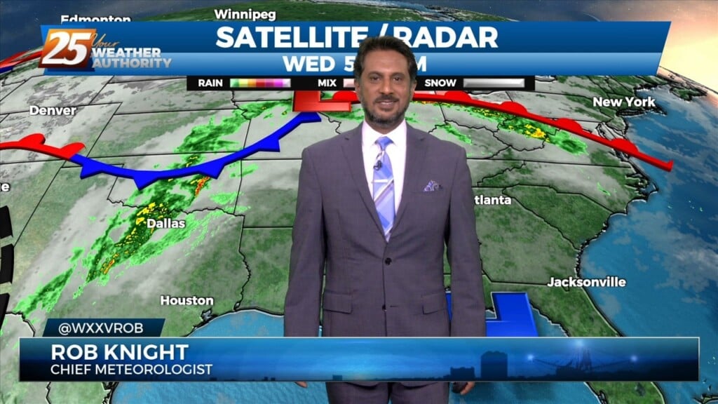
Early this morning some sea fog has overspread portions of the Mississippi Gulf Coast dropping visibility down to around half a mile or so over…
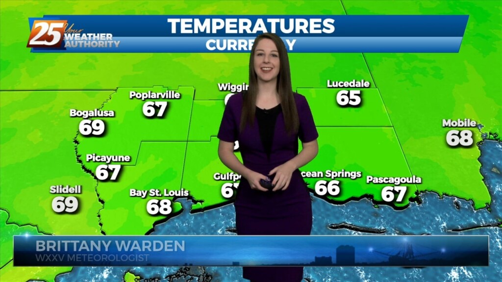
Well-above normal temperatures continue as we close out Mardi Gras with high temperatures in the low 80s across much of the area. Low stratus that developed overnight…
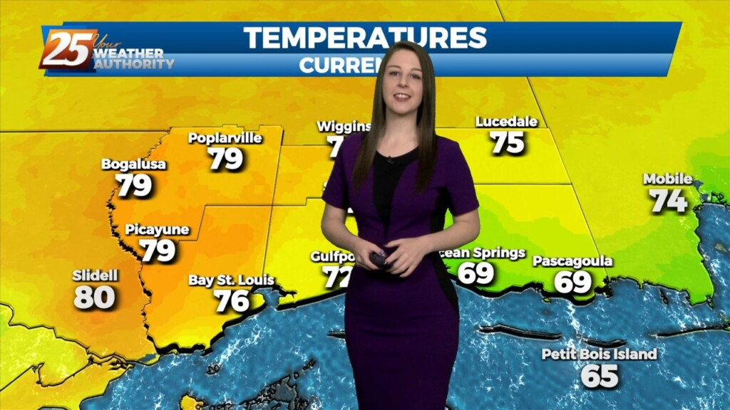
Well-above normal temperatures continue as we close out Mardi Gras with high temperatures in the low 80s across much of the area. Low stratus that developed overnight and held…
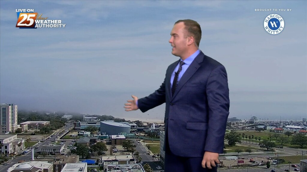
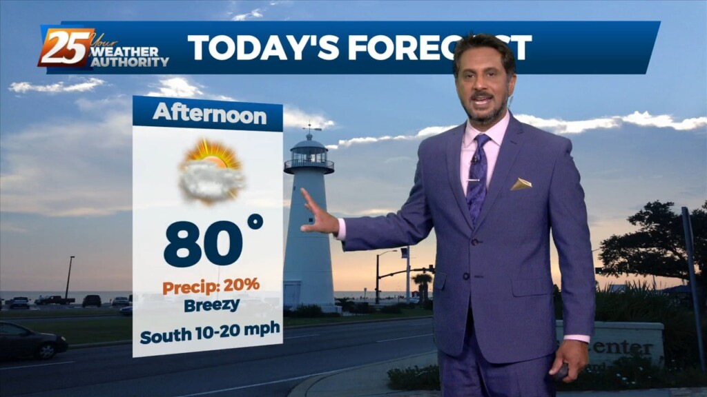
You could not ask for better conditions for Mardi Gras Day. Temperatures will max out around 15 degrees above seasonal averages this afternoon. Breezy conditions and…
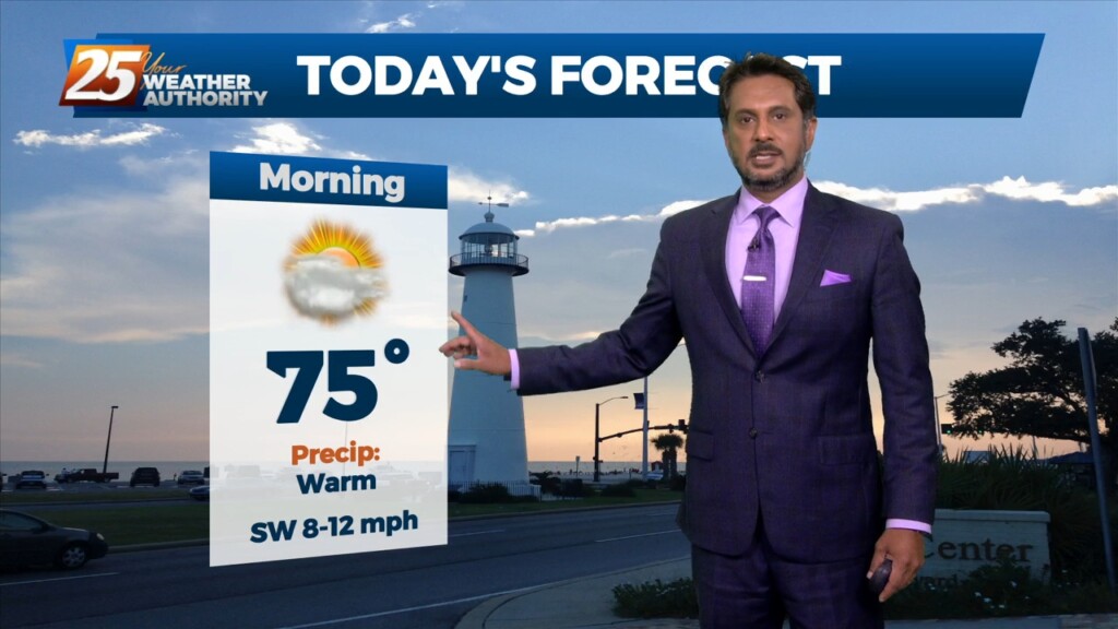
Additional cloud cover expected today across the region as low level winds continue to advect a very rich airmass over the region. High pressure will continue…
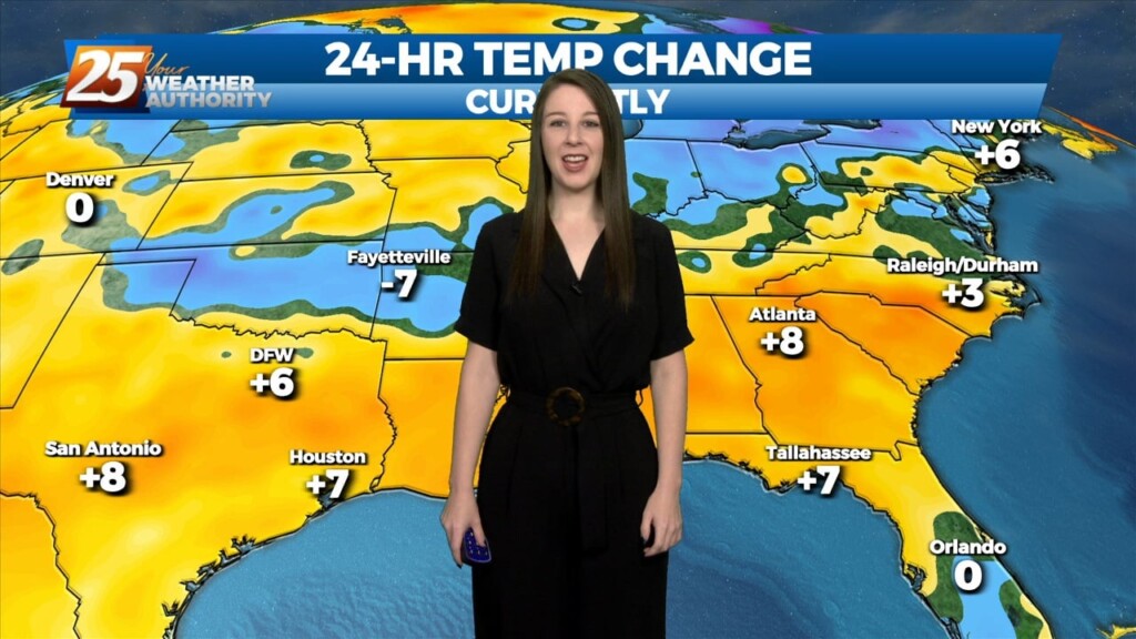
After a quick warm up into the upper 70s, scattered clouds from the west and increasing southwesterly winds have caused temperatures to moderate. Nonetheless, high temperatures still exceeded deterministic…
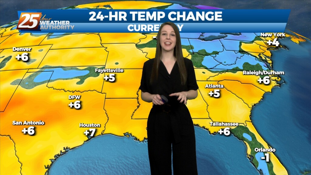
After a quick warm up into the upper 70s, scattered clouds from the west and increasing southwesterly winds have caused temperatures to moderate. Nonetheless, high temperatures still exceeded deterministic…
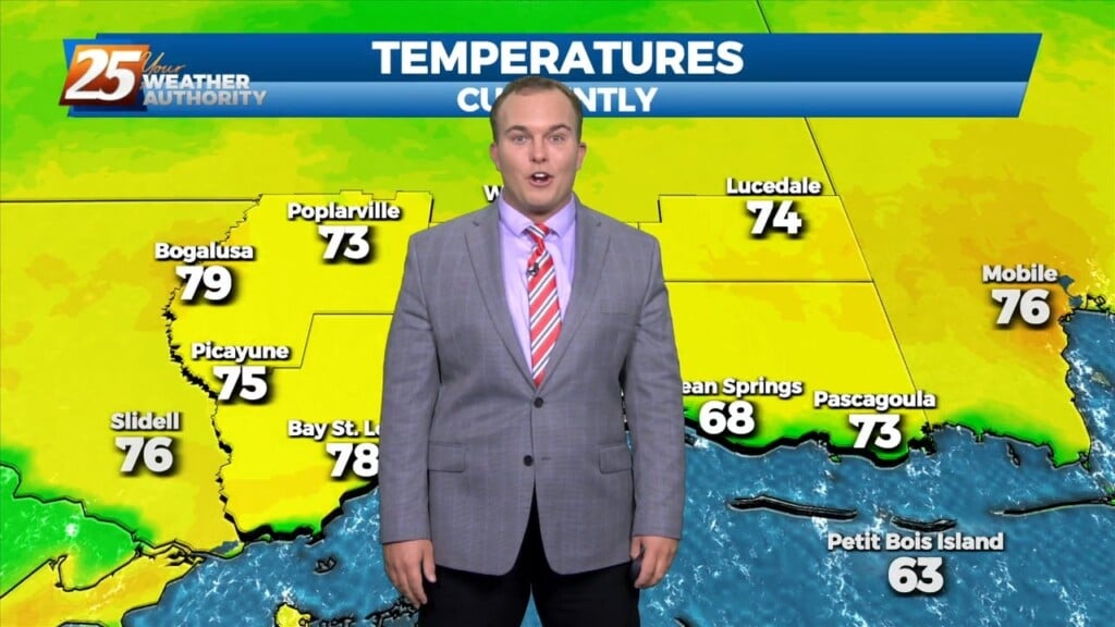
The warmth is here, and Lundi Gras and Mardi Gras look to have stellar conditions! Clouds are on the increase through the rest of this…
Today is a continuation of a steep temperature moderation period that started yesterday as a strong upper level high pressure builds in over the Gulf…
The week has ended on a cold note across South Mississippi. Elevated winds will back off some tonight. Clouds will thin and temperatures will tumble overnight. Wind chills will…
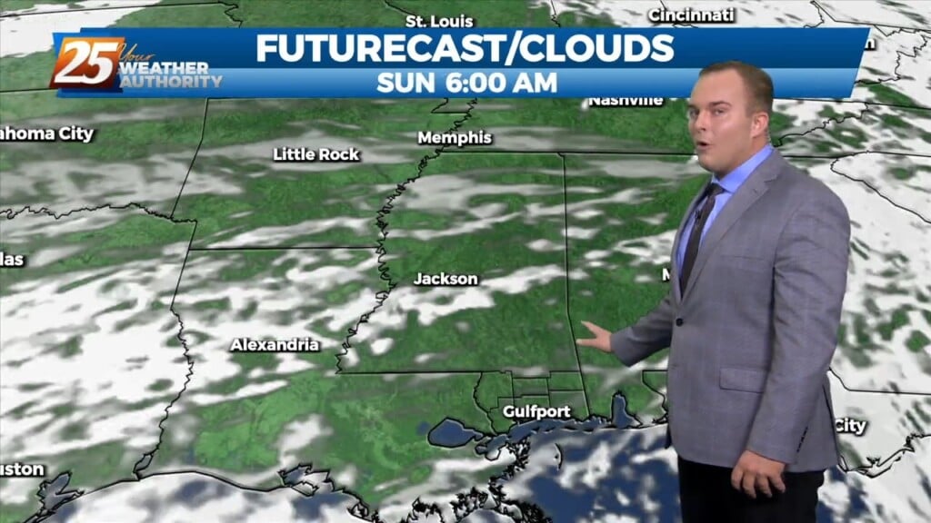
The cold front has made it through our area bringing with it clearing skies, gusty winds out of the north, and colder temperatures. Clouds will…
Cold front has moved through the area and NW winds are bringing the cool dry air in. Breezy conditions will ease late today leading to a…
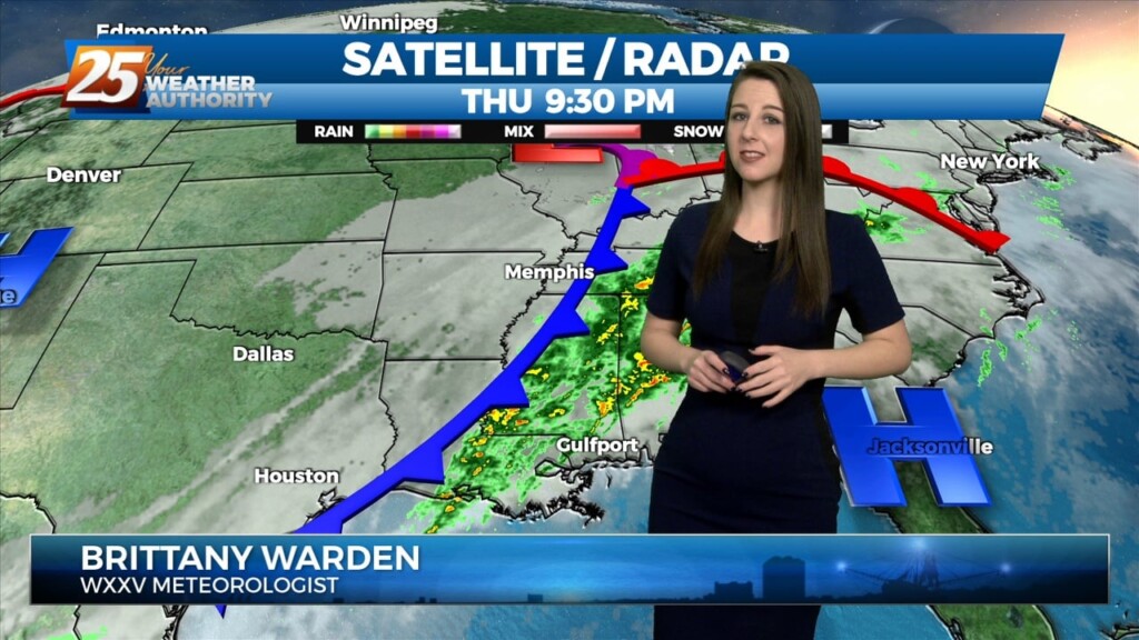
As far as threat timing is concerned, the tornado threat peaks this afternoon ahead of the cold front when SRH and surface-based instability is maximized while with…
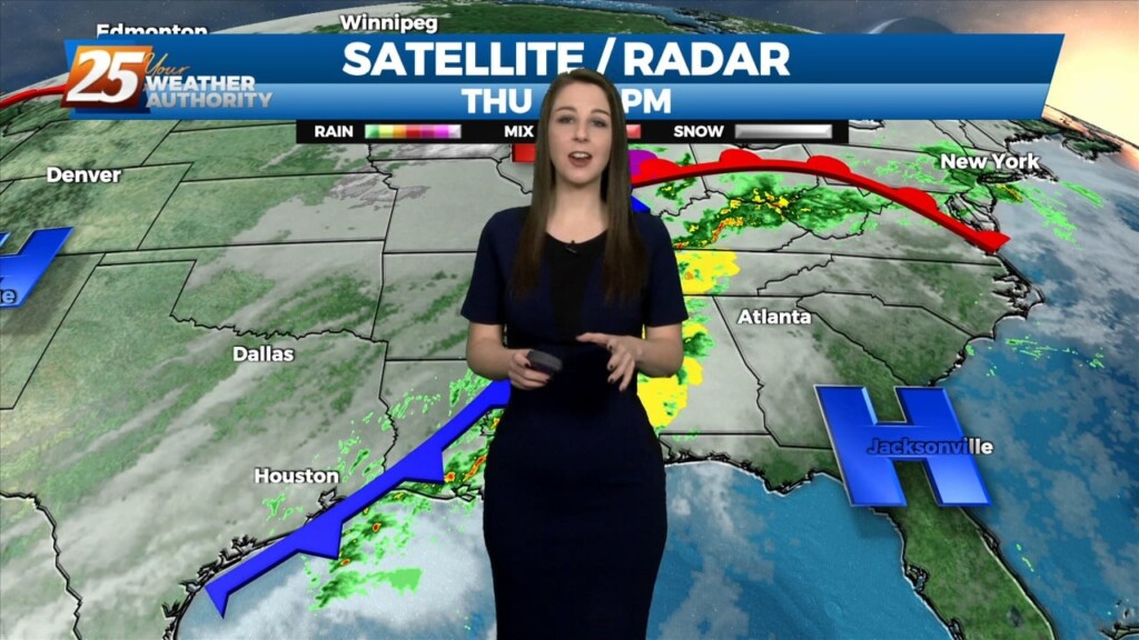
As far as threat timing is concerned, the tornado threat peaks this afternoon ahead of the cold front when SRH and surface-based instability is maximized while with…
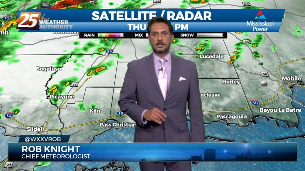
The threat for severe weather will be in the area this afternoon/evening with a cold front approaching from the west. Severe weather variables are not remarkable…
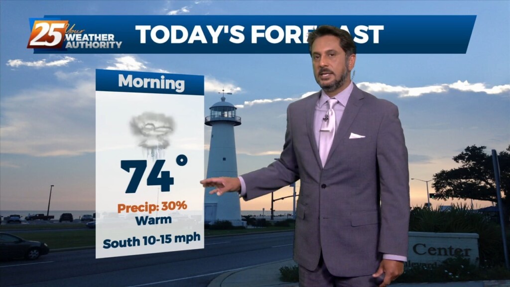
The old stalled cold front that retrograded west has primed the area with warmth and instability. But there is still a weak cap in the low levels…
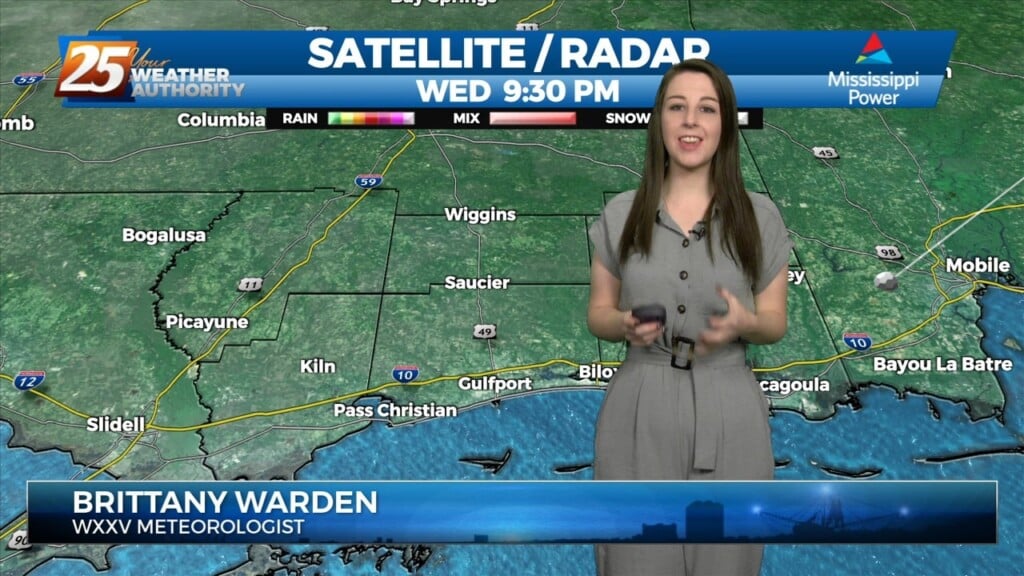
Warm and moist air advection continues as we stay ahead of the trough over southern Colorado. The advection as well as isentropic lift has created some showers…
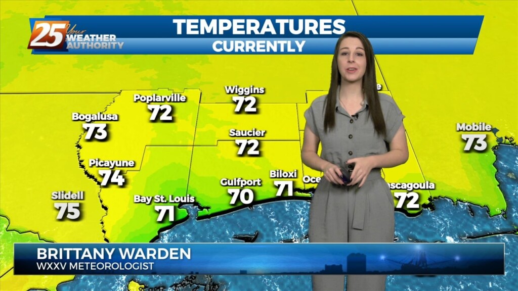
Warm and moist air advection continues as we stay ahead of the trough over southern Colorado. The advection as well as isentropic lift has created some showers across the…
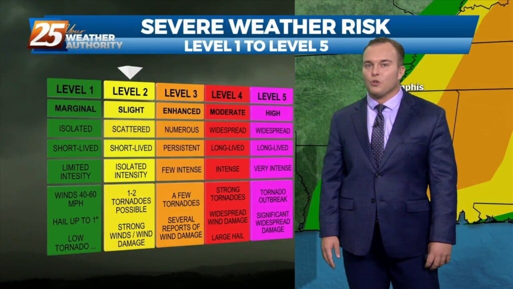
The warm and humid pattern continues across South Mississippi. Temperatures will be in the 70s this afternoon under predominantly cloudy skies, with breaks in the clouds…
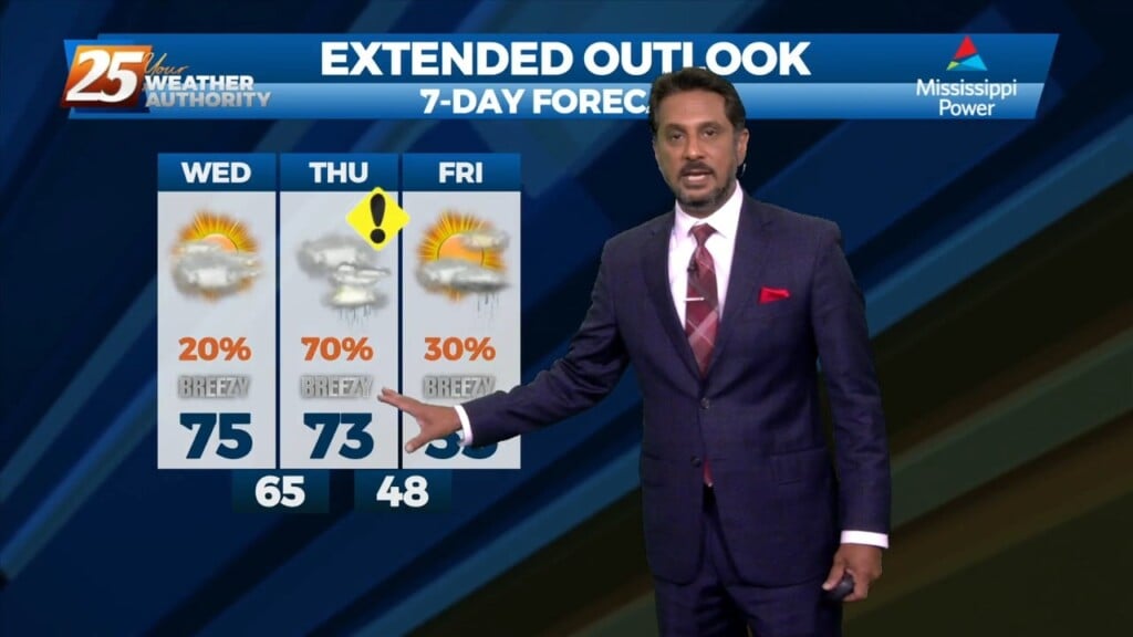
The cold front that was moving toward the area yesterday slammed the brakes and stalled to the west. The next front will actually make it through…