1/30 – Brittany’s “Muggy” Monday Night Forecast
Quite the dreary start to the day but once fog burned off temps torched out with mid to upper 70s. Along and north of the stalled stalled front which was located near Baton Rouge to Hattiesburg to north of Mobile stayed cloudy and even foggy for awhile thus struggled to warm up as much.
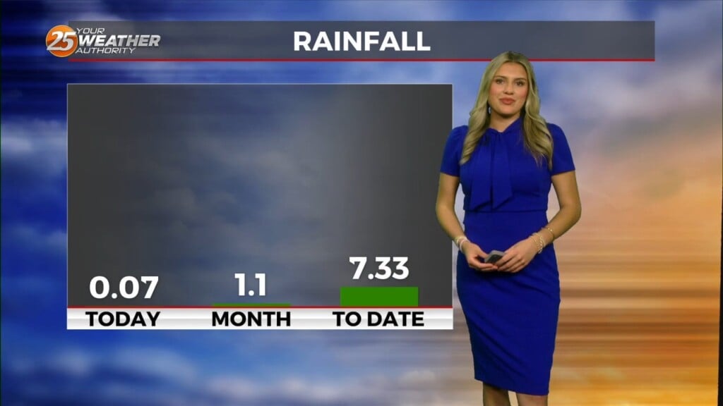
Main concern tonight is the fog. Overall the setup is quite favorable for dense fog especially over the marine areas and along the coast. Warm moist boundary layer over cooler near shore waters, combining with a boundary that will very slowly drift south is providing a favorable environment. Add the rainfall from yesterday and the moisture that will be able to pile up along the front fog will not have great difficulty developing quickly this evening. Farther inland is more in question. As you get farther northwest of the front cooler slightly drier air and even some mixing should help keep the dense fog potential down. With that we have issued another Dense Fog advisory for areas along and southeast of a line from Pierre Part to Hammond to Bogalusa. Northwest of that line fog is possible just not quite sure it will be dense.


