1/31 – Jeff’s “Dense Fog Advisory” Tuesday Night Forecast
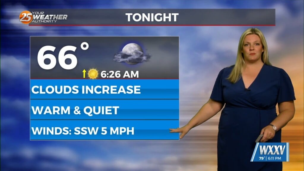
Fog is settling in yet again across our area. In addition to that, a front will make its way through South Mississippi tonight. Winds will turn from light and variable to a light northeasterly flow on the cold side of the boundary. Patchy fog will be able to lift to a low cloud deck in areas that receive some winds. Temperatures will be cooler to start Wednesday as compared to this morning.
The front will not make it far past our area. Skies will remain cloudy through much of the day tomorrow with winds will out of the northeast around 5 to 10 MPH. The boundary will retreat northward Wednesday night. This will allow more moisture to return into our area through the night.
Another system will be entering the picture Thursday. Steady rain will be favorable for areas north of our area. Timing and placement of thunderstorms is dependent on when the warm front drifts north and how far it does so. Our area is currently under a Marginal (Level 1 of 5) threat for severity. If our area can get sufficient daytime heating, the potential for strong thunderstorms will be present in the afternoon and evening. Following the front, there is 40% chance of showers Friday morning. Then, rapid clearing will take place around the middle of the day. Temperatures will be notably colder to begin the weekend.


