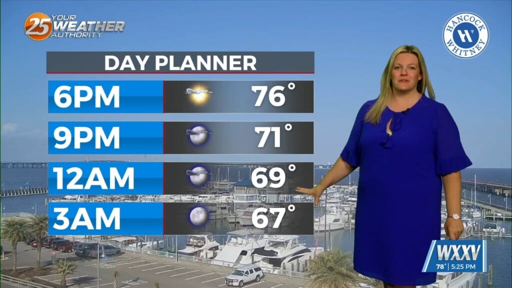
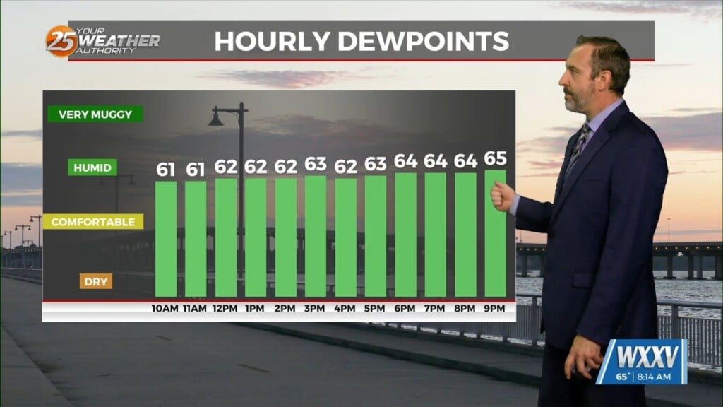
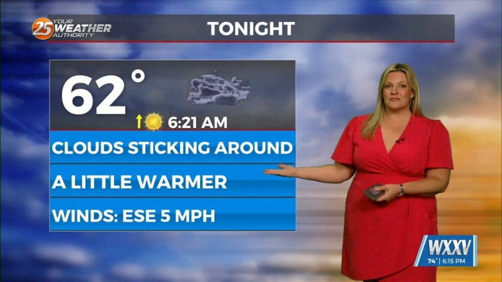
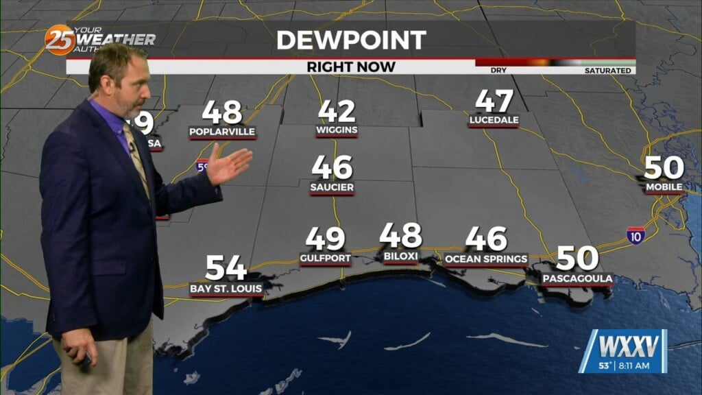
2/1 – Brittany’s “No Major Changes” Wednesday Evening Forecast
Upper level analysis shows a ridge centered just south of Florida, a broad trough over the northern half of the country east of the Rockies and a closed low south of Arizona. That low will open up as it gets picked up and absorbed by the broad trough Thursday into Friday. This process will take the base of that low right along the northern Gulf Coast Thursday night through Friday. The cold front that stalled across the CWA recently will finally push offshore as the trough moves through. While all this takes place, a plume of Gulf moisture will surge northward right ahead of the trough. Isentropic lift will enhance precip development and result in a swath of mostly light to moderate rain across the Gulf Coast. Uncertainty is probably greatest in terms of forecasting where the streak/s of heaviest rain will be. When looking at CAMs and medium range models, it seems to be pretty much split 50/50 with some models showing most of the highest QPF over central LA and MS while the others show that more rain over southeast LA and southwest MS. The good news is that whether the CWA gets the most rain or not, overall QPF amounts don`t appear to be particularly high. Even 24 hr ensemble max values indicate only up to a few inches. Where it does matter mostly is in terms of river forecast. If we see the higher in rain amounts, local rivers will probably go right back up into minor/moderate flood stage range. If not, they`ll stay where they are now and eventually back down below flood stage. One thing that models do seem to agree on is timing. Heaviest showers and thunderstorms should be late morning through the afternoon hours. Lighter showers will likely linger through the overnight hours, but that activity shouldn`t be impactful other than keeping the roadways wet. Until the rain starts, will probably still be impacted by lower visibilities from fog. In recent days, 52 degree air temp seems to be the deciding factor on fog density. Based on that and forecast lows tonight, most of the impactful fog should be along coastal areas of the CWA.


