2/6 – Brittany’s “Strong Start To The Workweek” Monday Night Forecast
Tonight through Wednesday morning… Upper level ridging will dominate the pattern for the next couple of days. Southerly surface winds will help to advect warm air and more moisture back into the environment. Weak upper level divergence during the daytime hours tomorrow will help enhance some lifting as well. As a result, looking at the models, a shower or two could be possible during peak daytime heating hours tomorrow, mainly near the LA or MS coastal areas. A lightning strike or two is not likely, but could be possible later in the afternoon tomorrow.
NBM temperatures were running low compared to the general model consensus. And the warm air advection will help with keeping temperatures a little warmer than guidance, despite the cloudiness over the next few days. So, temperatures were bumped up 1-2 degrees above the NBM to be more in line with model guidance. Generally, highs will be in the mid to upper 70s tomorrow and Wednesday.
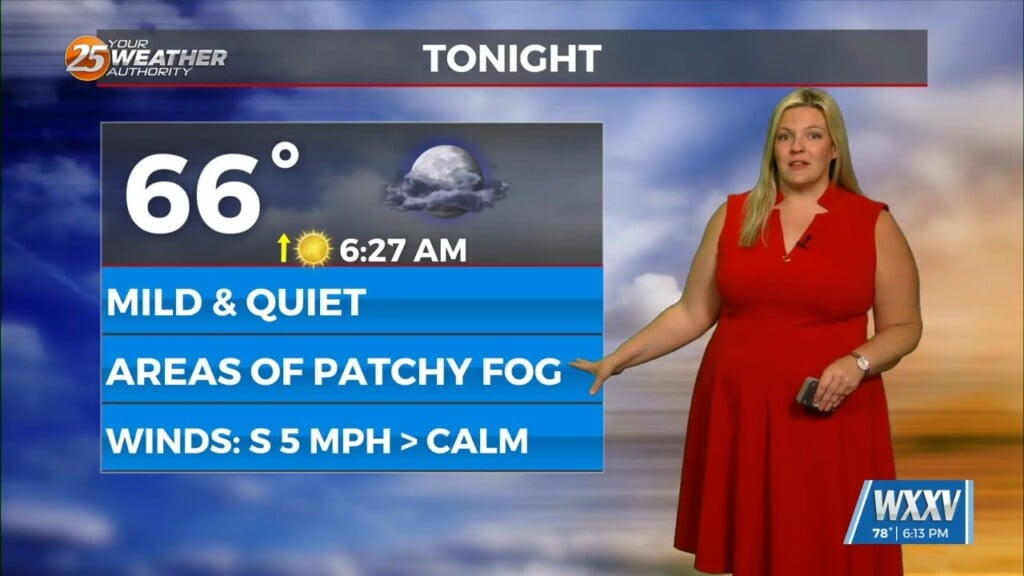
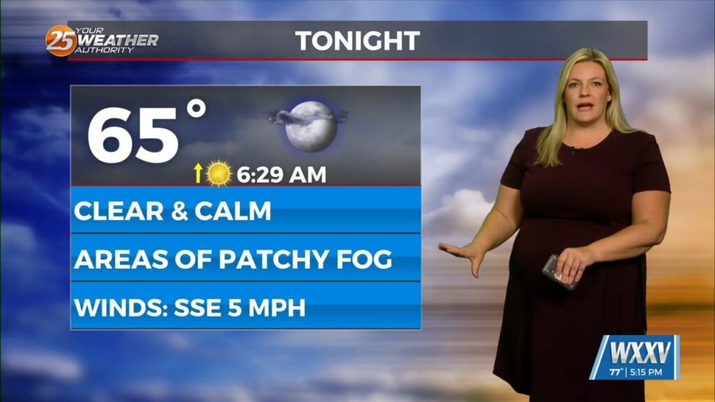
Fog is not expected to be a big issue tonight due to conditions being a little drier and moisture hasn`t been completely reintroduced completely yet. Some light patchy fog will be possible along the LA and MS coast. Dewpoints will be higher on Wednesday, though, thanks to the persistent southerly flow. So, dense fog will be likely on Wednesday, and this will be looked at in more detail tomorrow. If the winds are too strong Wednesday morning, this could diminish the fog chances, depending.


