2/2 - Brittany's "Wet & Cold" Thursday Night Forecast
Main forecast problem is rain chances tonight and then morning lows Saturday morning. Today was just another dreary day across much of the area thanks to the…
Main forecast problem is rain chances tonight and then morning lows Saturday morning. Today was just another dreary day across much of the area thanks to the…
Main forecast problem is rain chances tonight and then morning lows Saturday morning. Today was just another dreary day across much of the area thanks to the stalled boundary…
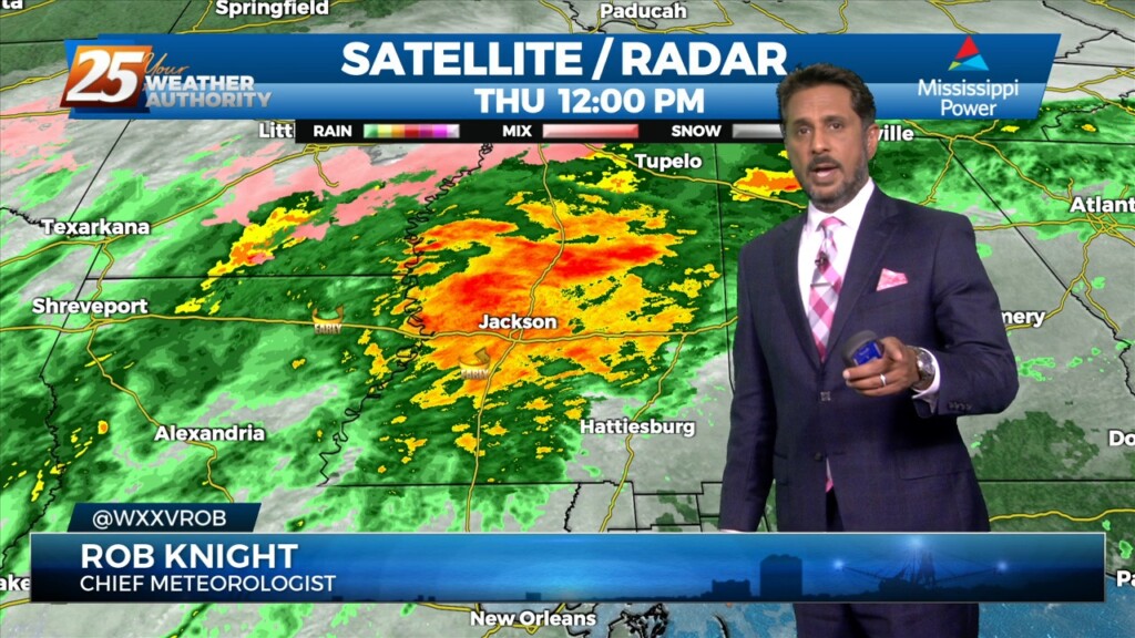
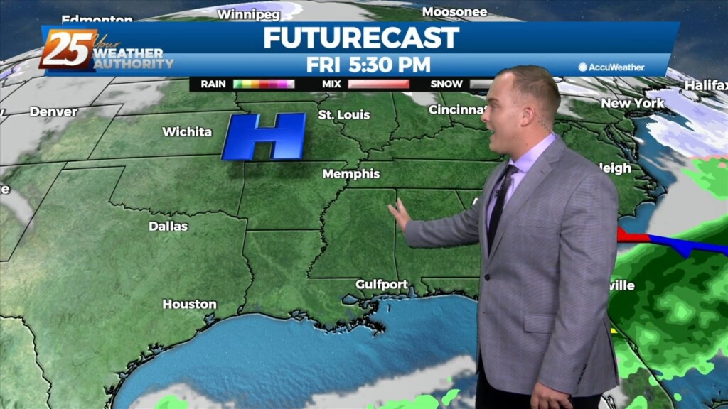
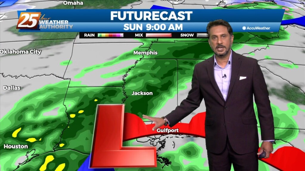
Areas of rain including a few t-storms will move in this afternoon as a low pressure and attendant cold front lifts NE. The low pressure will move…
Finally seeing the models come into solid agreement on every variable and this has caused some sudden moderate changes in severe wx and rainfall risk levels…
Upper level analysis shows a ridge centered just south of Florida, a broad trough over the northern half of the country east of the Rockies and a…
Upper level analysis shows a ridge centered just south of Florida, a broad trough over the northern half of the country east of the Rockies and a…
The gloom continues. Northeasterly flow behind a front is providing for a cooler feel today. Cloudy skies will continue through the rest of the day and tonight.…
The front has made it to the coast and now just to the south of the area. Not a lot of changes from current thinking, more…
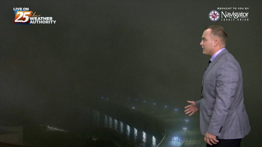
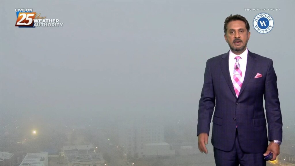
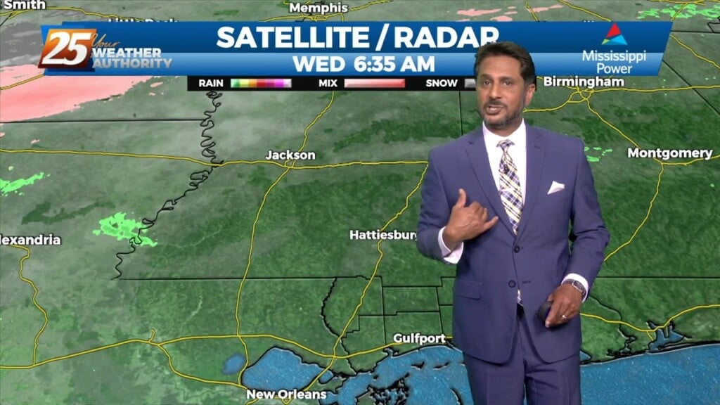
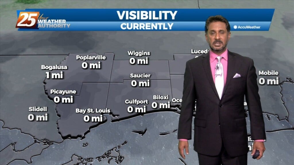
Fog is settling in yet again across our area. In addition to that, a front will make its way through South Mississippi tonight. Winds will turn from…
The gloomy pattern continues across South Mississippi. A sluggish frontal boundary is close to our area and will make some progress over the next 24 hours.…
A weak cold front overhead will slowly move to the south as fast as molasses in winter. It will take from now until just before…
A stalled cold front is just inside the NW portion of the area this morning. The front will move SE as fast as molasses in winter. It…
Quite the dreary start to the day but once fog burned off temps torched out with mid to upper 70s. Along and north of the stalled stalled front which…
Quite the dreary start to the day but once fog burned off temps torched out with mid to upper 70s. Along and north of the stalled stalled…
Fog has dissipated across most of our area. Some pesky marine fog remains along the beachfront. Some peeks of sunshine this afternoon will help add buoyancy to…
Currently there is an area of high pressure over western Cuba, and a trough extending from the Great Lakes to the central California coast are combining to produce…
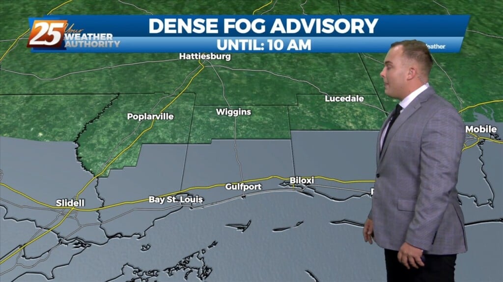
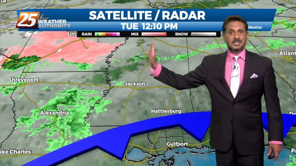
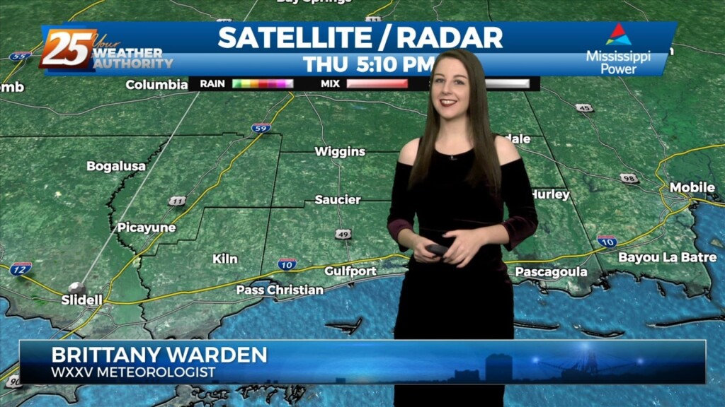
Showers coverage has diminished throughout the evening. With light southerly flow and a moist airmass, sea fog will settle in especially along and south of Interstate…
A transition to a warmer and more humid pattern will take place tonight into tomorrow as a surface ridge centered over the area today begins to shift to the…
A transition to a warmer and more humid pattern will take place tonight into tomorrow as a surface ridge centered over the area today begins to shift to the…
At the surface, high pressure was centered near the Sabine River. High pressure will slide eastward to the Carolina coast by Saturday evening. This will allow…
There is SW’erly upper flow across the local area this morning with an area of high pressure along N’tern Mississippi. At the surface, high pressure was centered…
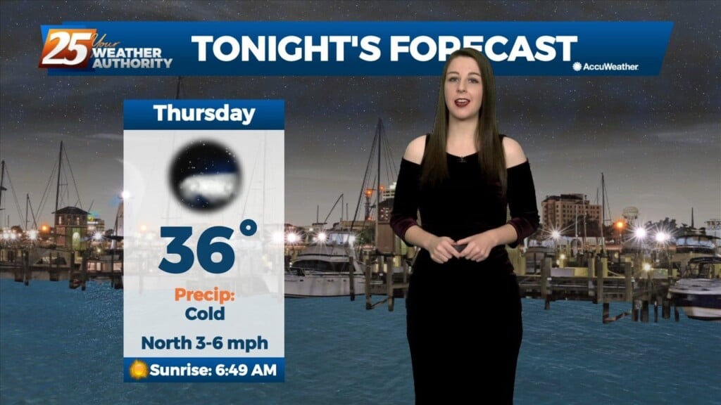
Mostly clear skies and cold temperatures will continue through the night. The only cloud cover expected will be a few high level cirrus clouds passing through on the back…
The region will be dominated by a strong surface high in the low levels, and a largely zonal flow regime in the mid to upper levels…
We are amidst a cold stretch of days to end this week. The good news for warm weather lovers is that a warming trend is in…