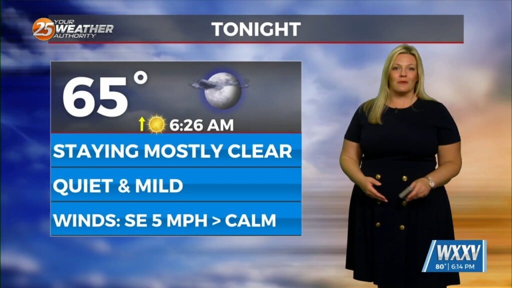
1/26 – Brittany’s “Mostly Clear & Cool” Thursday Evening Forecast
The region will be dominated by a strong surface high in the low levels, and a largely zonal flow regime in the mid to upper levels through Friday night. A very dry and stable airmass will remain in place through the period, and this will lead to mostly clear skies and a larger than average diurnal range through the period. The only cloud cover expected will be a few high level cirrus clouds passing through on the back of the strong westerlies in place aloft. Winds will also be light with the surface high over the area, and this will also support strong radiational cooling both tonight and tomorrow night. A light freeze is expected tonight over southern Mississippi with the coolest temperatures in the Pascagoula and Pearl River drainages areas. Elsewhere, lows should dip into the mid to upper 30s tonight, and some frost is likely in the morning for these areas. The dry airmass will combine with ample sunshine tomorrow to push daytime highs in the upper 50s and lower 60s. These values are on the upper end of the ensemble mean, but the aforementioned conditions should favor a warmer forecast. Fright night will see similar strong radiational cooling.
The cooler and drier conditions will conclude by the weekend as the post-frontal surface high moves off to the east. This will cause winds to gradually increase out of the southeast through the day on Saturday which will enable moisture to quickly return to the area and warm us up into the upper 60s to low 70s. Dew point temperatures will rapidly rise into the 60s by Saturday night, an increase of 25 degrees in just over 24 hours. With the low and mid-level moisture advection conditioning the atmosphere, the approach of a weak shortwave trough Sunday morning will provide sufficient atmospheric lift to enhance pressure falls and generate widespread rainfall across the area.


