1/27 – The Chief’s “Heavy Rain Potential” Friday Afternoon Forecast
At the surface, high pressure was centered near the Sabine River. High pressure will slide eastward to the Carolina coast by Saturday evening. This will allow winds to turn onshore during the day on Saturday. Might be some high clouds moving through the southwesterly upper flow today, and potentially some mid-level clouds on Saturday, but overall, should be a nice couple of days.
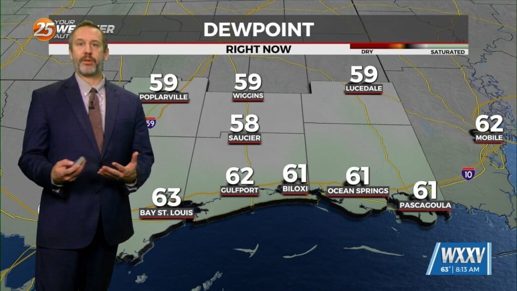
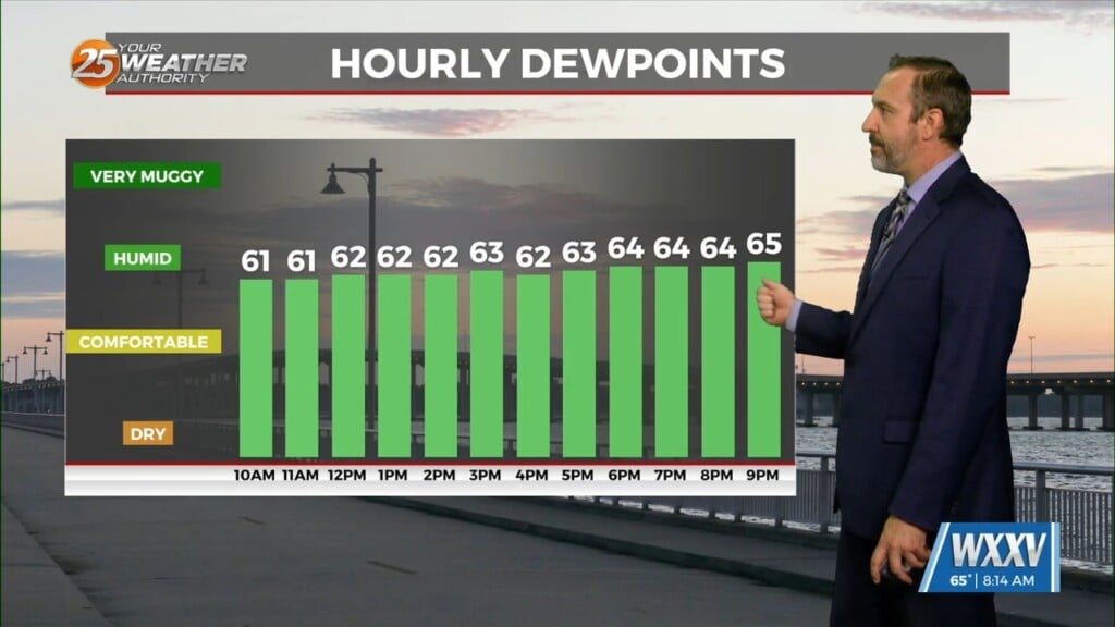
Weakness in the overall pattern will move across the Lower Mississippi River Valley on Sunday. Moisture flow will increase quite a bit especially Sunday morning. Likely to be a frontal boundary near the coast on Sunday, with 60 degree dew points struggling to make it as far north as Interstate 10. That’ll likely limit any significant strong convection to offshore or the immediate Louisiana coastline for most of the day, with the likely scenario of a rainy Sunday with a few embedded, elevated thunderstorms. Widespread rain amounts of up to 2 inches certainly I wouldn’t be a surprise with locally higher amounts if there are repeat thunderstorms over an area. Just doesn’t look to be a significant severe weather producer as instability is very limited.


