1/30 – Jeff’s “Warm and Humid” Monday Afternoon Forecast
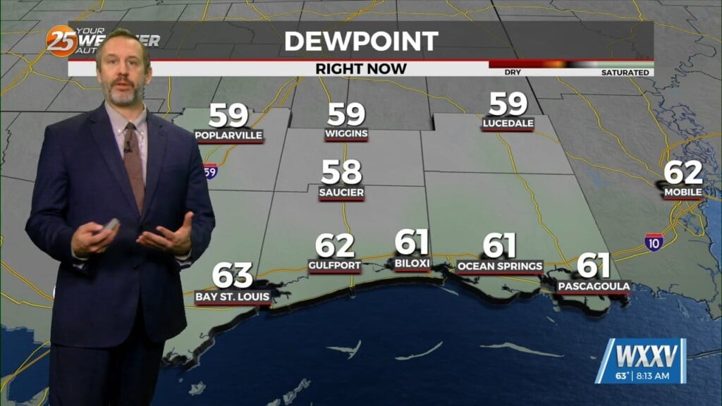
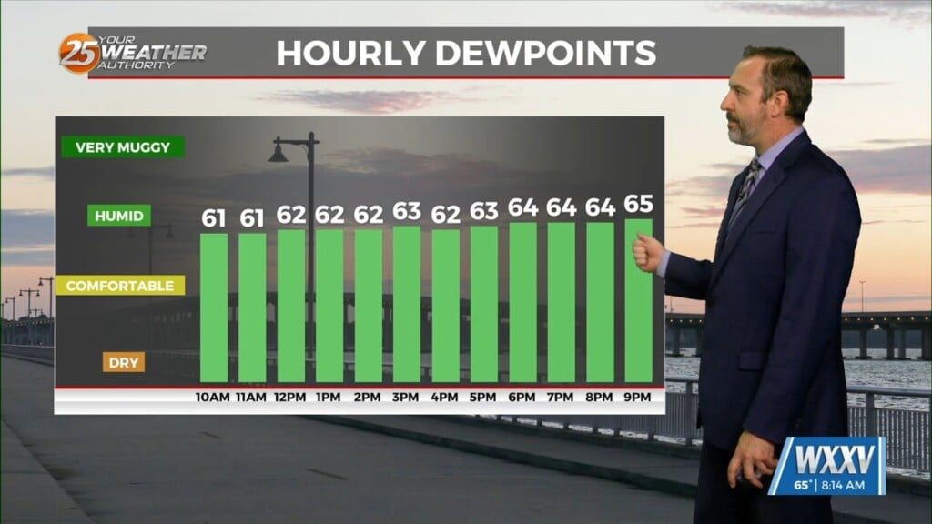
Fog has dissipated across most of our area. Some pesky marine fog remains along the beachfront. Some peeks of sunshine this afternoon will help add buoyancy to the atmosphere. That combined with plentiful moisture and a cold front to our northwest will aid in a 30% chance of widely scattered showers and thunderstorms this afternoon.
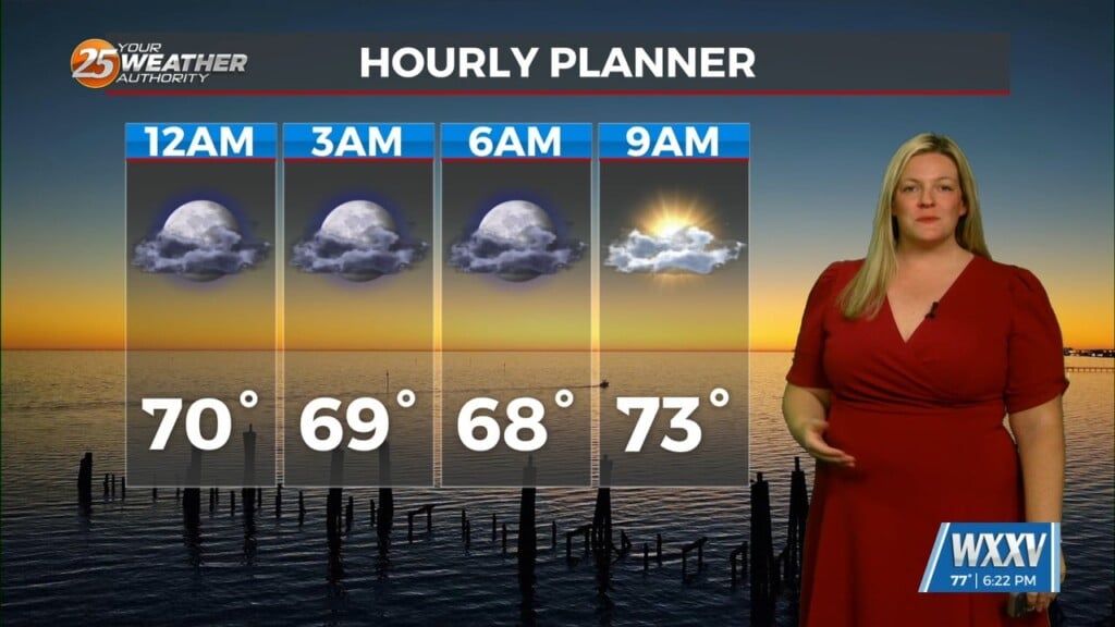
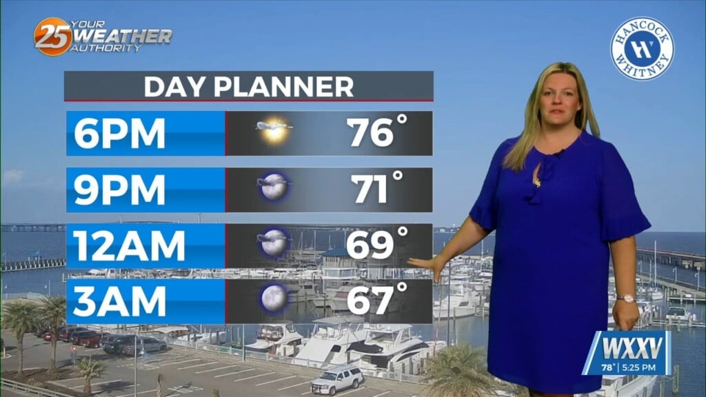
Tonight, fog will roll in again. Temperatures will be mild overnight. The pattern will be fairly repetitive for the following couple of days with morning fog and mostly cloudy to overcast skies in the afternoon. There is a 20% chance of showers early Wednesday, and again Wednesday afternoon with some daytime heating.
A more robust system will make its way out of the Four Corners Region Wednesday into Thursday. There is a 60% chance of showers and thunderstorms with the passage of the cold front. There is growing potential of strong to severe thunderstorms with this system. As we get closer to the event, timing and certainty will grow. After the passage of the cold front, there will be a brief cooldown to end the week.


