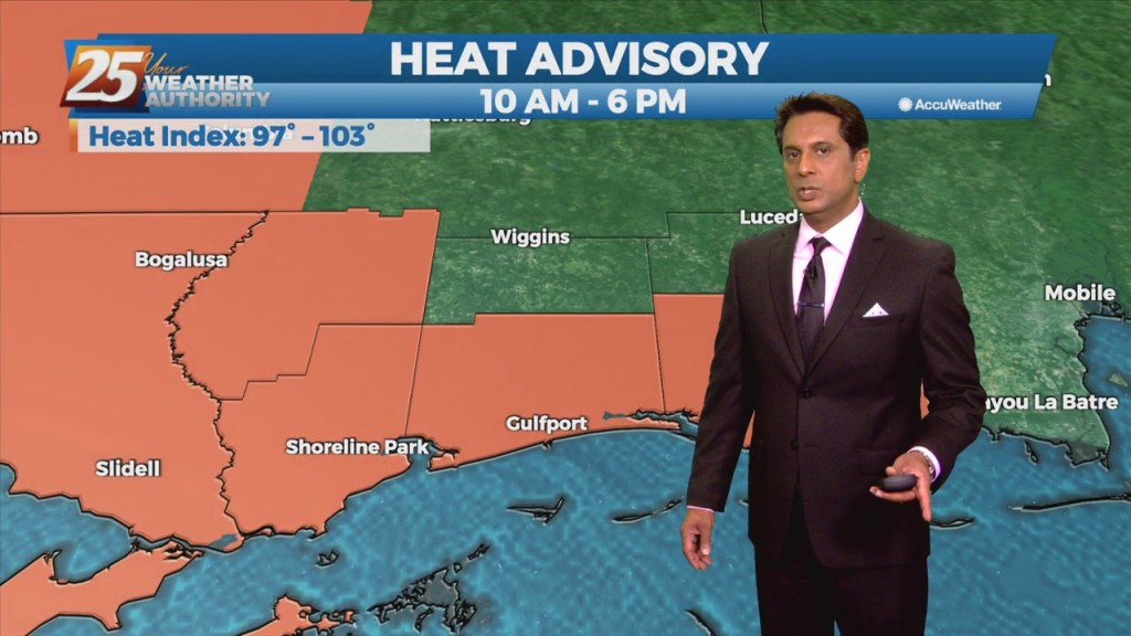
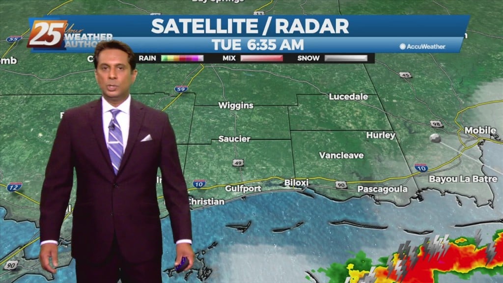
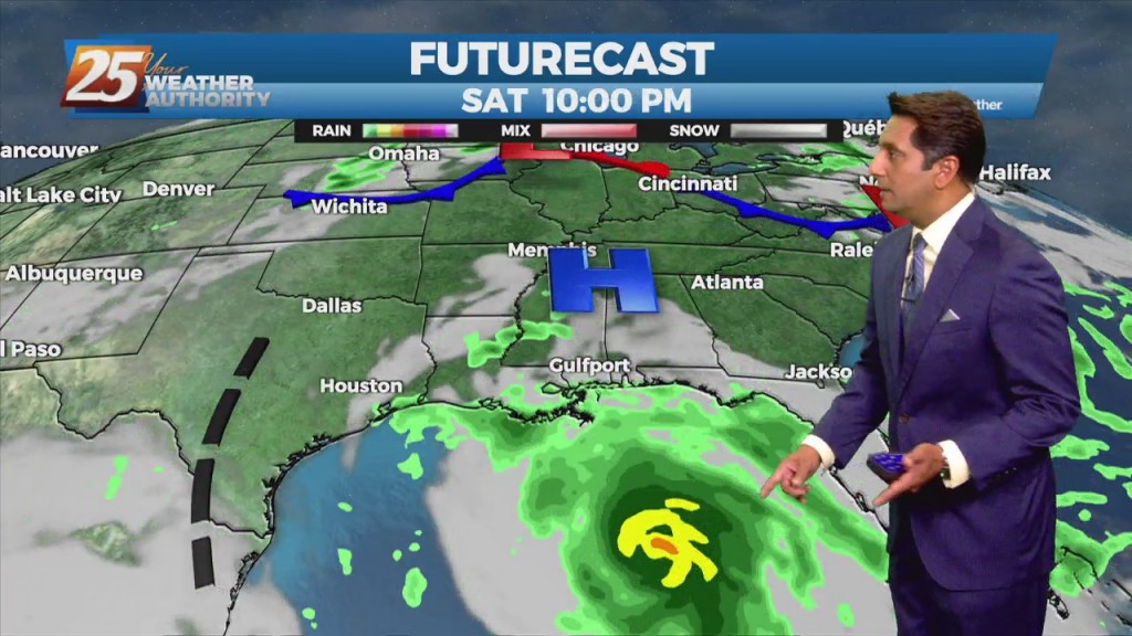
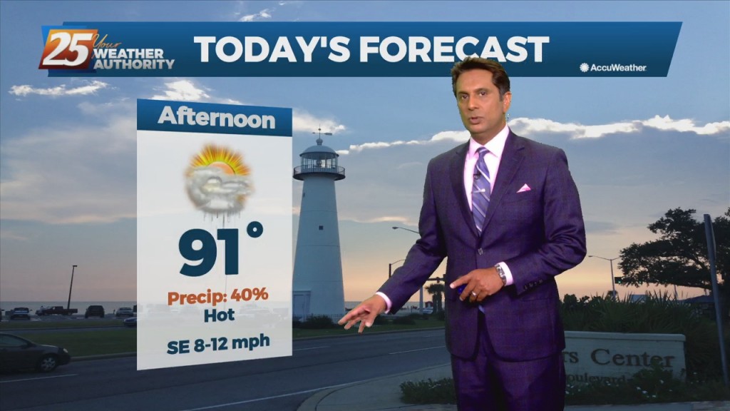
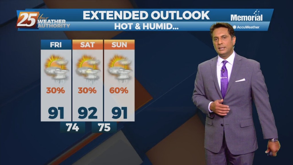
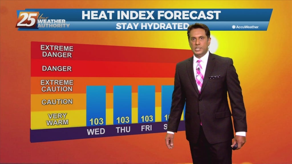
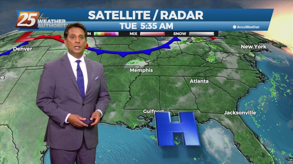
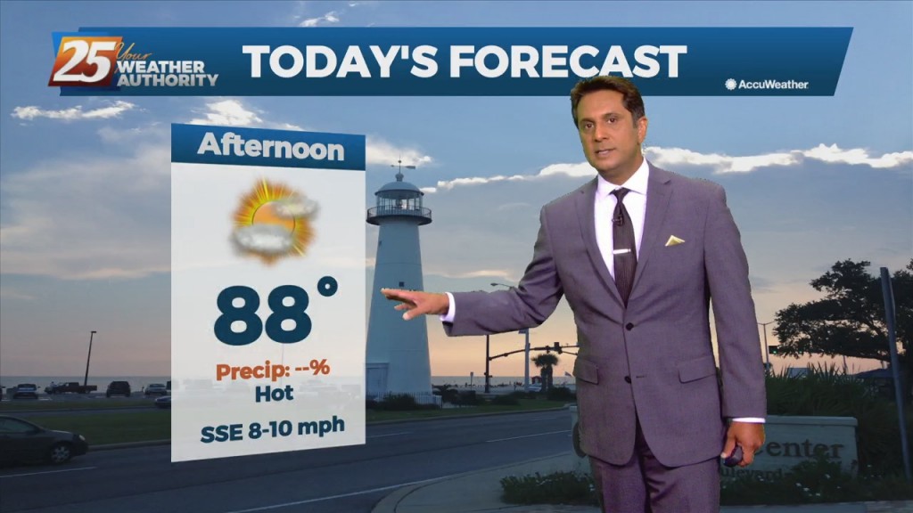
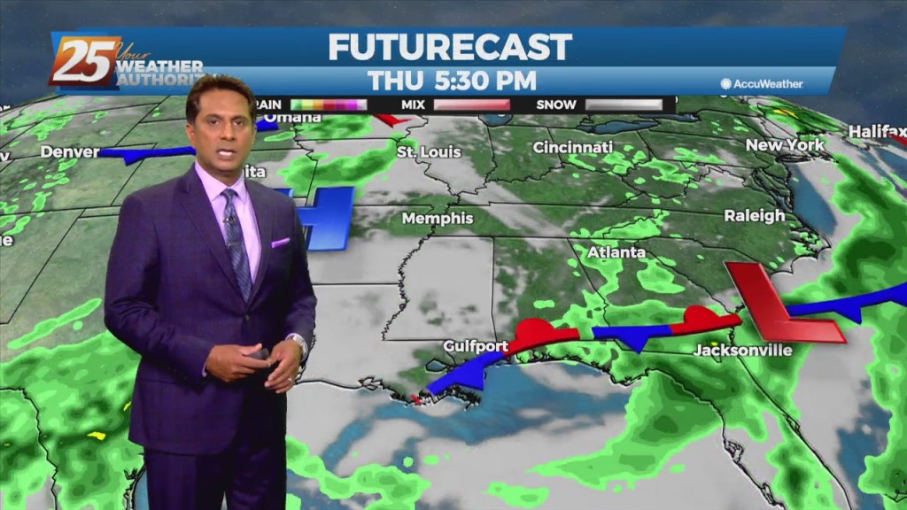
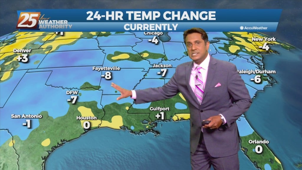
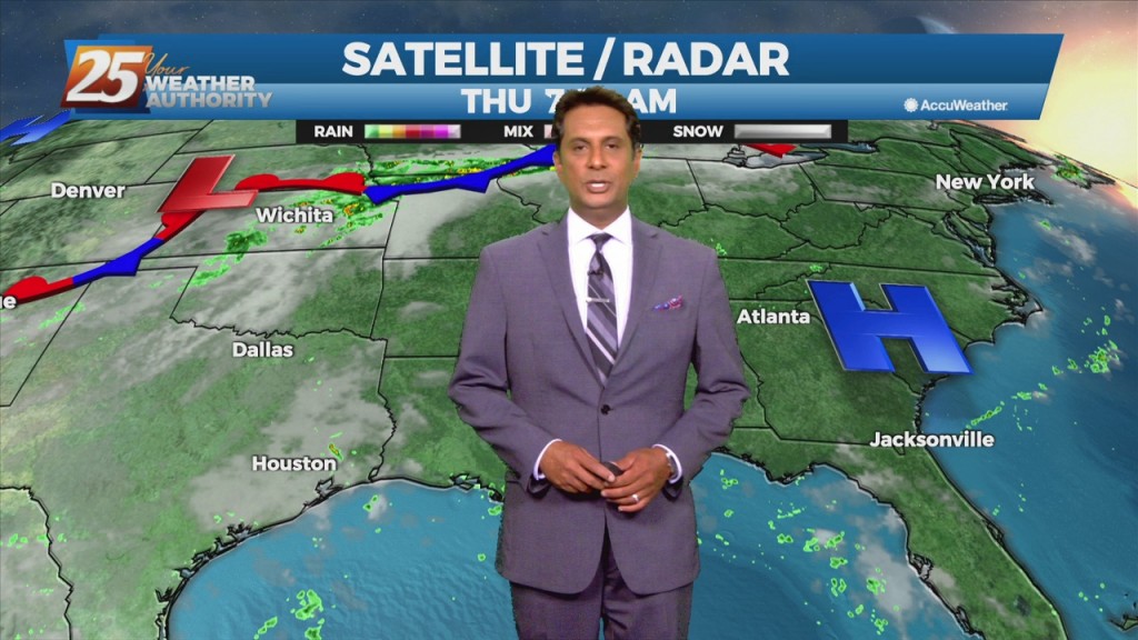
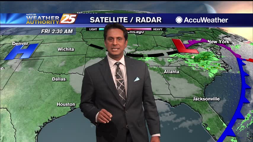
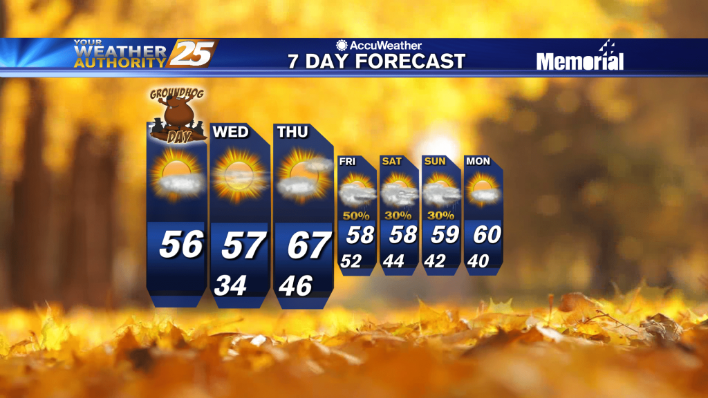
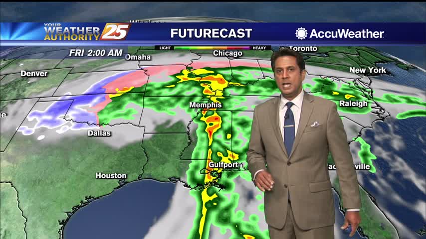
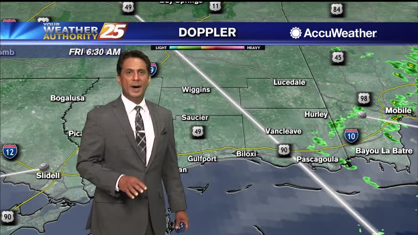
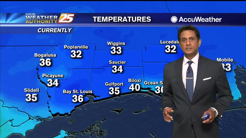
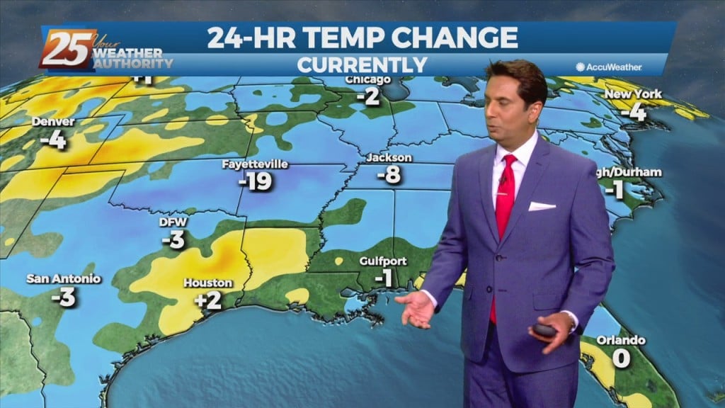
Morning News

9/1 - Rob's "September Outlook" Morning Forecast

A surface low associated with Tropical Depression Ida will continue to move NE, dragging a weak cold front into south Mississippi Thursday morning. Northwesterly flow aloft will develop across the area today between the upper level High pressure over Texas…

8/31 - Rob's "Tropical Moisture" Tuesday Morning Forecast

Trailing feeder bands in the wake of now remnant Ida will continue to drag across the area thorough today. These bands will slowly press southeastward into the Gulf through the morning and late afternoon. Despite southeastward movement of the band,…

8/18 - Rob's "Hot & Humid" Wednesday Morning Forecast

Today and Thursday, the normal summertime pattern will dominate the area. Southerly surface winds will help to advect warm air and moisture into the area, which will ultimately help with lifting in the environment. As a result, the rainfall will…

8/11 - Rob Knight's "Tracking The Tropics" Morning Forecast

Another day of afternoon shower and thunderstorm activity is on tap with precipitation chances a good deal higher overall than they were yesterday, mainly during the peak heating of the afternoon hours. This should in turn help to keep temperatures…

8/10 - Rob's "Elevated Heat Index" Tuesday Morning Forecast

The normal summertime pattern will be dominate the region through Thursday. Southerly to southeasterly surface winds will help to enhance warm air advection and moisture advection over the next few days, which will help with lifting in the environment. Scattered…

8/6 - Rob Knight's "More Humid" Friday/Weekend Forecast

The less humid pattern will begin a slow transition later today through the weekend. An area of high-pressure will move into the GOM as a warm front over the N'tern GOM moves north Saturday. The moisture flow will be felt…

8/4 - Rob Knight's "Less Humid" Morning Forecast

Early this morning, what is left of a weak stationary front remains draped across our area. The front is now south of the area making a transition to a stationary front. This will bring a drier air mass into the…

8/2 - Rob Knight's "Big Changes" Monday Morning Forecast

The words "cold front" and "August" are not often associated together in the Gulf coast. The persistent high-pressure over the west will allow a cold front to lag across the region through mid/late workweek. The stretch of heat and humidity…

7/15 - Rob's "Continued HOT" Thursday Morning Forecast

The Bermuda high-pressure is at the surface and aloft, extending westward across the Gulf Coast into east Texas early this morning. The eastern portions of the area may squeeze out one more relatively dry day today, as moisture flow will…