8/4 – Rob Knight’s “Less Humid” Morning Forecast
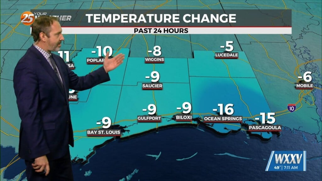
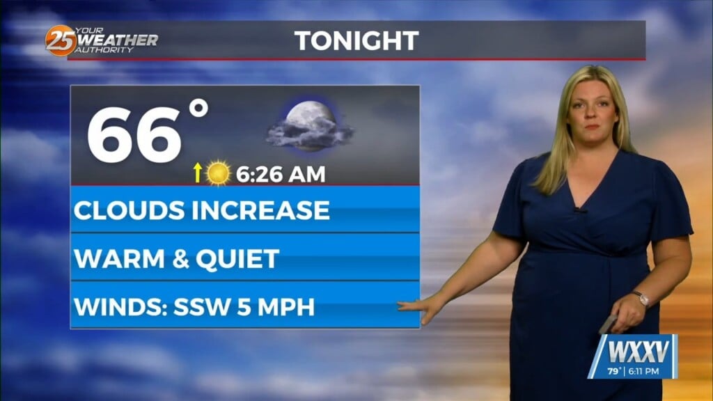
Early this morning, what is left of a weak stationary front remains draped across our area. The front is now south of the area making a transition to a stationary front. This will bring a drier air mass into the area with a NE wind. Although activity is expected today, it will come very isolated and mainly along the coastal counties. The drier air really wins over later tonight pushing south into the northern Gulf, which fortunately will lead to less overall nocturnal convection across warmer shelf waters. It will feel noticeably drier and a tad cooler for many come daybreak Thursday, with projected lows reaching the upper 60s as far south as our interior counties.
During the day on Thursday, we mix out strongly by late AM into the afternoon hours with very little cloud cover other than some upper-level cirrus and typical spotty low level cumulus. Even with projected highs reaching the low 90s, forecast max heat indices will only range roughly 4-8 degrees warmer thanks to slightly lower dew points. Very little changes going into Friday, other than a steady moistening trend in the low-levels leading to surface dew-points returning back into the low to mid 70s. This will help support just a notch higher overall precip coverage during peak afternoon heating, but still not seeing significant impacts aside from a rather typical summertime pattern closing out the week.


