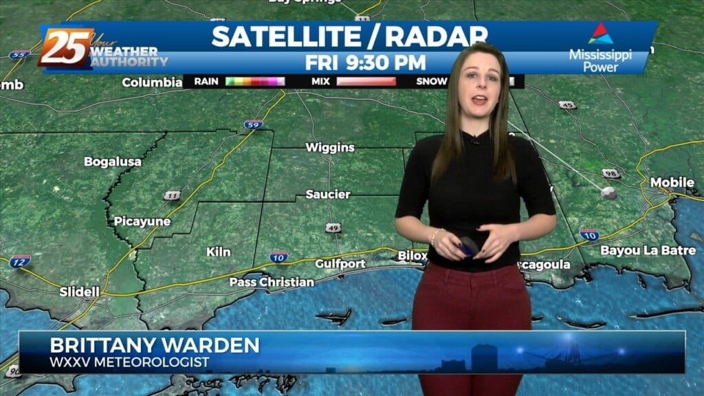
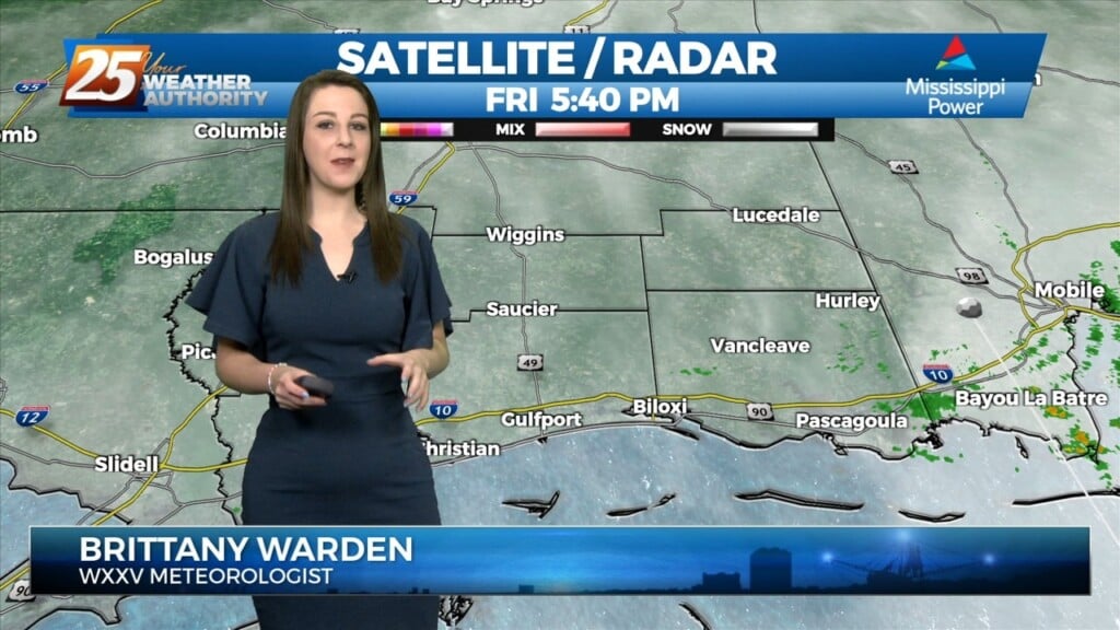
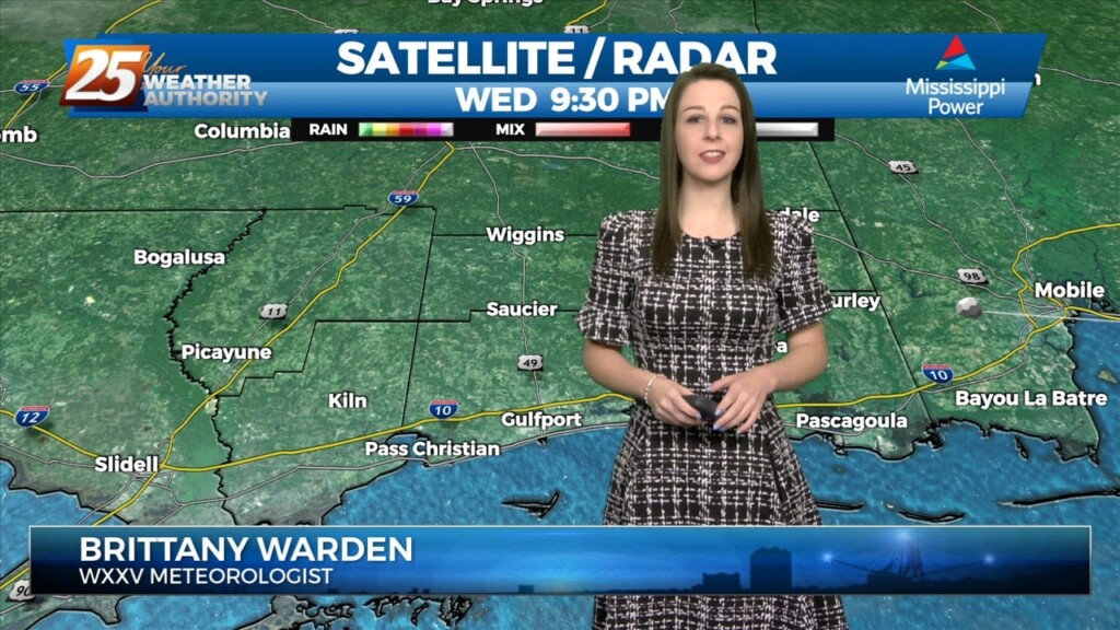
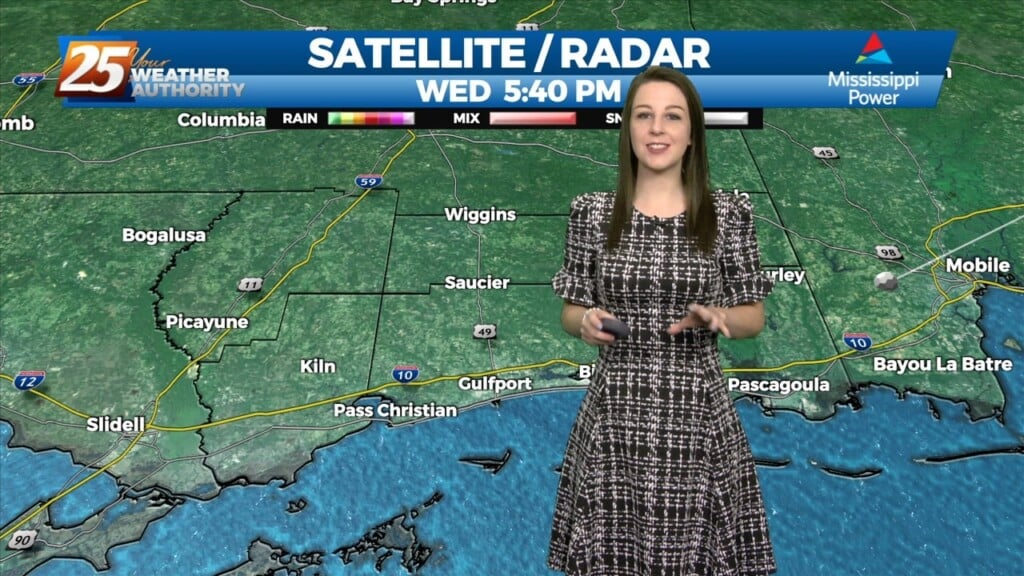
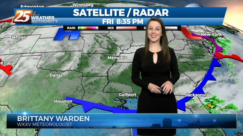
3/24 - Brittany's "Calm For Now" Friday Night Forecast
Scattered showers have developed generally along and north of the I10/12 corridor over the last few hours. The special 18z sounding shows plenty of instability. However, a…
Scattered showers have developed generally along and north of the I10/12 corridor over the last few hours. The special 18z sounding shows plenty of instability. However, a…
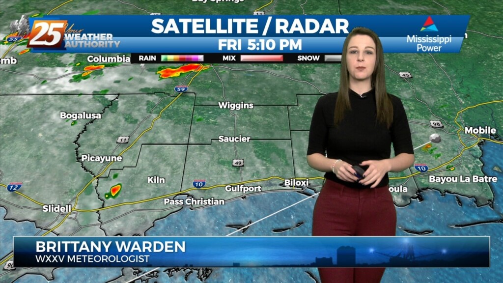
Scattered showers have developed generally along and north of the I10/12 corridor over the last few hours. The special 18z sounding shows plenty of instability. However, a…
Warm temperatures, breezy conditions, and cloud coverage will dominate this afternoon. High temperatures will be in the 80s with winds gusting nearly 30 MPH. Inclement weather in…
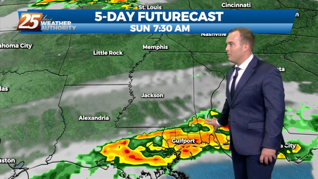
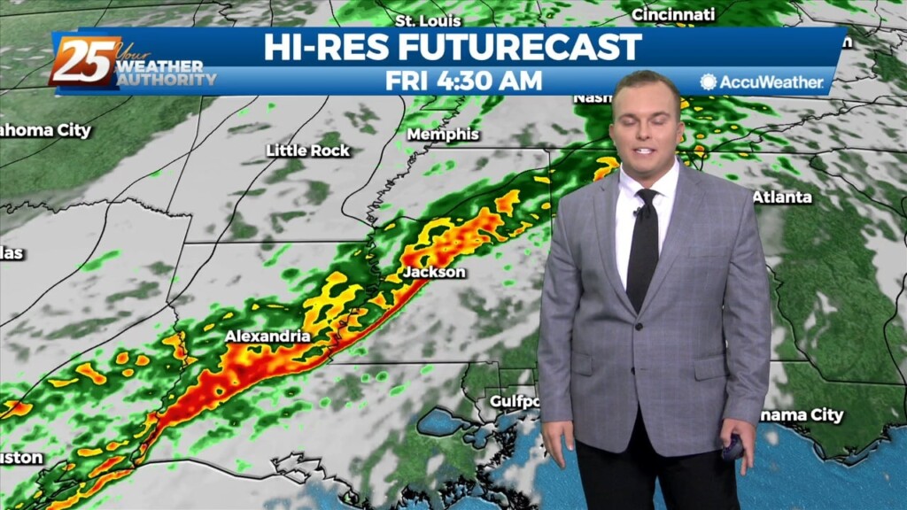
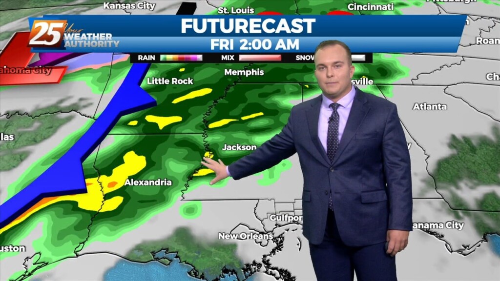
Late Friday into Saturday morning, a shortwave system will move through the area. Strong warm air advection due to southerly winds ahead of the system will help…
Late Friday into Saturday morning, a shortwave system will move through the area. Strong warm air advection due to southerly winds ahead of the system will help enhance instability.…
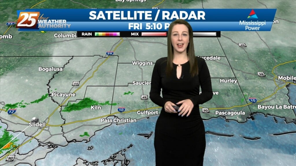
The stubborn low cloud deck from earlier has broken up some. Temperatures will be very warm this afternoon under partly cloudy skies and breezy conditions. The mild pattern…
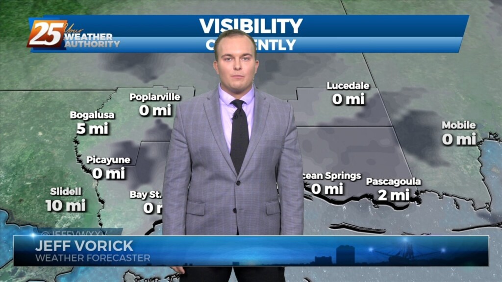
Patches of dense fog will be around this morning. Once daylight arrives, the fog will gradually dissipate through the start of the day. Winds will become…
The warm-up has begun across our area! Temperatures are soaring well into the 60s this afternoon under plenty of sunshine. Winds are breezy out of the…
Cold front has cleared pretty much all land areas in Louisiana and Mississippi and continues to push eastward through the coastal waters. A broad band…
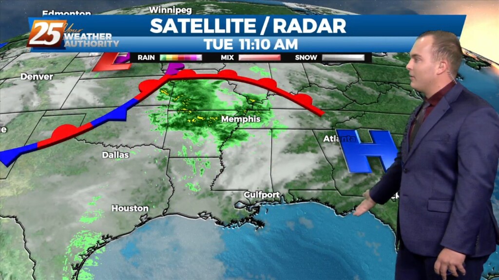
A line of showers/t-storms to the west associated with an approaching cold front will move into through area this morning into early afternoon. A…
All is quiet now as we await our next weather system. The upper trough is currently over the Dakotas with a weaker shortwave/jet type feature moving…
All is quiet now as we await our next weather system. The upper trough is currently over the Dakotas with a weaker shortwave/jet type feature moving across the…
Warmer temperatures will affect the area this afternoon as a southerly return flow develops. Expect partly to mostly cloudy skies from west to east as moisture…
Surface high pressure and an upper level ridge are sliding to the east primarily bringing a shift in wind direction through southeasterly and ending up southerly and…
Surface high pressure and an upper level ridge are sliding to the east primarily bringing a shift in wind direction through southeasterly and ending up southerly and around 10…
Cool conditions will remain today under abundant sunshine. Winds will be shifting to an easterly, and then southeasterly direction as high pressure moves farther east. Thanks to southerly…
Zonal flow aloft will turn northwesterly tonight as an upper- level shortwave trough, currently over Texas/Oklahoma, approaches and passes over our region. Upper ridging builds in its wake…
Zonal flow aloft will turn northwesterly tonight as an upper- level shortwave trough, currently over Texas/Oklahoma, approaches and passes over our region. Upper ridging builds in its wake…
Cool conditions continue today with high temperatures only maxing out in the low 60s. Clouds will be on the increase into this evening as a minor disturbance moves…
Surface high pressure and an upper level ridge dominate the weather for the next couple days. This results in cool, dry air bringing some relief to the warm trend…
Surface high pressure and an upper level ridge dominate the weather for the next couple days. This results in cool, dry air bringing some relief to the…
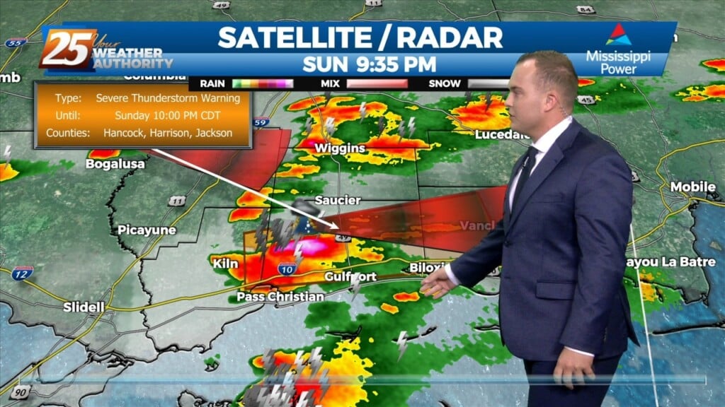
Showers and a few thunderstorms are making their way through South Mississippi as a cold front transits the region. High wind gusts and small hail can…
We've officially had a cold front make it's way through our area and can expect colder and drier conditions behind the front for a brief period of time. Main…
We've officially had a cold front make it's way through our area and can expect colder and drier conditions behind the front for a brief period of time.…