3/23 – Jeff’s “Very Warm” Thursday Afternoon Forecast
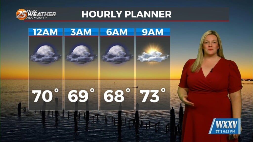
The stubborn low cloud deck from earlier has broken up some. Temperatures will be very warm this afternoon under partly cloudy skies and breezy conditions. The mild pattern will stick around and overnight, and winds will remain somewhat elevated.
Fog has the potential to be around Friday morning for areas that see winds relax enough. More in the way of cloud coverage will be present. Rain chances of around 20% can be expected for pop-up shower activity during the afternoon and evening hours. There is a low-end threat for severity for the overnight hours into Saturday. Breezy conditions can be expected Friday and much of Saturday.
The bulk of the activity will develop to our north. The best ingredients for all modes of severe thunderstorms will remain along and north of the I-20 corridor. Supercells will transition into a line of showers and the very tail end of that could clip our area with brief rainfall and an isolated strong wind gust or two before daybreak Saturday,
The cold front will usher in brief dry time for the second half of Saturday. The front then stalls, and moves back northward into Sunday. Then, it will park itself in our region leading to an unsettled look for Sunday into the new workweek.


