3/23 – Brittany’s “Warm” Thursday Evening Forecast
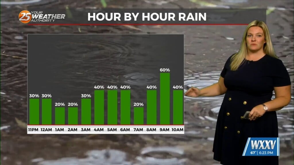
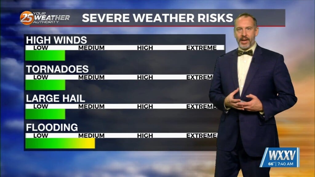
Late Friday into Saturday morning, a shortwave system will move through the area. Strong warm air advection due to southerly winds ahead of the system will help enhance instability. Weak upper level divergence will help to enhance lifting in the environment, especially in the northernmost areas. Some strong storms may be possible, but currently in the models, shear seems fairly weak overall and surface winds are more southwesterly (unfavorable directional shear). Currently, the low is forecast to be pretty far north, so the best dynamic forcing will stay to our north. Timing will be pretty important. The models have the system arriving to the area just after sunset on Friday and persisting through the overnight hours, which will limit severe potential. If it develops faster, the system may be a little stronger than expected because it could tap into some of the additional instability from daylight, but the reverse is also true. Looking at the current pattern in the models, there could also be some concern for localized flash flooding, especially for the northernmost areas. This will be something worth monitoring as we get closer to the event. Overall, the best forcing and shear being to our north will really limit the severe potential, but small changes in the forecast and parameters could make a big change, so we will be watching it closely.
Saturday the front will stall off the coast and refire Sunday and again Monday with the warm front. Zonal flow will dominate the upper level pattern. Surface winds will persist Saturday especially by Sunday morning as the warm front moves northward. Looking at the models, Saturday will be fairly dry.


