3/23 – Jeff Vorick’s “Patchy Dense Fog” Thursday Morning Forecast
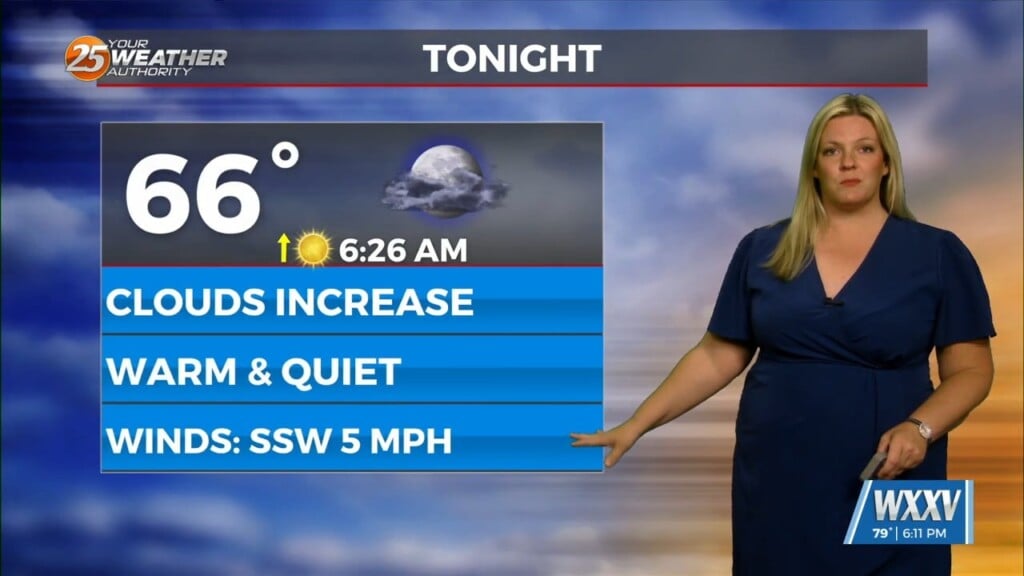
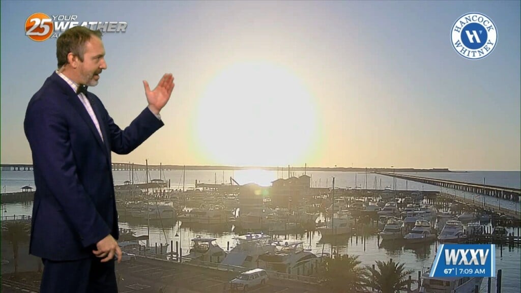
Patches of dense fog will be around this morning. Once daylight arrives, the fog will gradually dissipate through the start of the day. Winds will become elevated this afternoon with 10 to 15 MPH southerly winds. Temperatures will be very warm today with highs in the upper 70s! Partly cloudy skies can be expected.
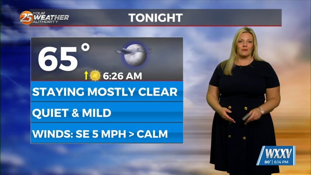
Fog has the potential to set up overnight if winds can relax enough. Mild and muggy conditions will remain through the end of the week. Friday will be warm again and breezy with more in the way of cloud cover. Our area is under a low-end threat for severe thunderstorms, mainly for the overnight Friday into Saturday.
Chances of rain are 50% or so before daybreak Saturday. Then, clearing skies behind the cold front can be expected for the first portion of the weekend. The front will then surge back northward for the second half of the weekend. An unsettled pattern can be expected for the latter half of the weekend and first part of next week.


