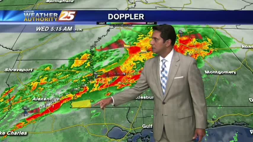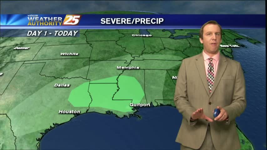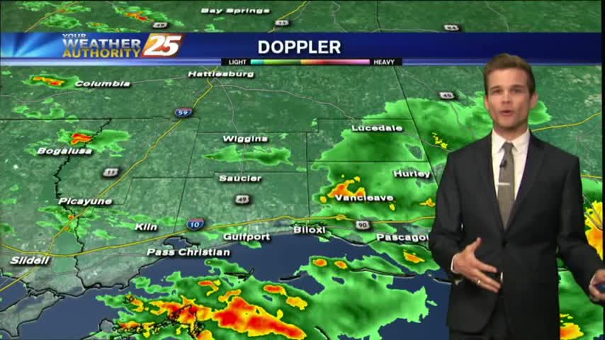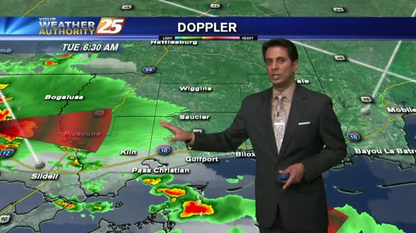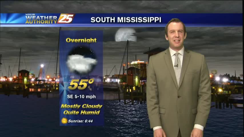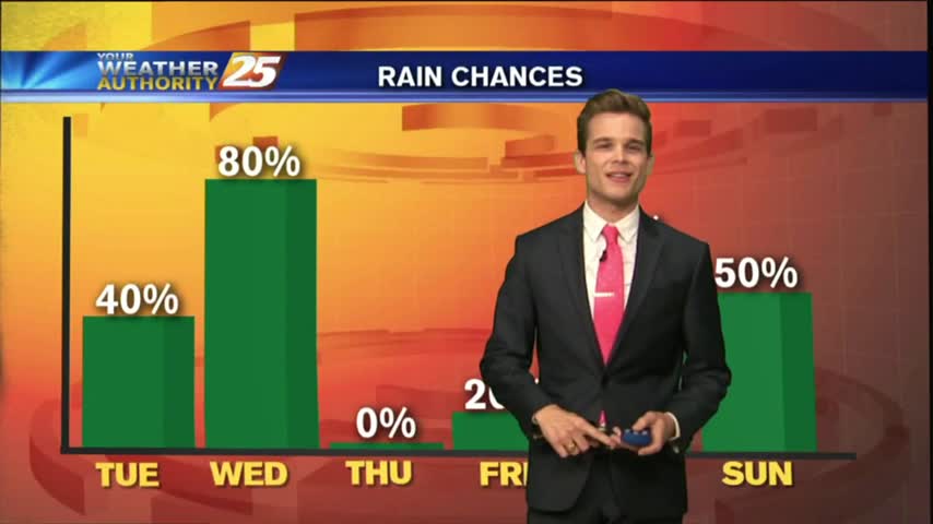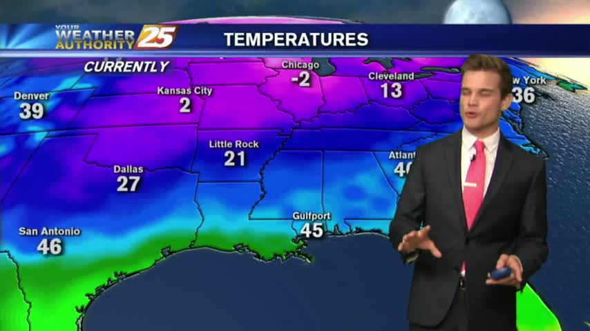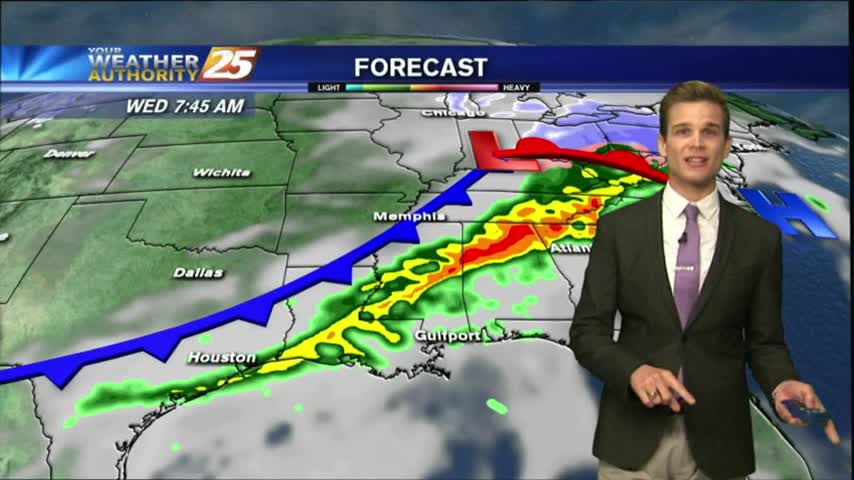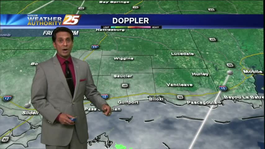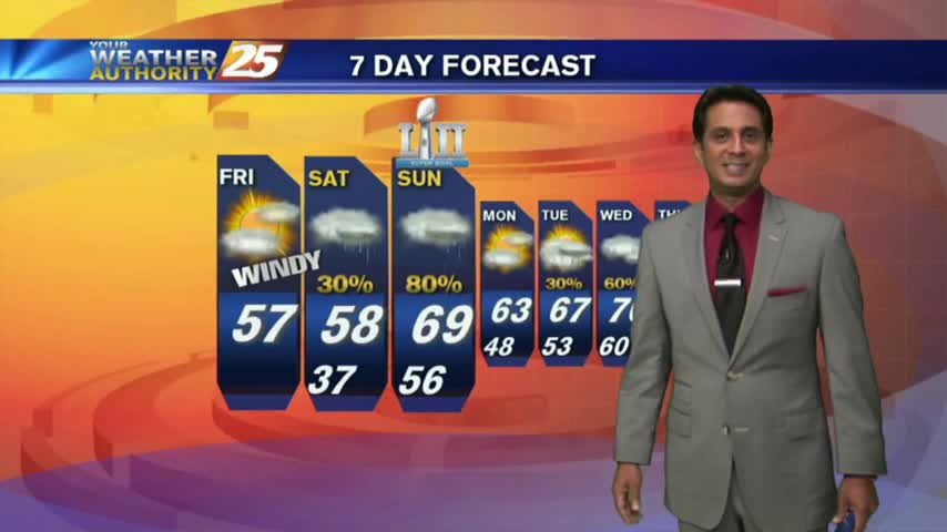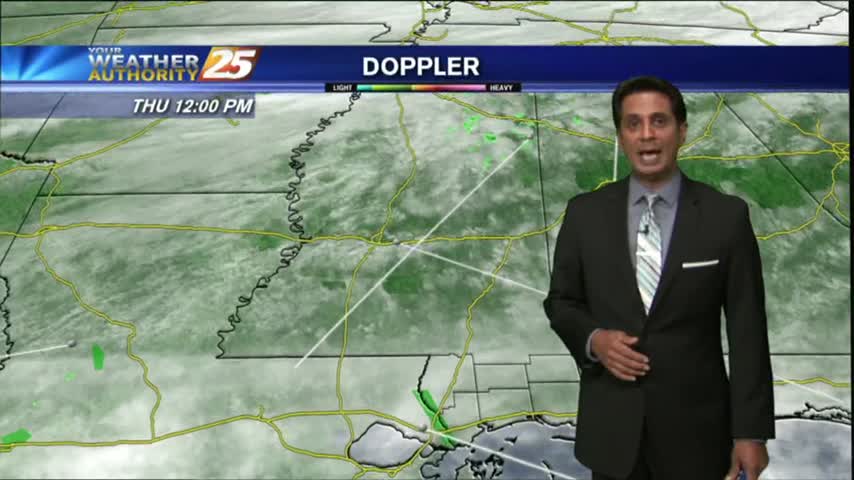
02/08 Ryan's "Increasing Clouds" Thursday Night Forecast
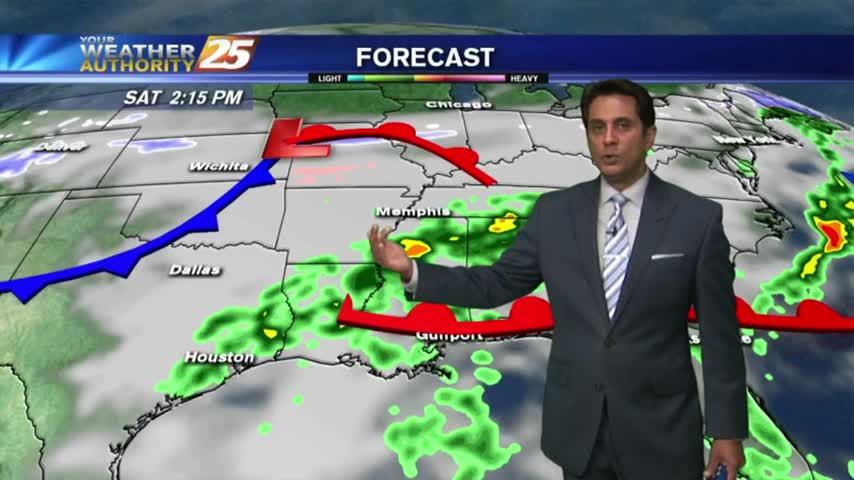
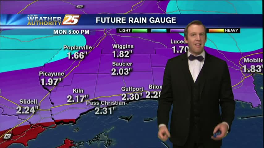
Everyone asked me how long the beautiful weather today would last, and the short answer is, "that was it." We'll see increasing clouds tonight and rain all weekend long, but you'll have click the forecast link for the details.