2/1 - Rob's MUCH WARMER Thursday Morning Forecast
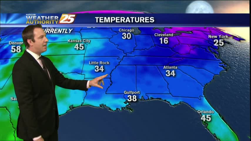
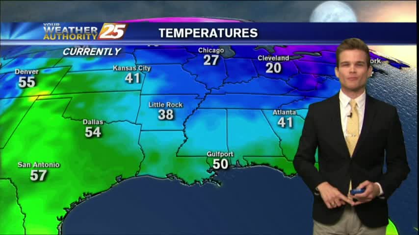
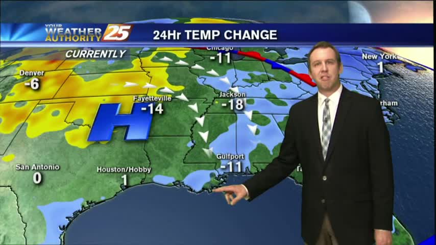
After a FREEZING start yesterday morning, temps are a good 20 degrees warmer under cloudy skies...
After a FREEZING start yesterday morning, temps are a good 20 degrees warmer under cloudy skies...

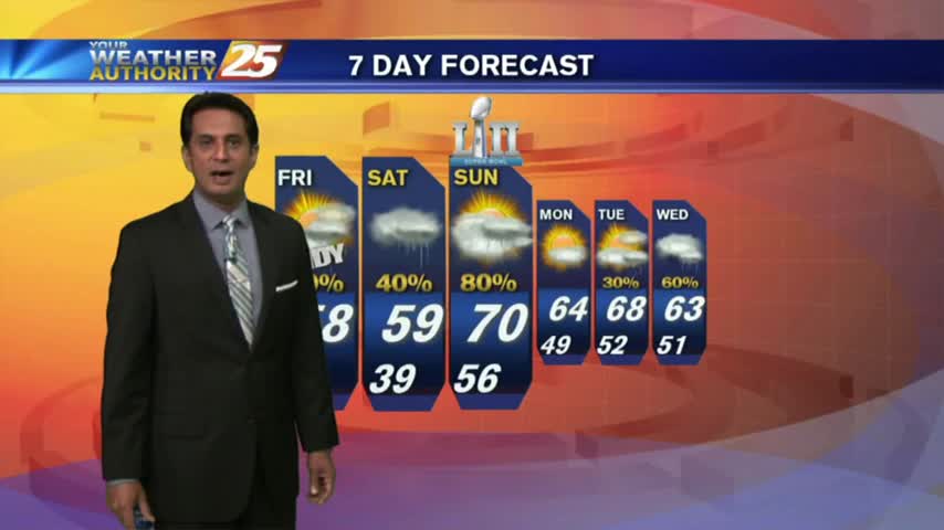
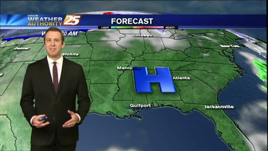
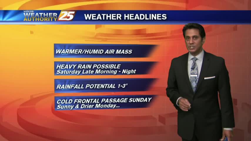
It'll be significantly warmer tonight than it has been over the last few as Gulf moisture and warmer air is pushed inland by southerly winds. Click this link for the full forecast.
This afternoon warmed slightly compared to yesterday, but tonight will be significantly warmer than last night which produced a light frost. Click the forecast link for more information.
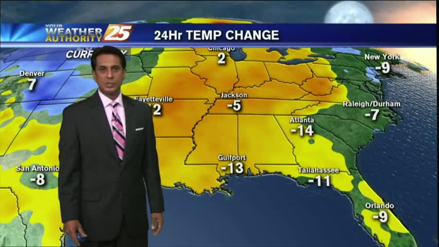
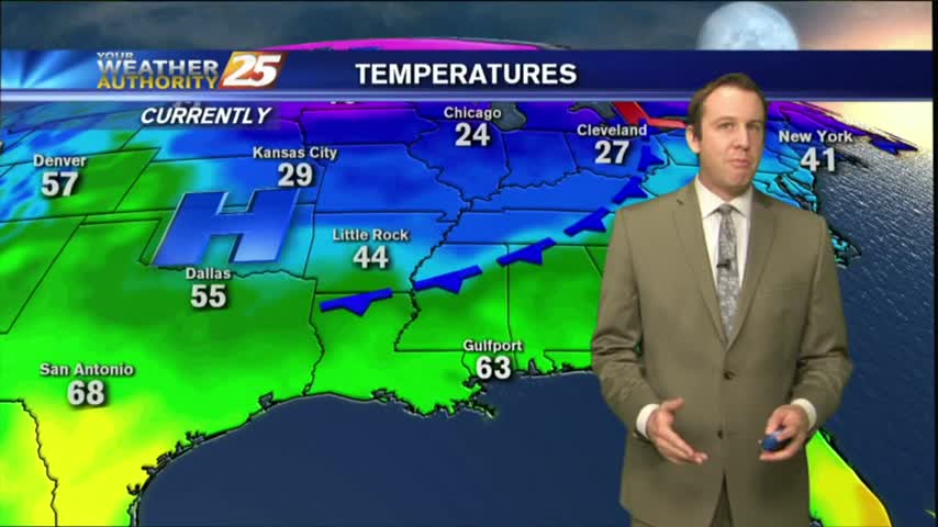
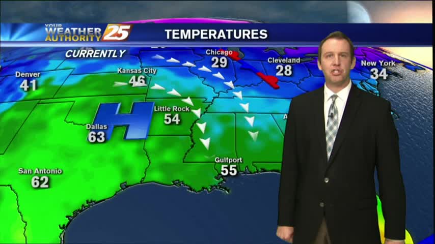
After another morning of FREEZING temps, the mercury is rising nicely with the return flow in full effect...

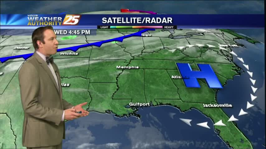
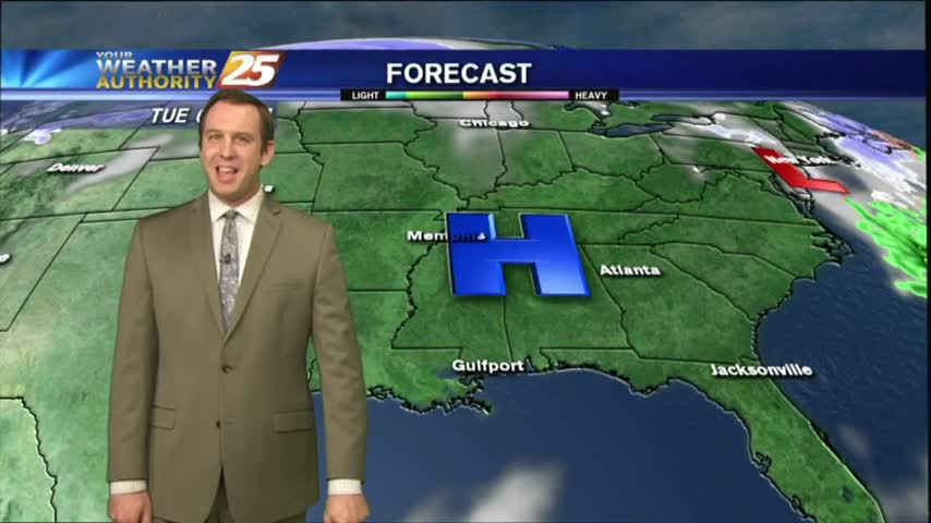
After a FRIGID start, major changes will occur as an area of high-pressure to our east brings the return flow back to the region...
Rare astronomical phenomenon will occur tonight as we'll experience a "Super Blue Blood" Moon during the overnight hours in the very early morning. Watch the full forecast for details.
It was much cooler this afternoon than it was the day before, but expect it to be only slightly colder tonight. We'll see rapid changes from tomorrow through the weekend though, so watch the full forecast for the details.
A cold start, and a cool day expected, but warmer, wetter weather is on the way.

A chilly/frigid start to the day with continued breezy conditions from last night...
After a clear and warm afternoon, we're headed for a clear and chilly evening. Continued cooling will bring nearly perfect conditions tomorrow though, but you'll have to click the forecast link for details.
Grey skies, humid air, and rainy conditions have all been pushed to the East by yesterday's cold front, and the sunny and clear days will linger through the middle of the week. Changes happen quickly though, click the link fore more.
Nice weather this afternoon, but a bit breezy as north winds continue across the area.
After a RAINY weekend, the weather is east as clouds are clearing from the NW to the SE...
After a wet weekend, improving weather will usher in the new week.
Today was the warmest and most humid day we've seen all week, but after a rainy weekend we'll get back to those cooler and dry days. Click here for the full forecast with Meteorologist Ryan Mahan.
The humidity has been rising throughout the day and rain is expected overnight. Expect a few thunderstorms tomorrow, but you'll have to click this link for the full forecast.

After a MUCH WARMER start to the day earlier this morning, mild and humid conditions can be expected this afternoon with windy conditions...
Yesterday morning brought a FRIGID start to the day...this morning the mercury in the mid/upper 40s...
Cooling continued this afternoon and will continue into the night, but the thermometer will begin swinging the other way tomorrow. Click the link for the full forecast details.
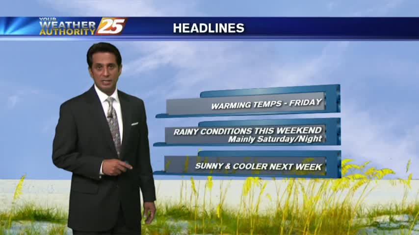
We cooled into the upper 50s as expected today, but now we'll begin a warming trend which will carry us into the weekend. Click here for the full forecast with Meteorologist Ryan Mahan.
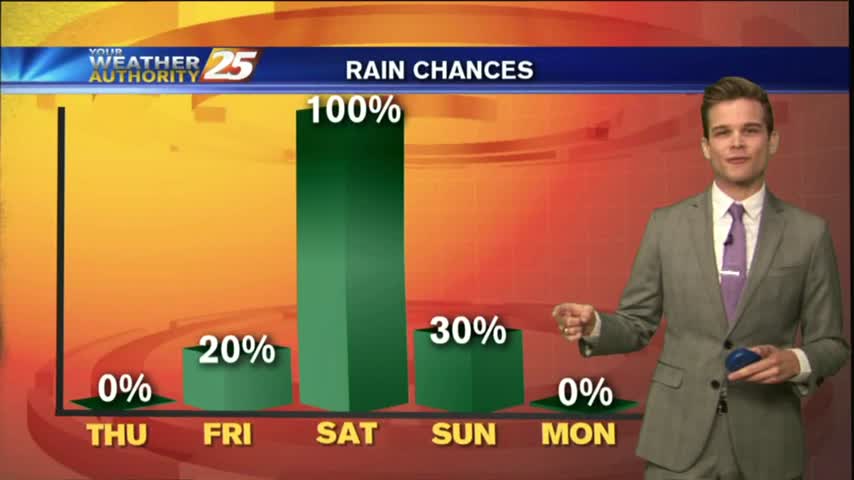
Cool today, cool tomorrow, then rain for the weekend.
A CHILLY start to the day with mid/upper level clouds moving across the N'tern Gulf of Mexico...
Northerly winds continue bringing colder and drier air into South Mississippi, setting us up for a few beautifully dry and sunny afternoons. Still in for a few chilly nights though; click here for the details.
Yesterday's forecast for today was right on! It was slightly cooler, considerably drier, and these conditions will last through the end of the week. Click here for the full forecast with Meteorologist Ryan Mahan.