Weather Headlines

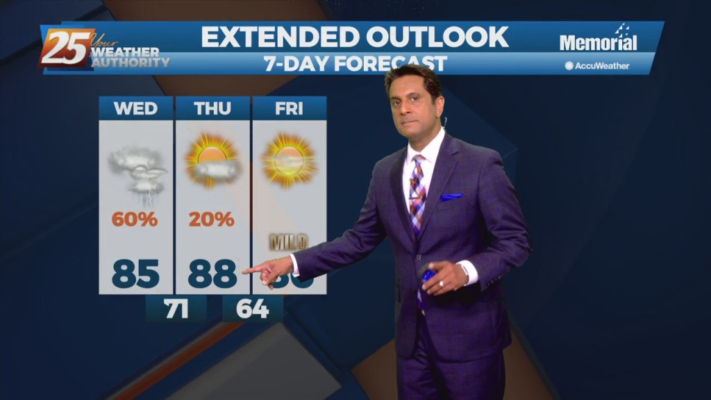
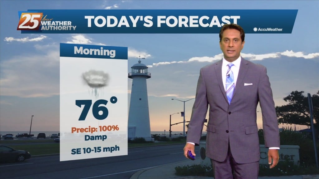
9/15 - Rob Knight's "Flash Flood Watch" Morning Forecast

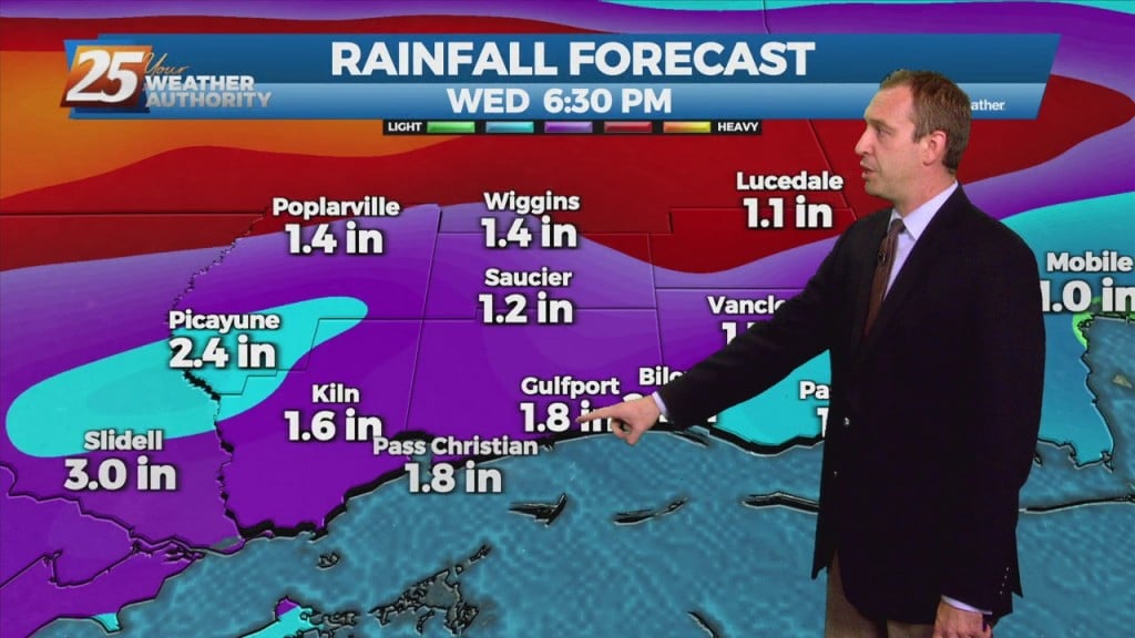
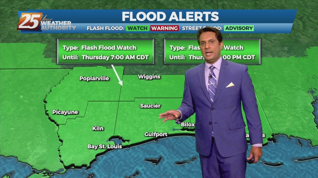
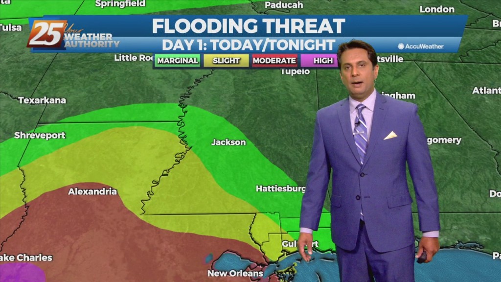
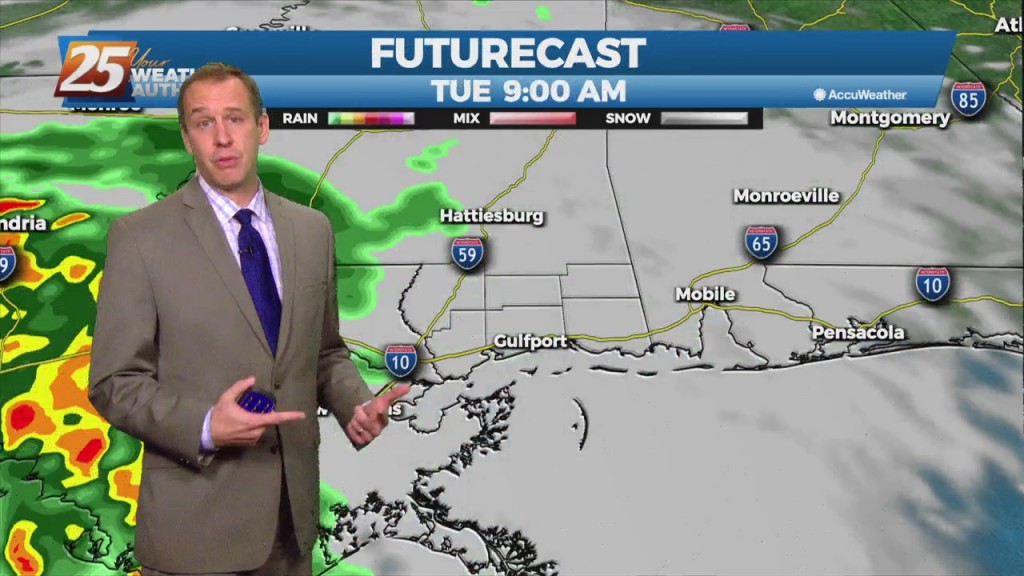
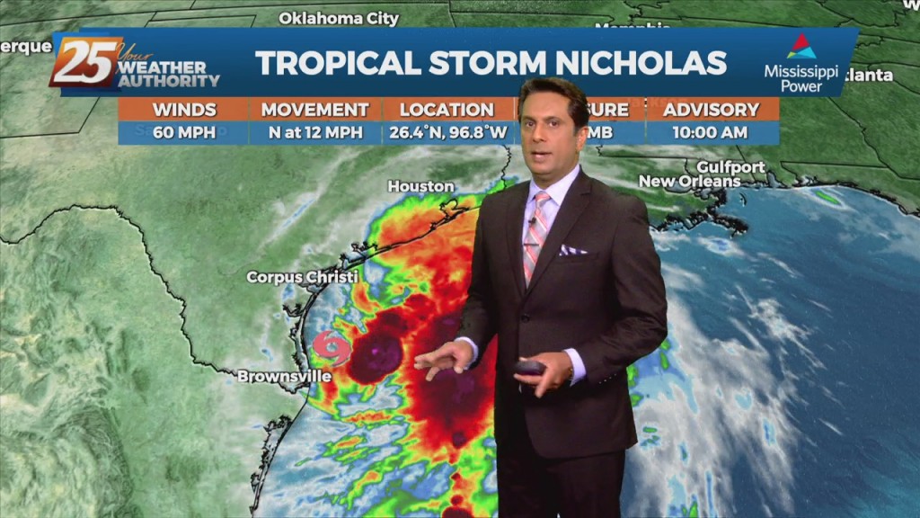
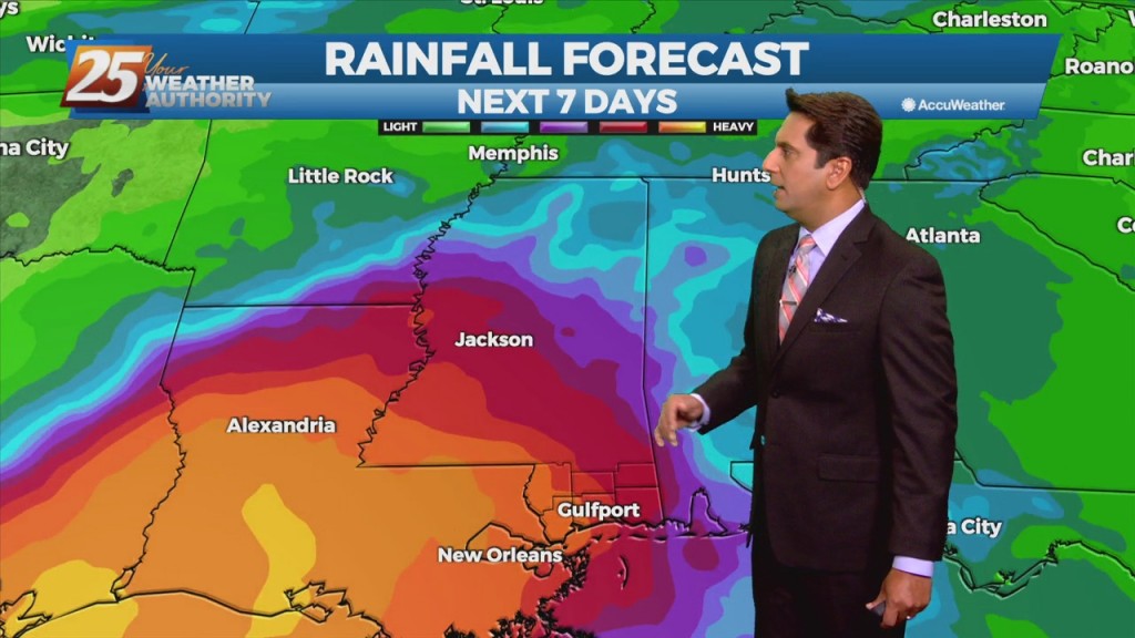
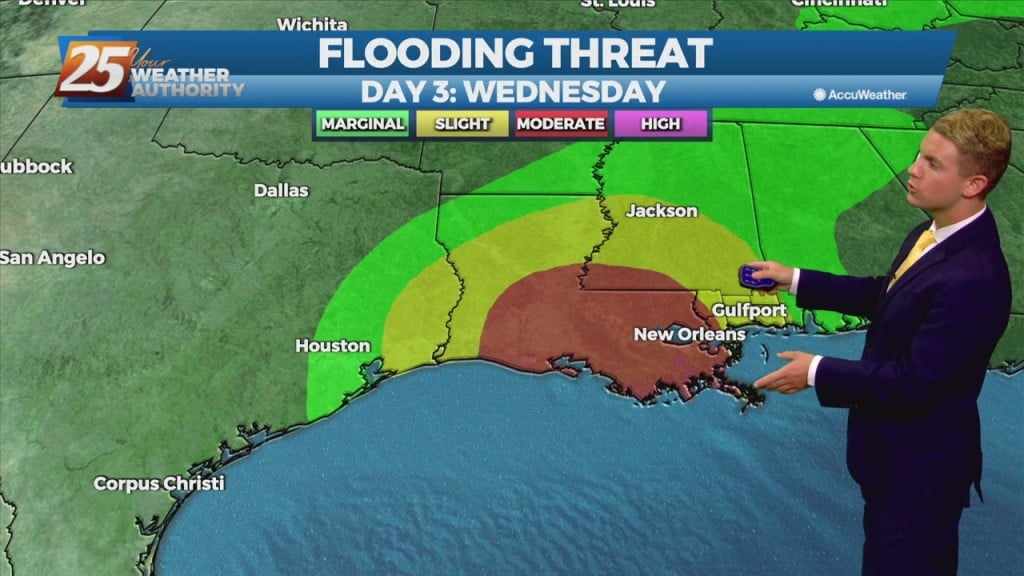
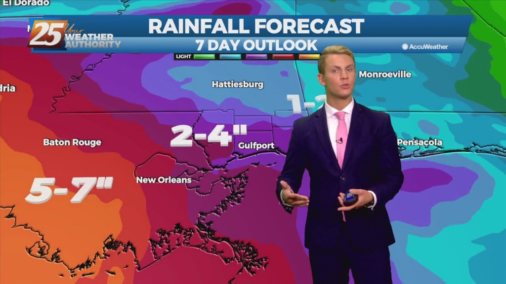
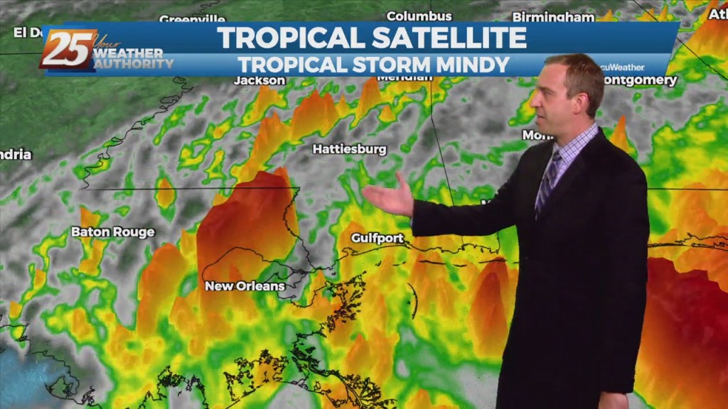
TD Nicholas is weakening near the Lake Charles area. Drier air has been wrapping around the southwest quadrant of the storm. Satellite appearance is more resembling of an extra-tropical pattern. The main concern will, of course, be heavy rainfall, with the largest…
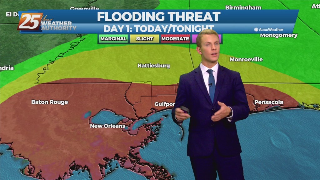
9/14 - Rob Knight's "Soggy" Tuesday Afternoon Forecast

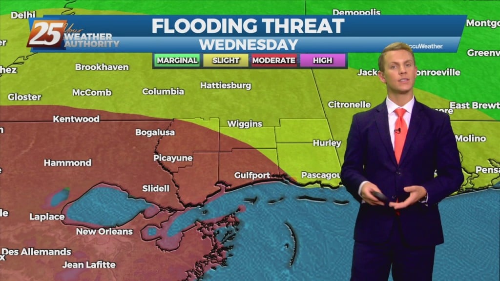
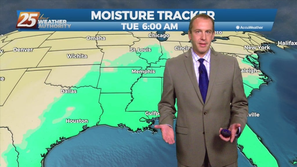
The moisture fetch over the gulf will increase along with wind speeds to around 15-25 kt and remain there for about 24 hours maybe a bit longer. This will be enough to bring up a Coastal Flood advisory for values…

9/13 - Rob's "Gray/Cloudy" Monday Afternoon Forecast

As TS Nicholas lingers in the western/NW'Tern Gulf, the moisture flow will dominate the region. Activity will be moving at a good pace for the next few days which will help keep rainfall totals for any individual storm within tolerance.…

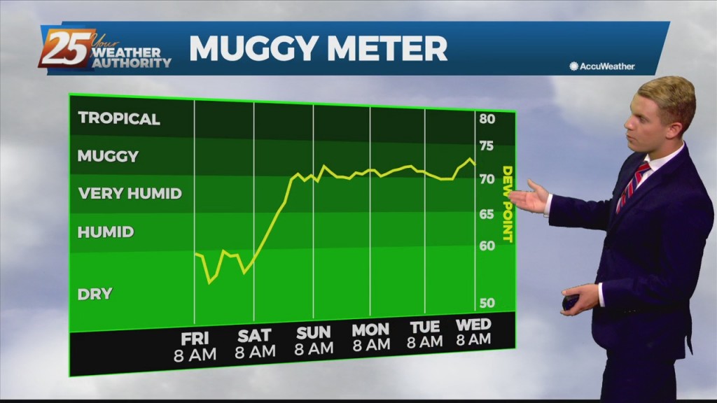
9/9 - Rob's "Very Low Humidity" Afternoon Forecast

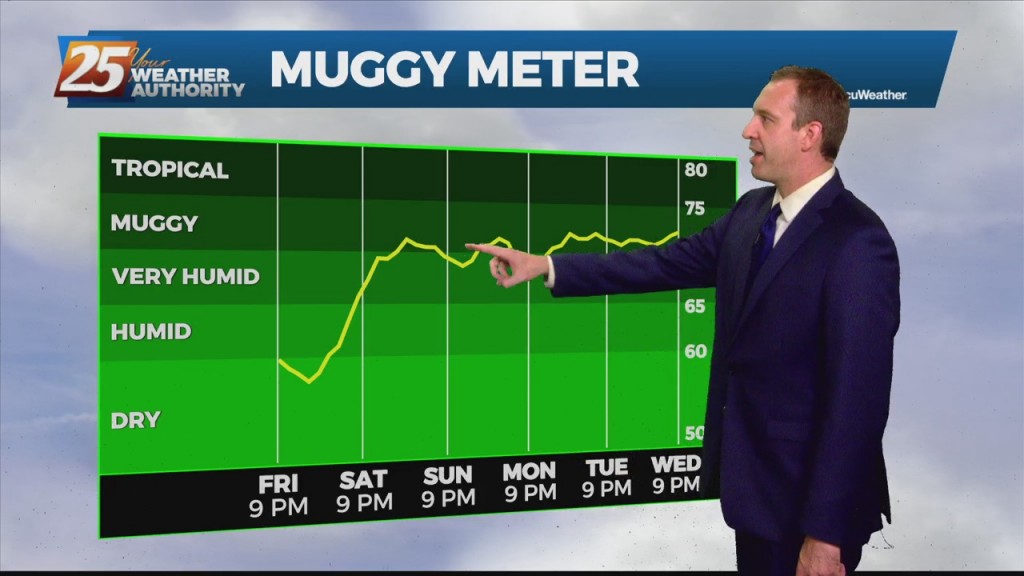
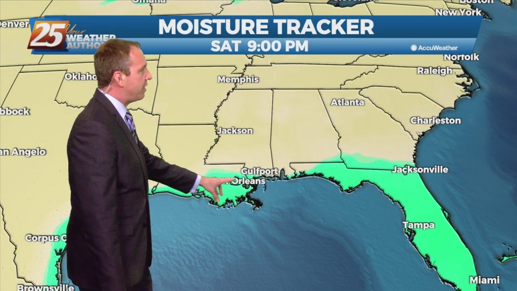
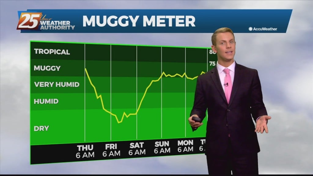
Very low humidity will at the very least be noticeable by most as the relatively dry air will make things feel a bit more comfortable. The comfortable conditions will continue through Saturday before the return flow slowly begins to work…