Weather Headlines

9/21 - Rob's "MUGGY/FOGGY" Tuesday Morning Forecast

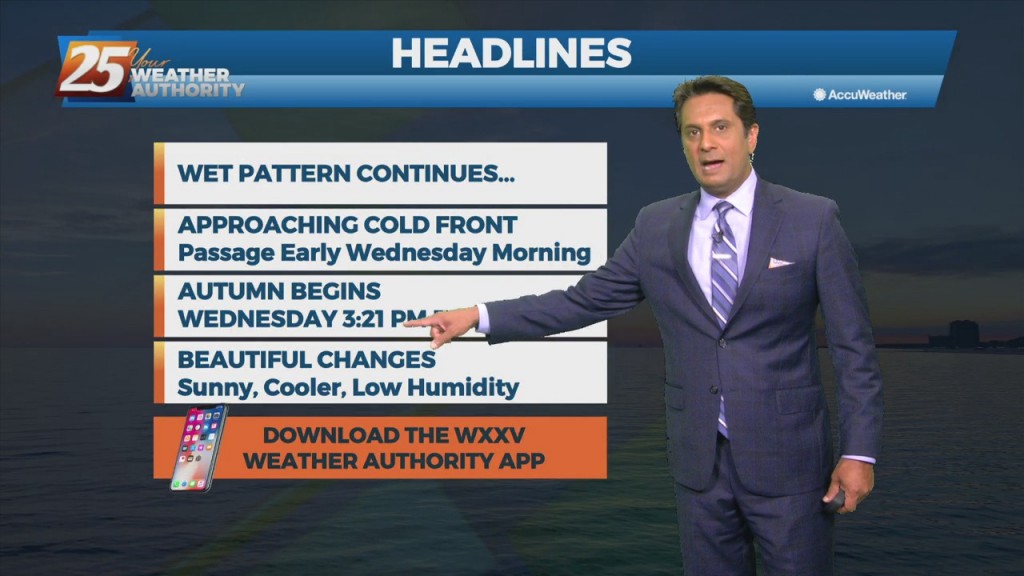
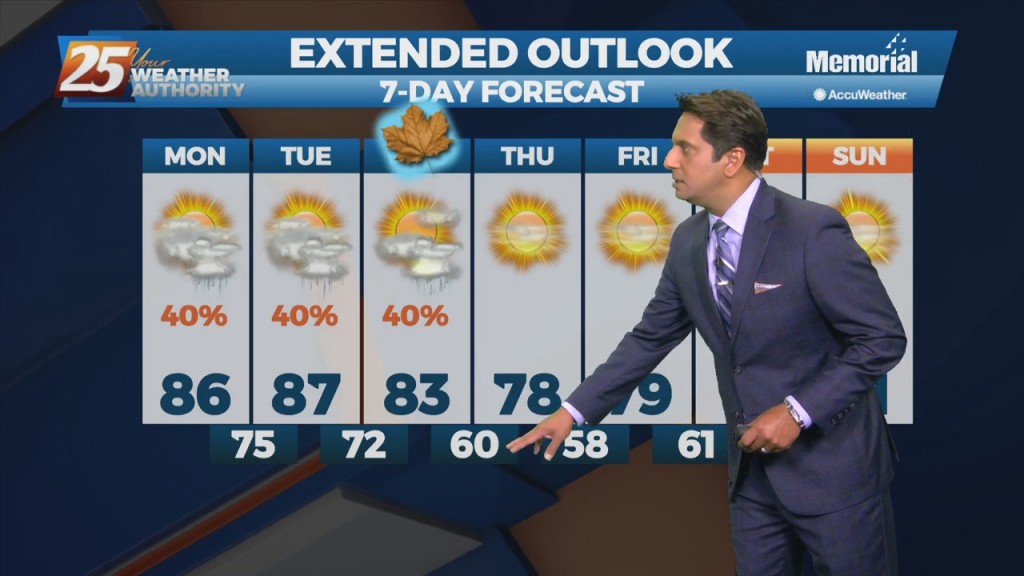
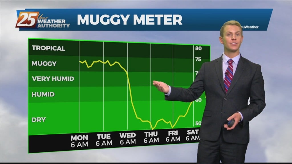
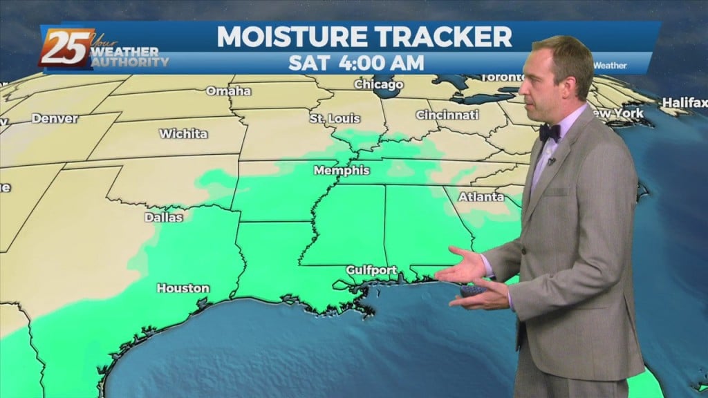
There is one last day of uncomfortable weather before a welcome changes. The disturbance moving through the Great Plains this morning will be over the Ohio River Valley by midday tomorrow. The cold front associated with this disturbance is expected…

9/20 - Rob Knight's "Humid/Cloudy" Afternoon Forecast

A disturbance with an associated cold front are expected to move across the area Tuesday night into Wednesday morning. Models indicate moisture flow decreasing slightly today/Tuesday, but still sufficient for at least scattered showers/t-storms. Scattered convection is also possible just…

9/20 - Rob Knight's "Changing Pattern" Monday Morning Forecast

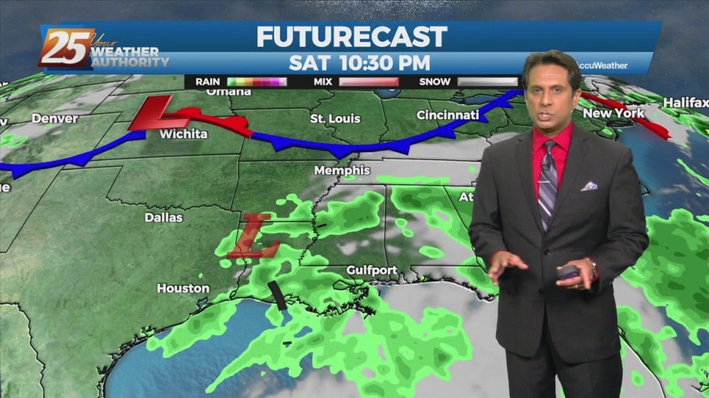
Not a lot of movement with the disturbance along the Mississippi Gulf Coast through Tuesday. That will change Tuesday evening as the northern stream disturbance over the Rockies shifts eastward. This disturbance and the associated cold front are expected to…

09/20 – Brantly's "Muggy" Monday Morning Forecast

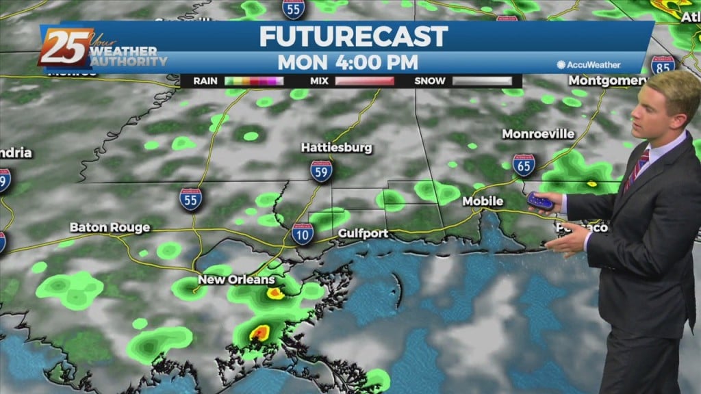
 For Monday, shower/storm coverage will be slightly less and more focused inland. Expect scattered to, at times, numerous coverage of showers and thunderstorms, particularly over inland areas of South Mississippi spreading into inland Southwest Alabama. A low end threat for…

09/19 – Brantly's "Warm and Humid" Sunday Night Forecast

 For Monday, shower/storm coverage will be slightly less and more focused inland. Expect scattered to, at times, numerous coverage of showers and thunderstorms, particularly over inland areas of South Mississippi spreading into inland Southwest Alabama. A low end threat for…

9/17 - Rob Knight's Friday Afternoon "Wet Weekend" Forecast

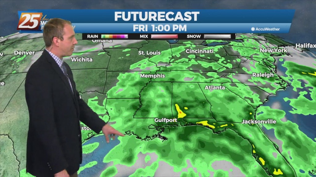
The surface remnants of Nicholas will continue to fill today and drift towards northern Louisiana before completely dissipating. However, an upper level disturbance presently centered over northeast Texas will slide southeast which will use the lingering deep moisture to provide renewed…

9/17 - Rob Knight's "Wet & Damp" Friday Morning Forecast

The low level remnants of Nicholas continue to spin across the region producing scattered showers and thunderstorms. Expect the scattered precip to continue with increased activity this afternoon coupled with daytime heating. Activity will become more isolated overnight with areas…

9/16 - Rob Knight's "Friday-Eve" Afternoon Forecast

The remnants of Nicholas will linger through Louisiana bringing strong moisture flow from the GOM. With a very saturated ground, rain rates would surely push areas into flash flooding. The majority of this should be diurnally driven but some areas…

9/16 - Rob's "Remnants of Nicholas" Morning Forecast

Focus will become more toward rainfall rates and not as much on totals area wide. Rates could be around 2 to 3 inches per hour today through Saturday and isolated areas could see 3 to 5 inches over that time frame.…

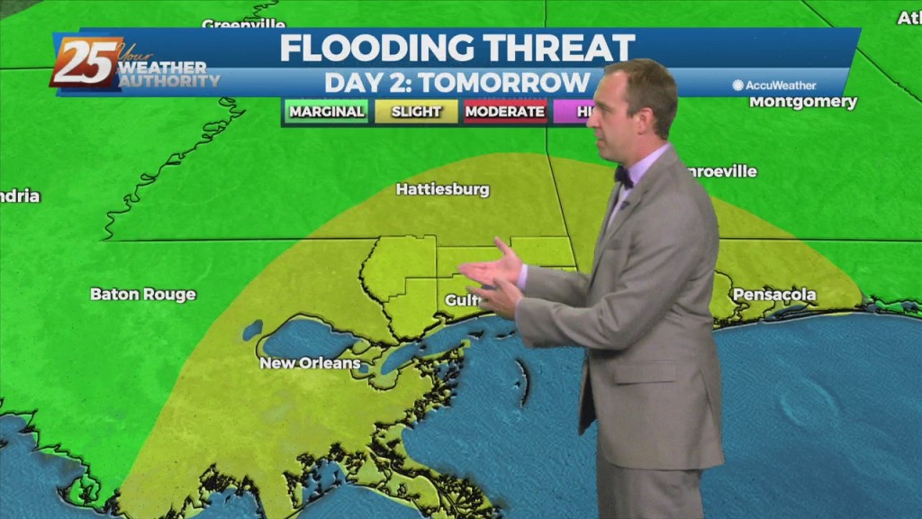
9/15 - Rob's "Threat For Heavy Rain" Afternoon Forecast

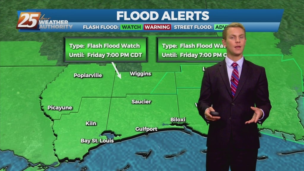
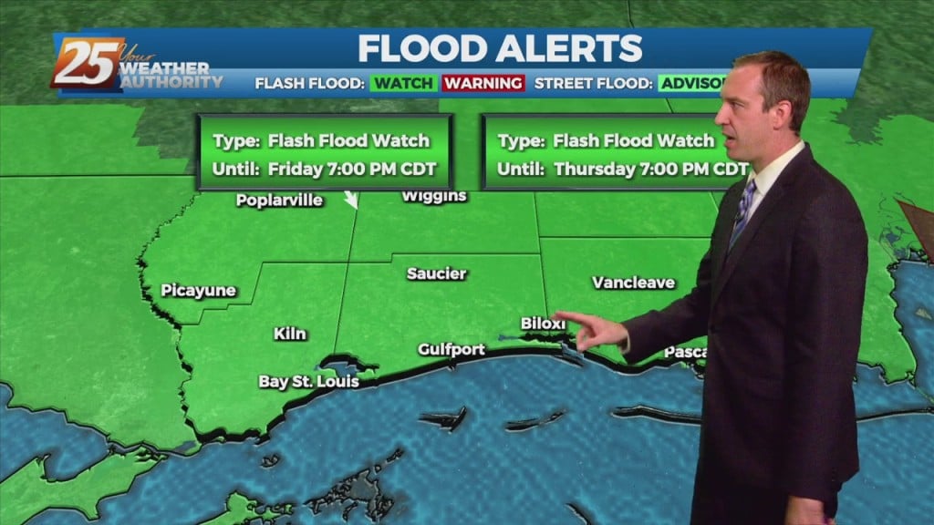
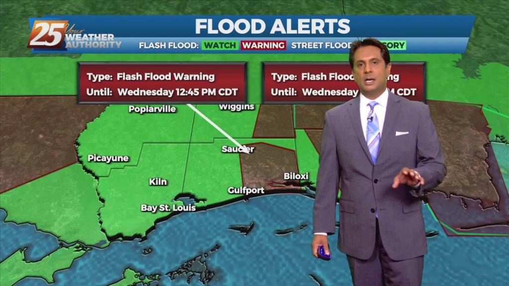
The main concern the next few days will be heavy rainfall, with the potential for ongoing flash flooding.  A FLASH FLOOD WATCH and COASTAL FLOOD ADVISORY is ins effect Hourly rainfall rates can be 1.5 to 2 inches (and possibly…